Saturday - April 13, 2024 Arrive 7:00AM - Depart 7:00PM (Daily Diary Synopsis)
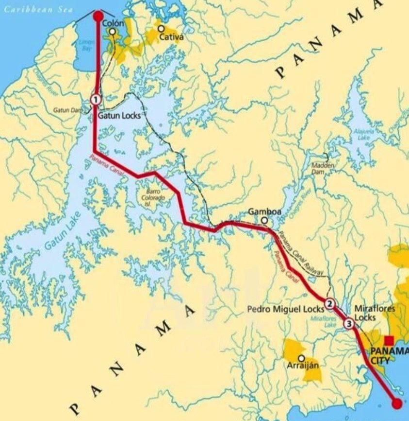
In eight hours we traversed the continents.

Mary ordered coffee every morning at 7:00 am!

We were both excited to have this adventure together. Image, going form the Pacific to the Atlantic in eight hours with 3,000 of your closest friends.
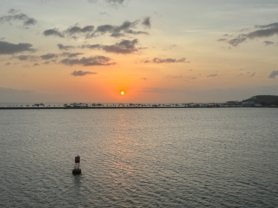
We awaited the Sun's arrival.

Mary got her camera out!
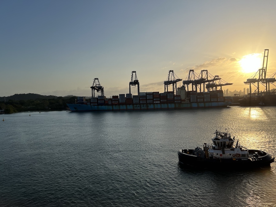
Here comes the Sun!

At work on the Daily Diary!

Coffee gets the heart started!
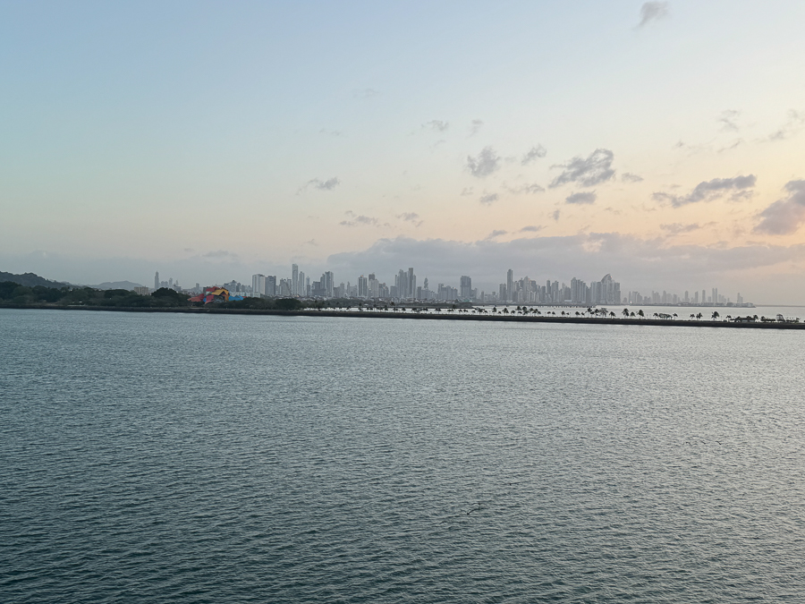
Panama City was in the distance.
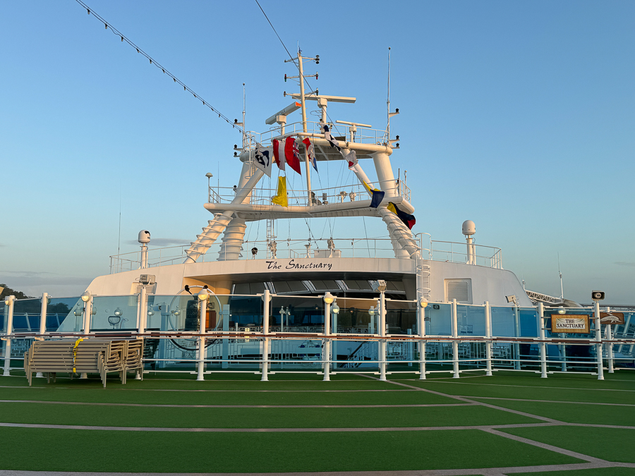
We went "up top" to see the Bridge of the America's up close!
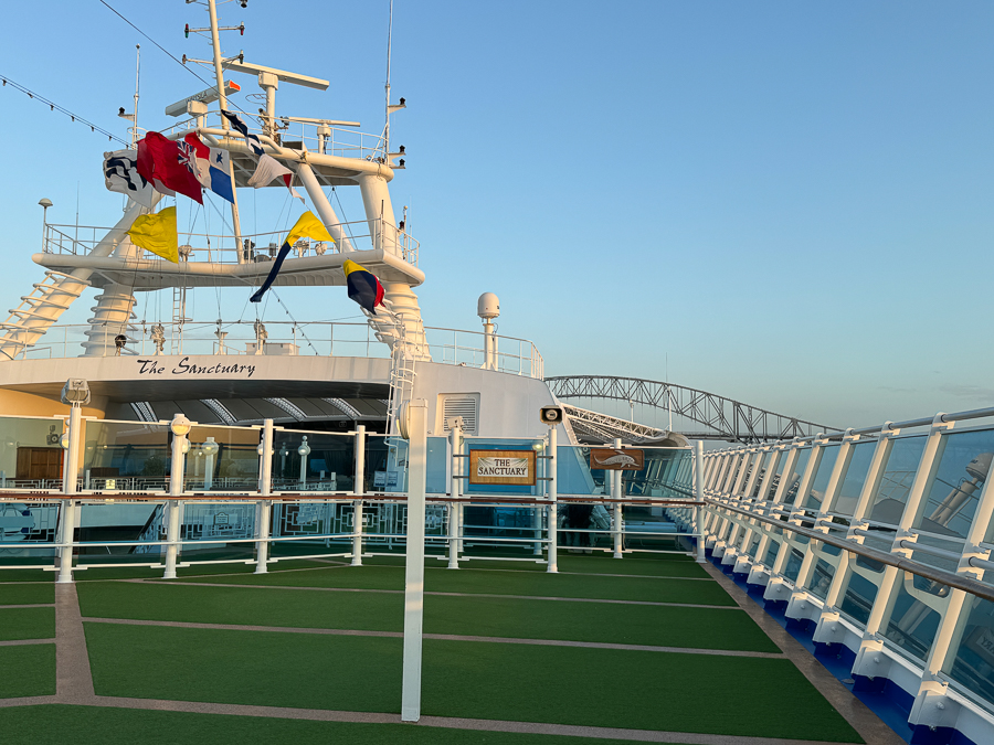
Did we say up close?
Did You Know? - The Bridge of the Americas crosses the Pacific approach to the Panama Canal at Balboa, near Panama City. It was built between 1959 and 1962 by the United States at a cost of US$20 million. From its completion in 1962 until the opening of the parallel Centennial Bridge in 2004, the Bridge of the Americas was a key part of the Pan-American Highway. The Bridge of the Americas greatly increases road traffic capacity across the Canal.
Two earlier bridges cross the Canal, but they use movable designs and have limited traffic capacity. These earlier spans include a small swinging road bridge, built into the lock structure at Gatún, and a swinging road/rail bridge constructed in 1942 at Miraflores. The Centennial Bridge was constructed to eliminate the bottleneck of, and reduce traffic congestion on, the Bridge of the Americas.
The bridge is a cantilever design where the suspended span is a tied arch. The bridge has a total length of 1,654 m (5,425 ft) in 14 spans, abutment to abutment. The main span measures 344 m (1,129 ft) and the tied arch (the center part of the main span) is 259 m (850 ft). The highest point of the bridge is 117 m (384 ft) above mean sea level; the clearance under the main span is 61.3 m (201 ft) at high tide.
Ships must cross under this bridge when traversing the Panama Canal, and are subject to this height restriction. The world's largest cruise ships, Oasis of the Seas, Allure of the Seas, Harmony of the Seas and the Symphony of the Seas will fit within the canal's widened locks, but they are too tall to pass under the Bridge of the Americas, even at low tide, unless the Bridge of the Americas is either raised or replaced in the future. (The Centennial Bridge is also a fixed obstacle, but its clearance is much higher: 80.0 m (262 ft).)
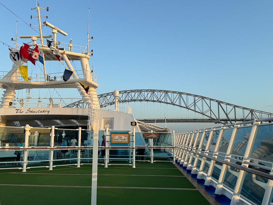
Hang on, it is a tight fit.
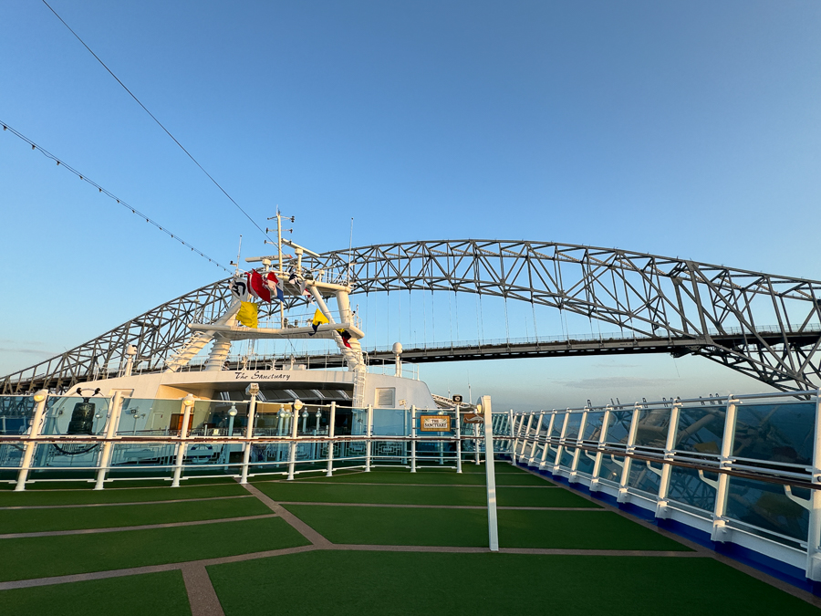
Oh dear!
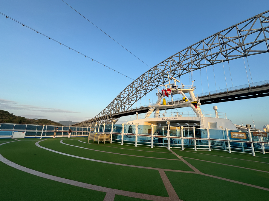
The highest point of the bridge is 117 m (384 ft) above mean sea level; the clearance under the main span is 61.3 m (201 ft) at high tide.
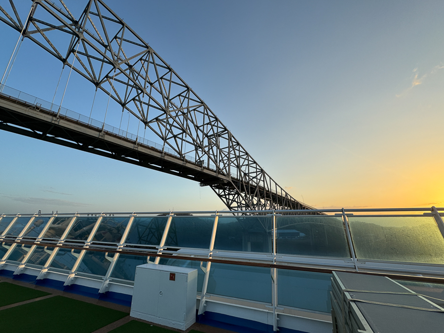
It's going to be close!
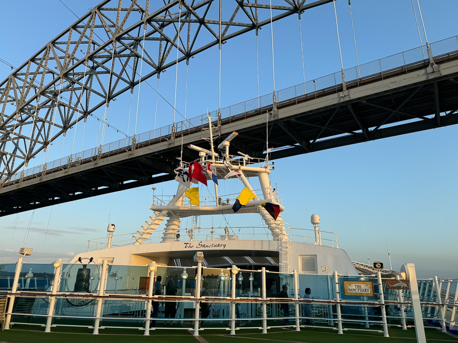
Missed by inches!
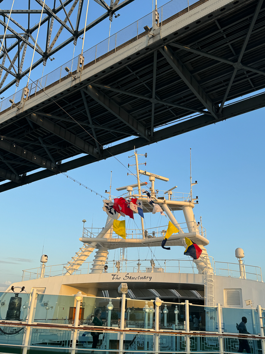
Whew... That was a close call!

Looking back it was no sweat.
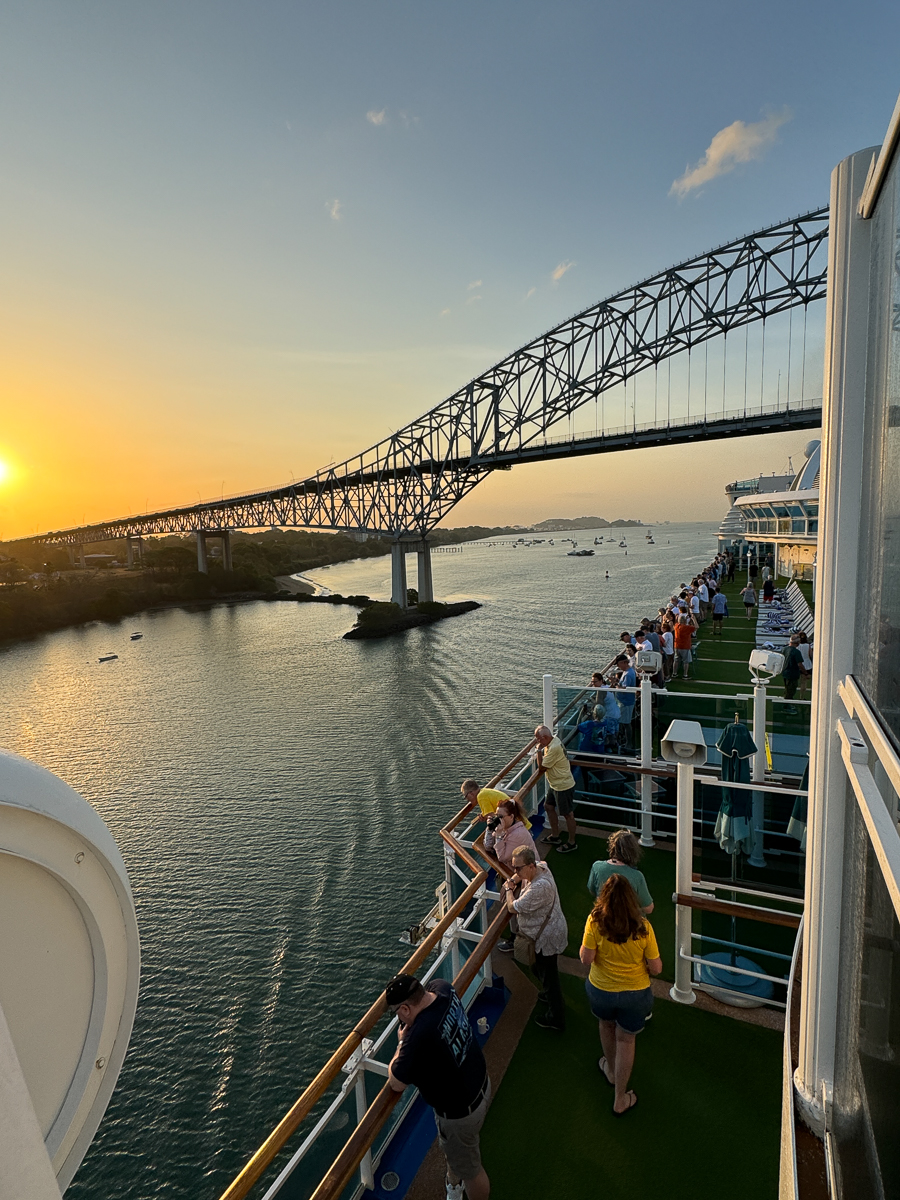
Everyone was on deck admiring the bridge.

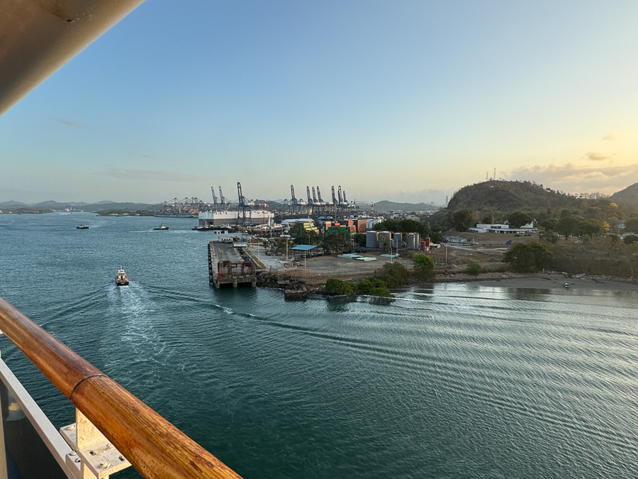
Lots of cargo pass through here.
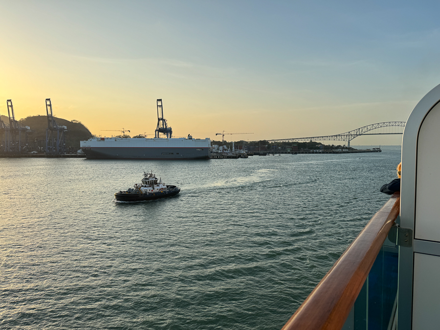
The tug boats were quite busy.
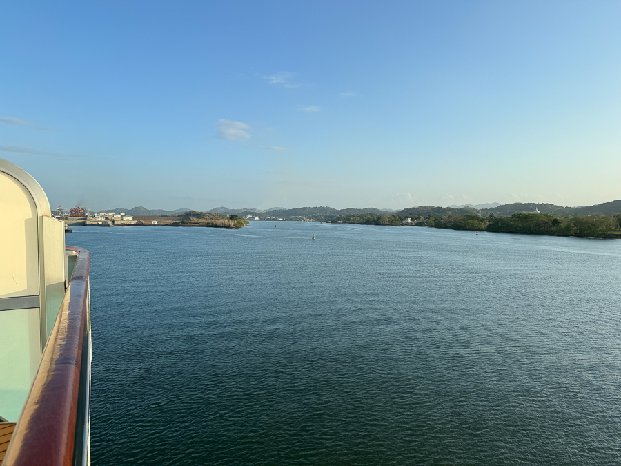
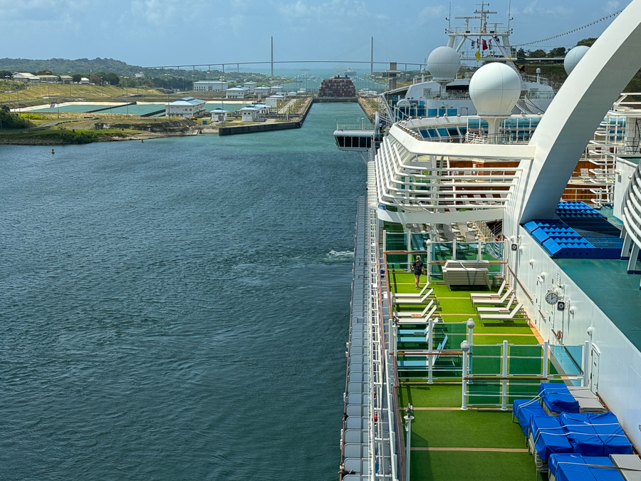
The new locks are to the left; the original locks are to the right.
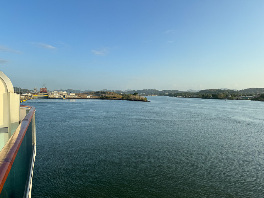
Our first view of the new locks opened in 2016.
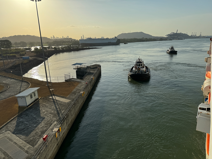
Tugs are used when a little nudging is required.
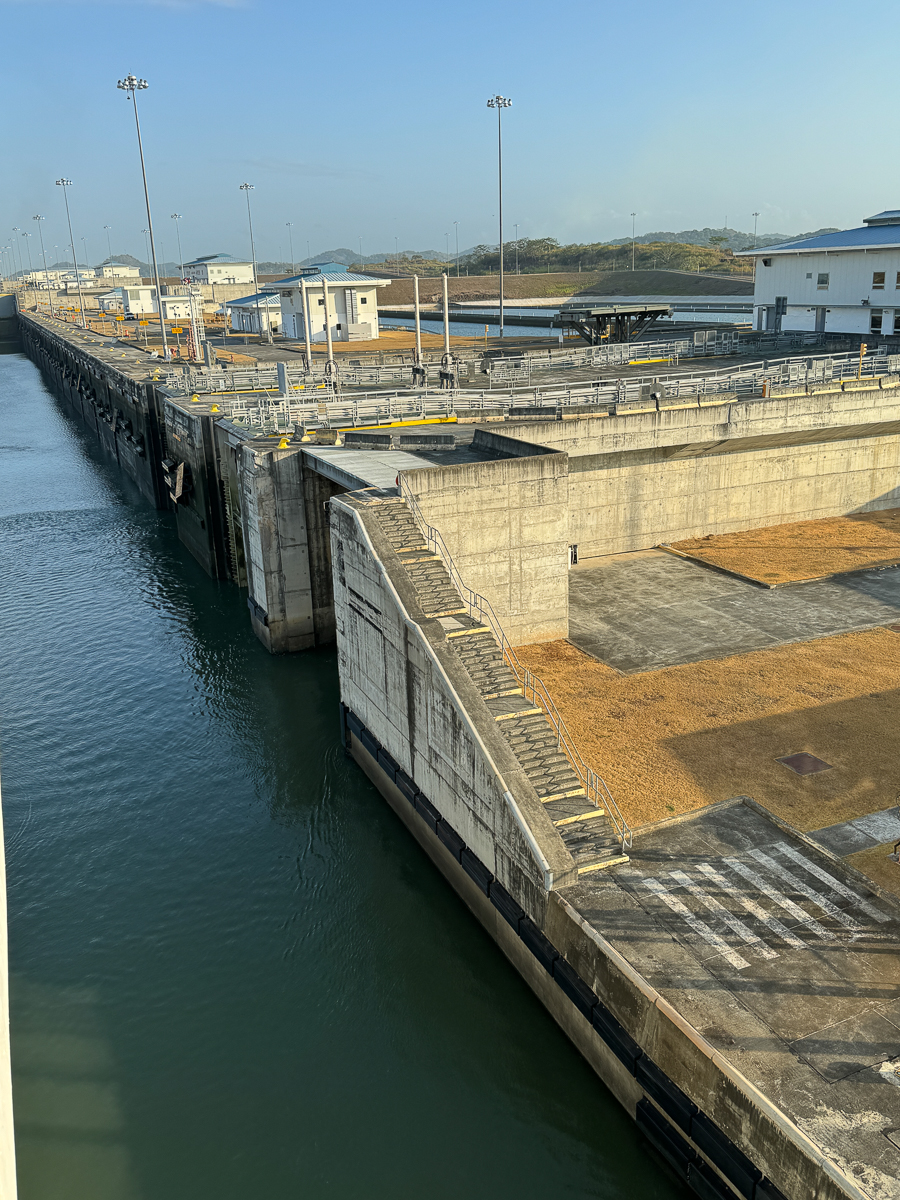
The lock gates come out of the side of the locks .
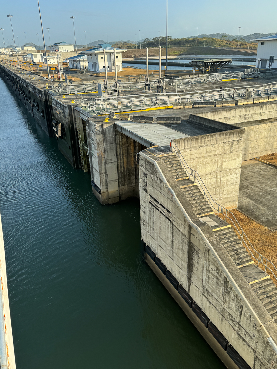
The gates float but still weigh in at a few hundred tons.
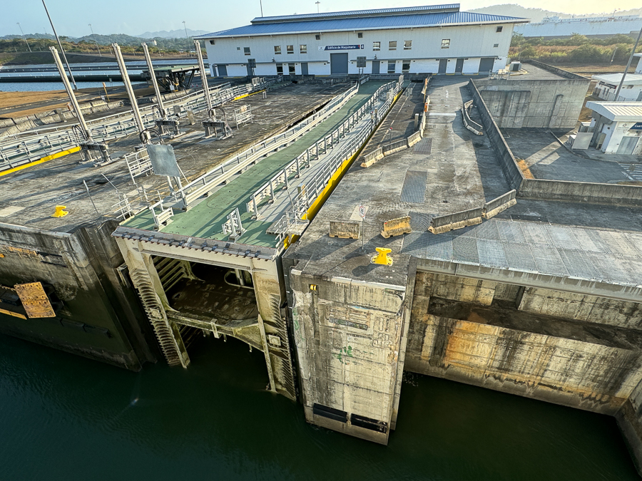
The gates are about 15 feet wide and were built in Italy and delivered to Panama.
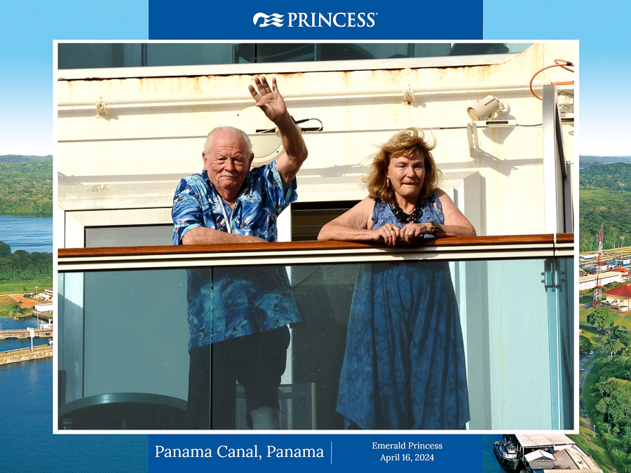
Pictures taken by the ships photographers from the land.
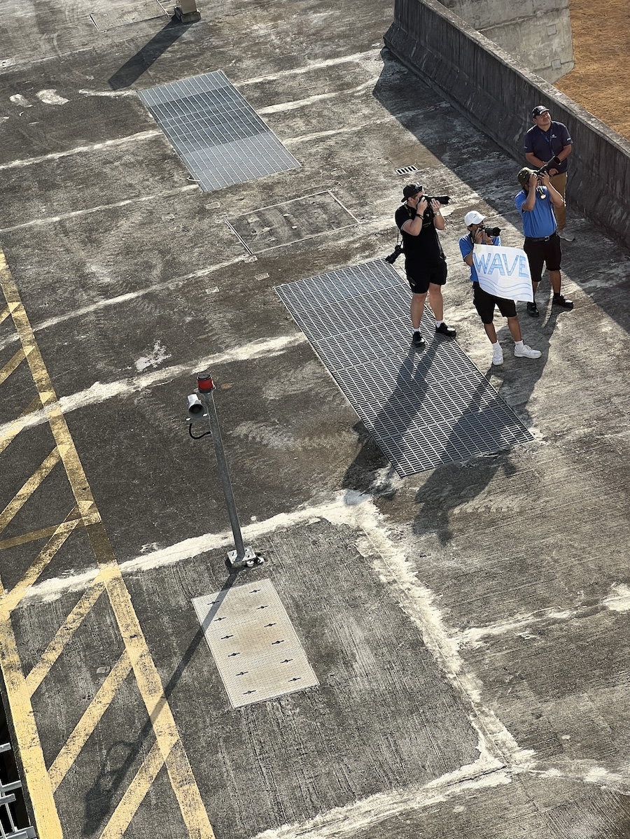
Snap snap snap!
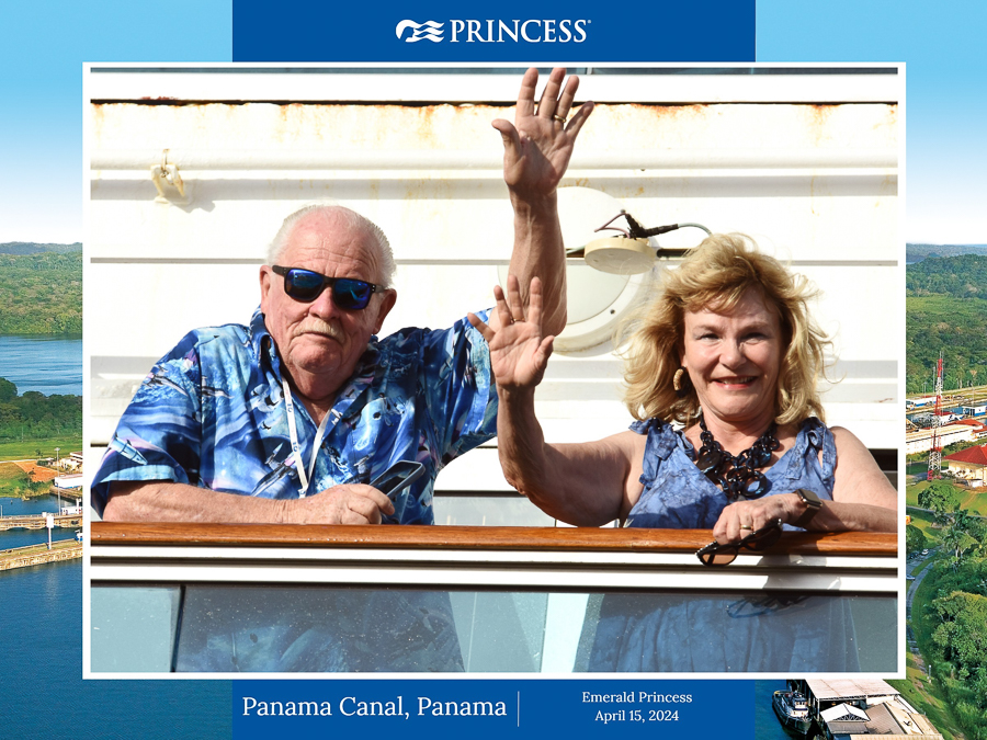
They liked us waving.
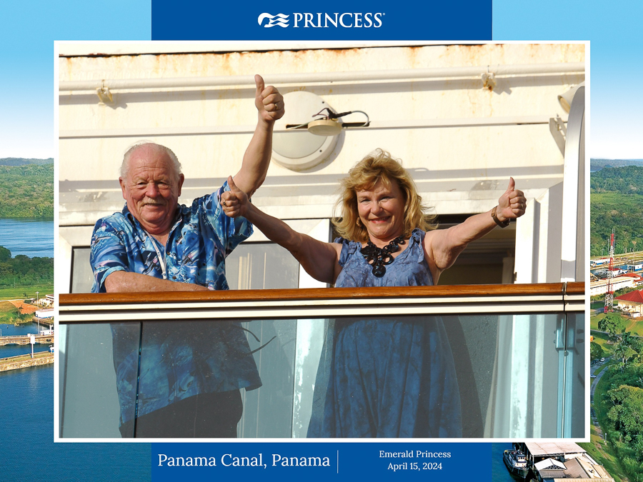
Thumbs up!
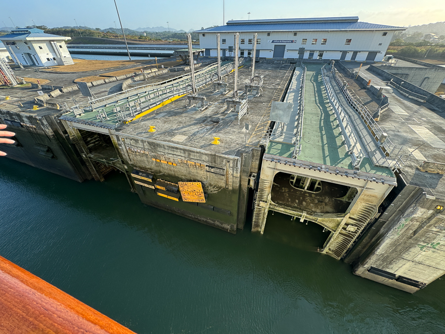
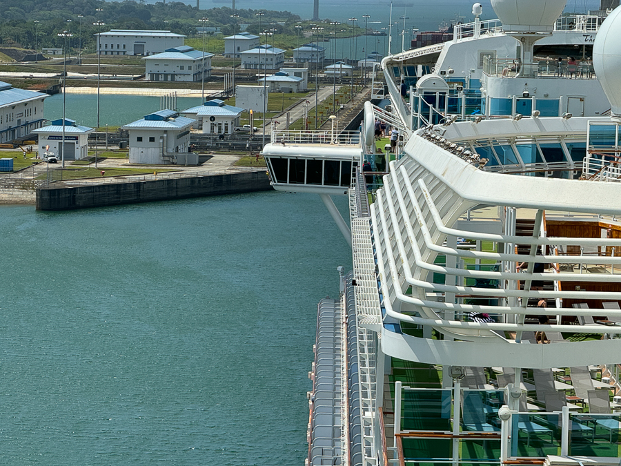
The lock houses look brand new and require little maintenance.
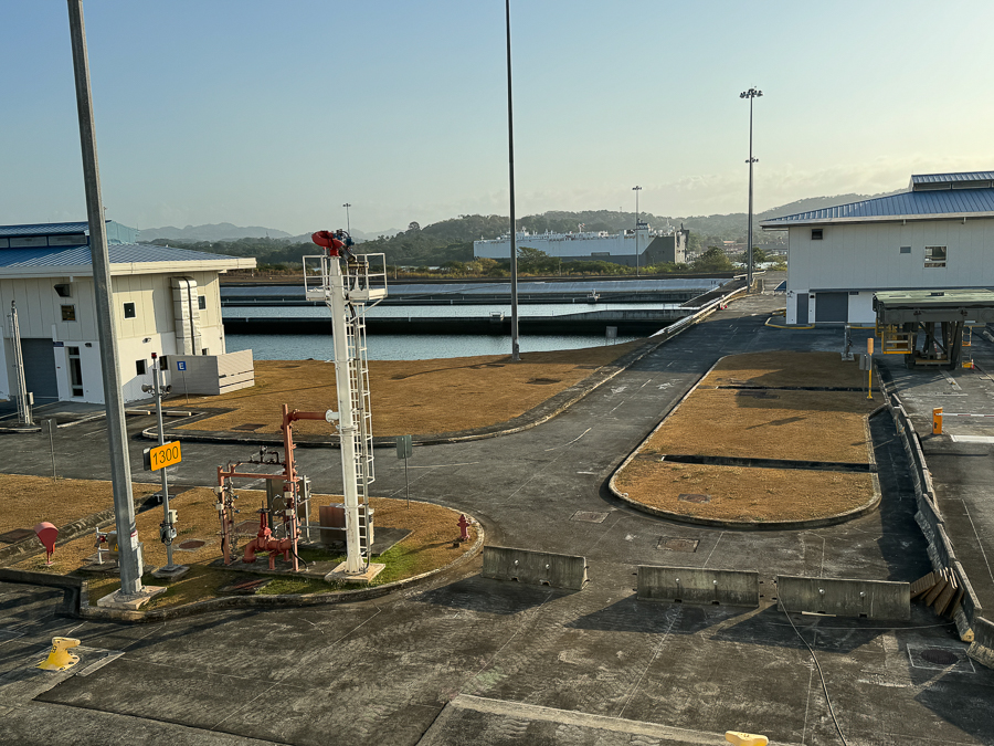
The grass was brown because of the recent drought.
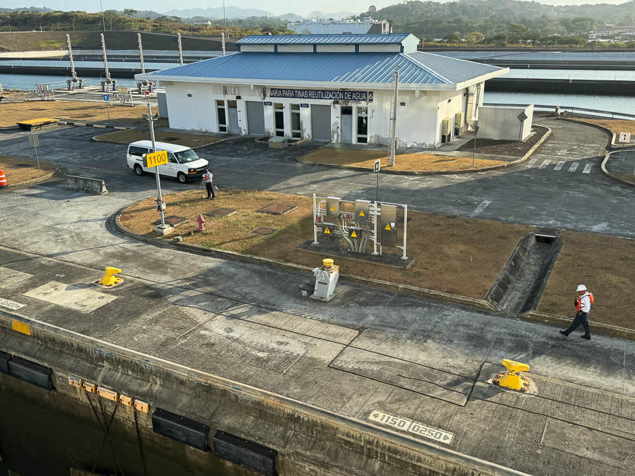
Six men on a side move the ships through;
their job is to center the ship in the lock via cables.
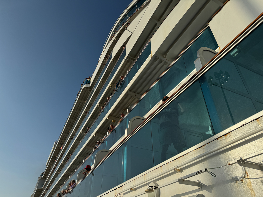
We had a grand view of the activities.
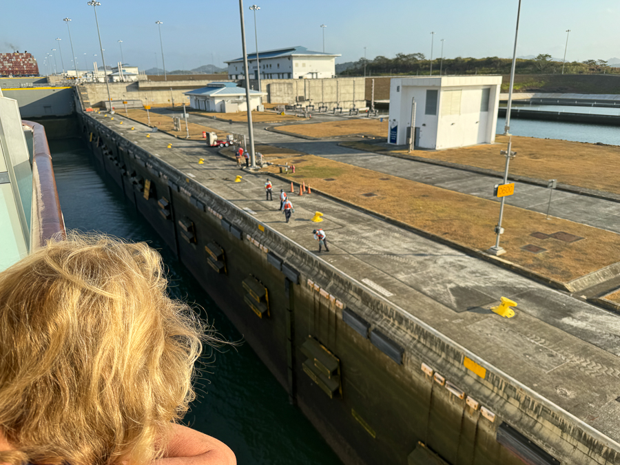
The locks are 1400 feet long and 130+ feet wide; they handle super large ships!
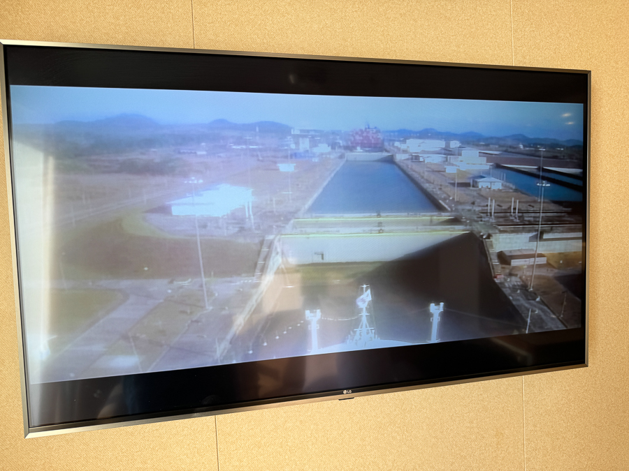
We could watch via the closed circuit TV monitors.
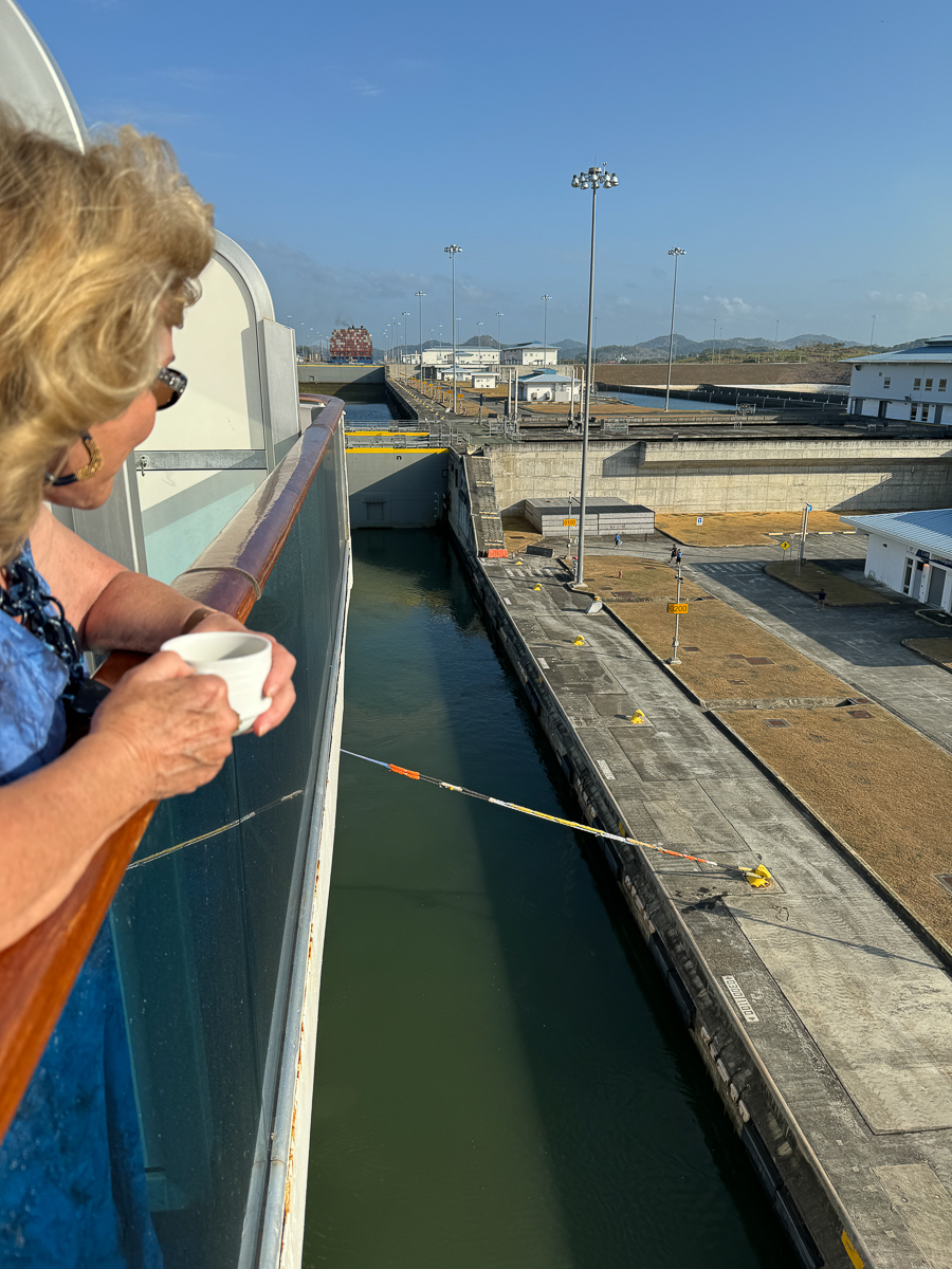
We preferred drinking our coffee from our suite.
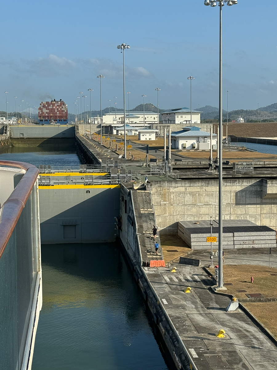
The gates are about to open.
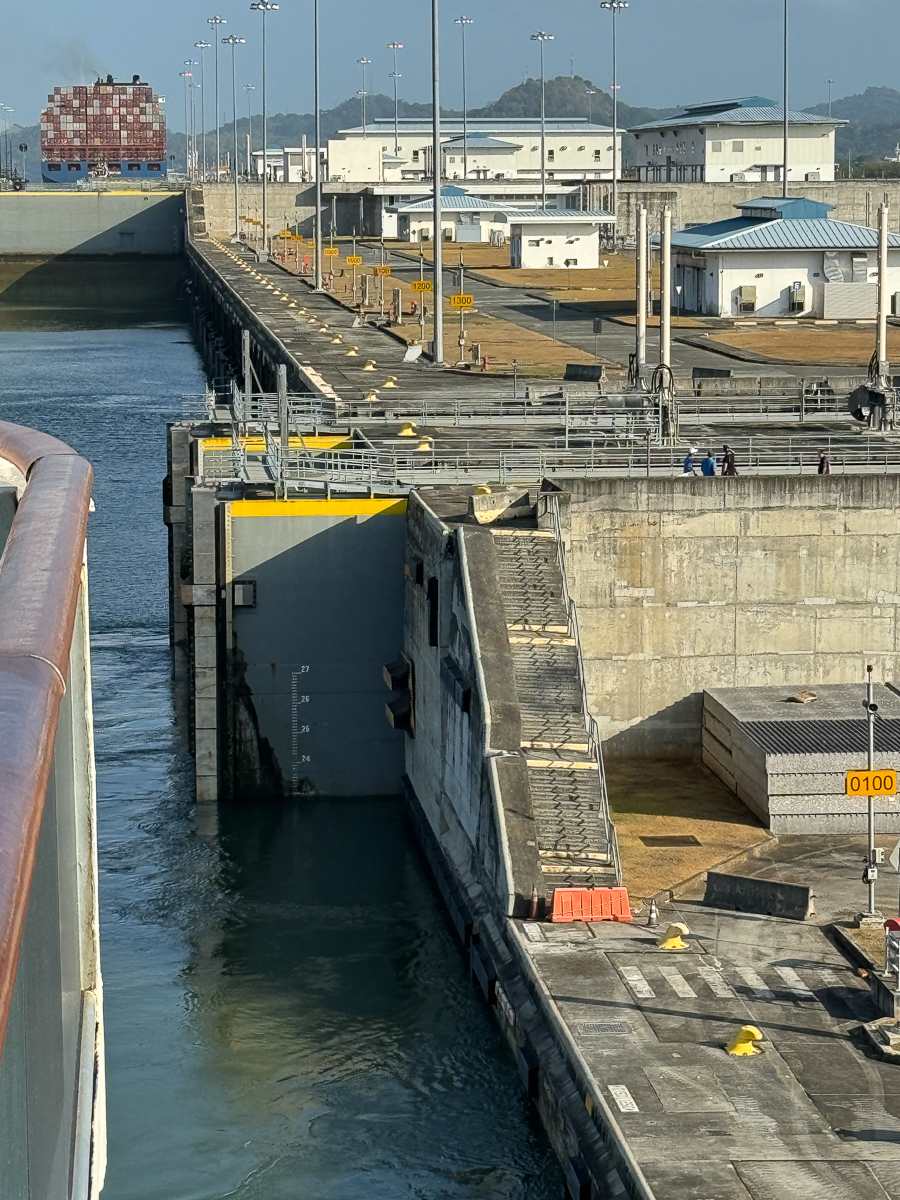
Now the locks have water of equal height.
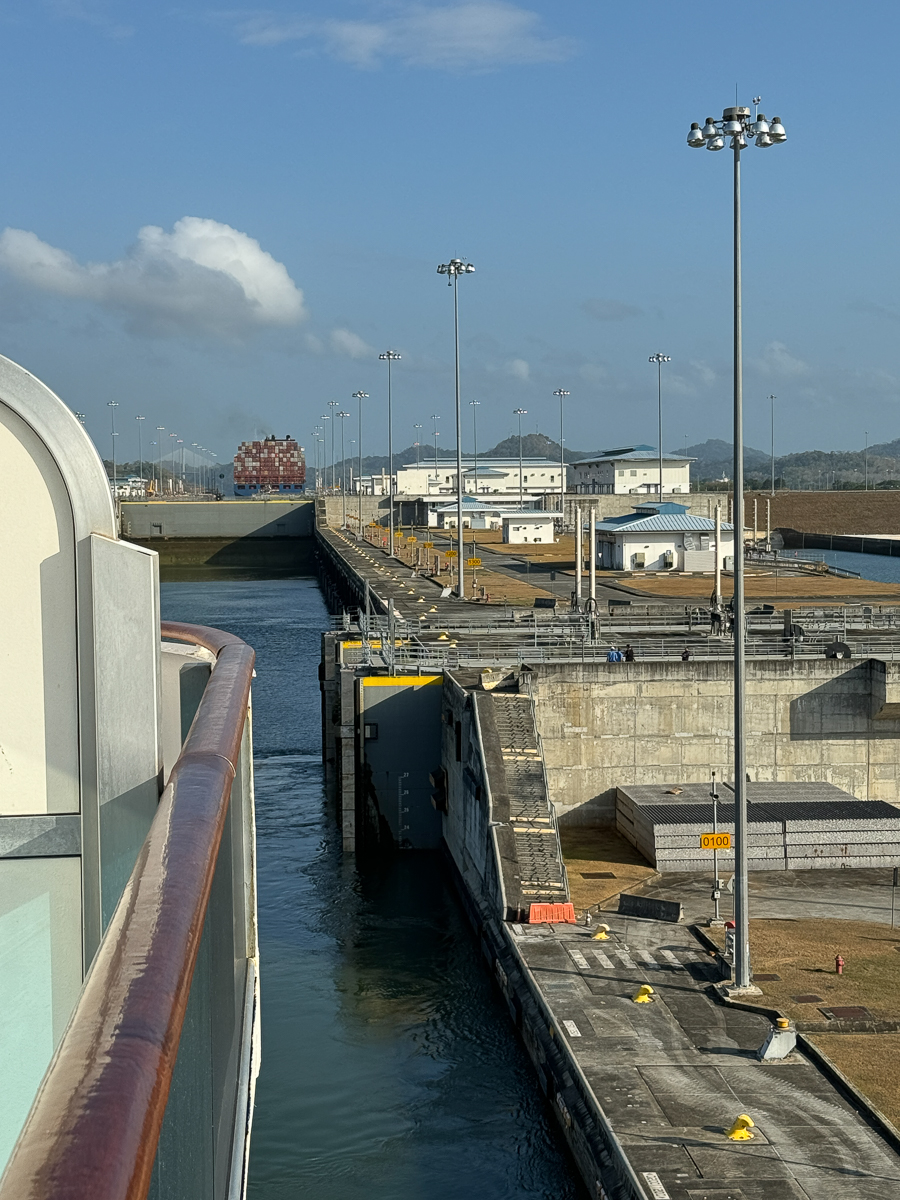
As soon as we pass into the next lock, it will be filled and we will raise another 30 feet!
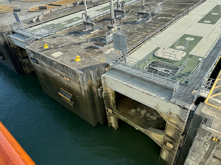
The gates operate quietly and efficiently.

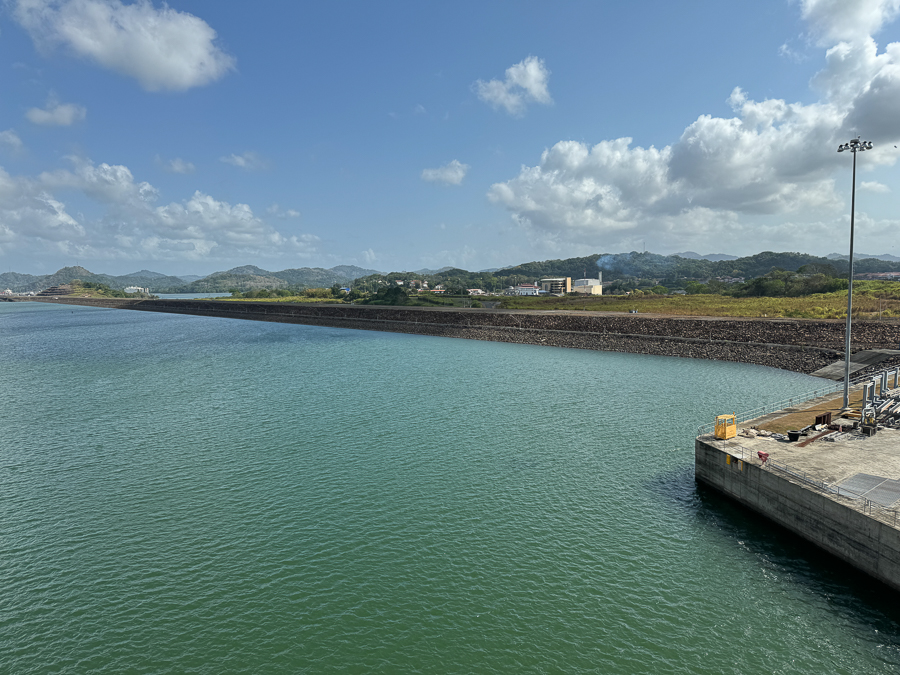
The sailing is quiet and we make good time. Ships pass us by going the other direction.
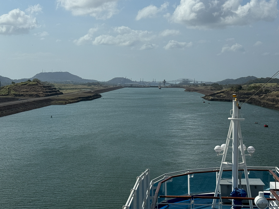
We are now 85' above sea level!
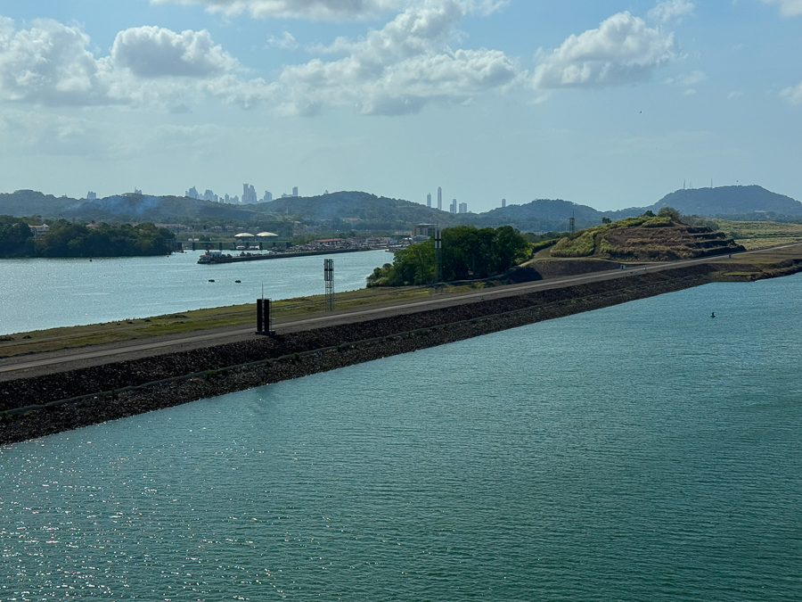
We are in the original canal.
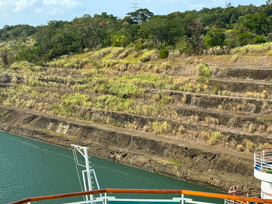
The sides are the original from 100+ years ago.
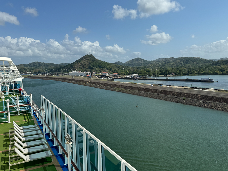
There are a few small cities and a lot of maintenance facilities along the canal.
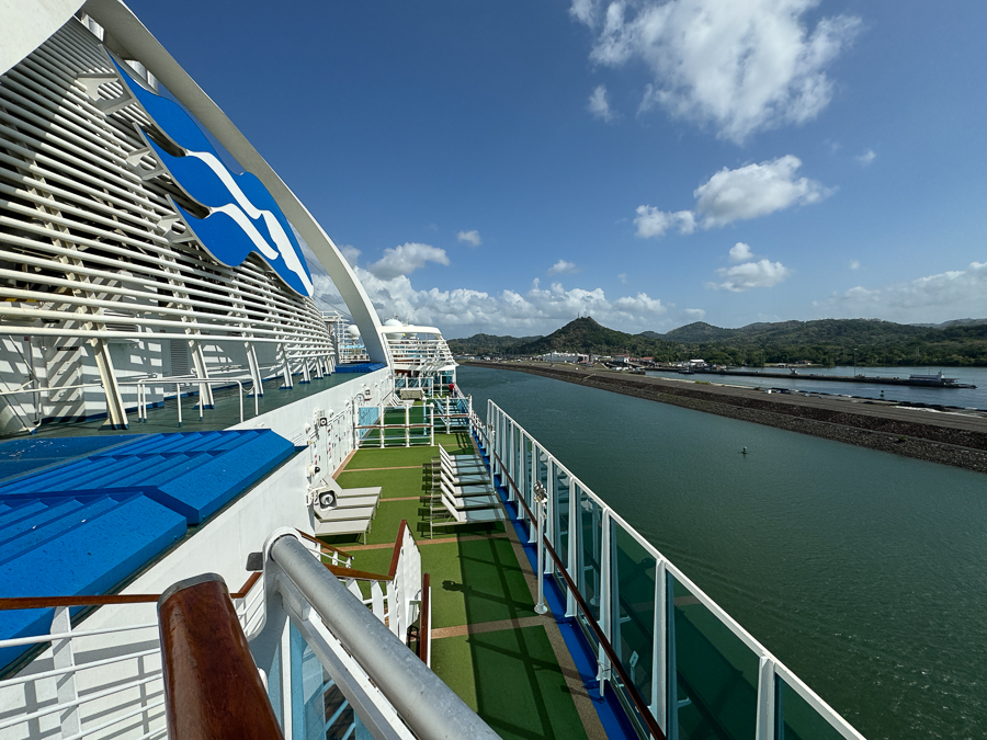
About 1/3 rd of the costs of the canal are maintenance
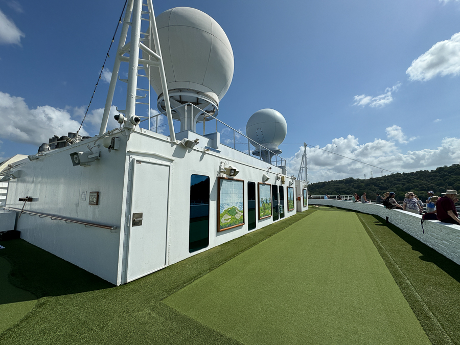
We are nineteen floors up now awaiting the next bridge!

Watch out below!

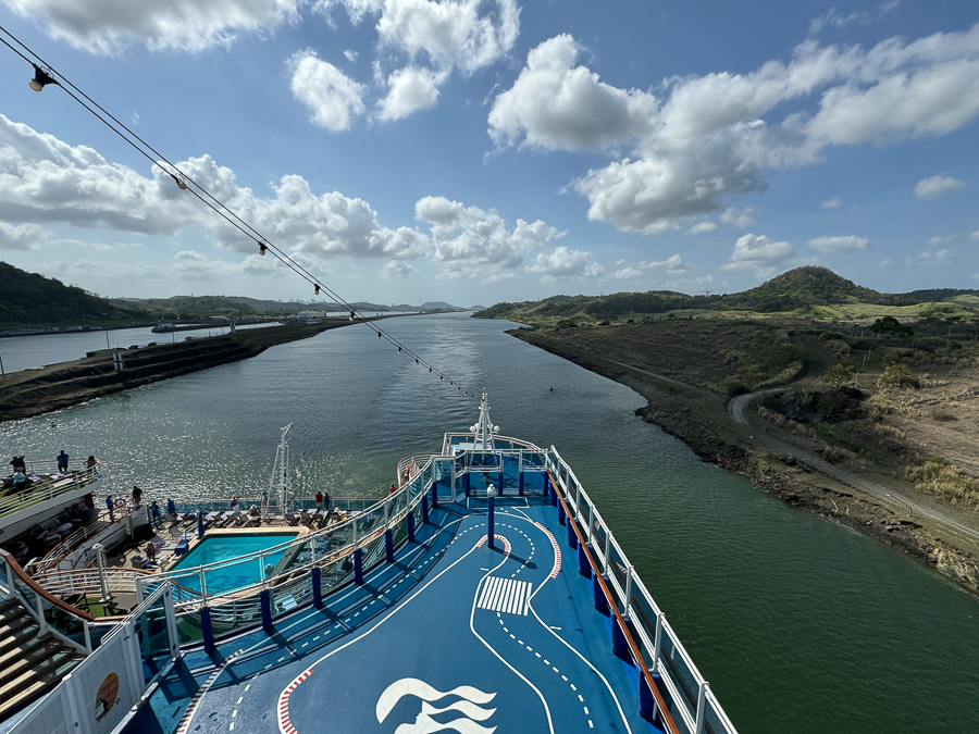
The 19th floor is the sports deck complete with putting green, tennis court and a jogging area!
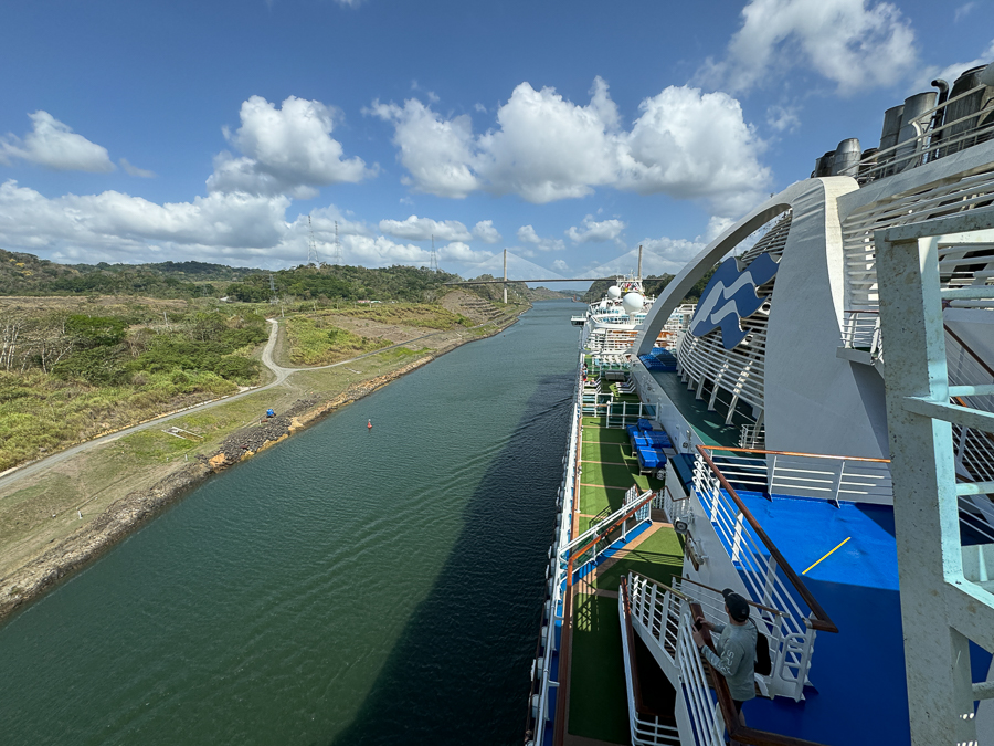
Here comes the next bridge.
Did You Know? - The Centennial Bridge, or Puente Centenario in Spanish, is a bridge that crosses the Panama Canal and is the second permanent crossing of the canal. It opened in 2004 and has six lanes of traffic, three in each direction. The bridge is 1,380 feet long and 262 feet high. It's the world's third-longest concrete cable-stayed span and the longest concrete cable-stayed bridge span in the Americas.
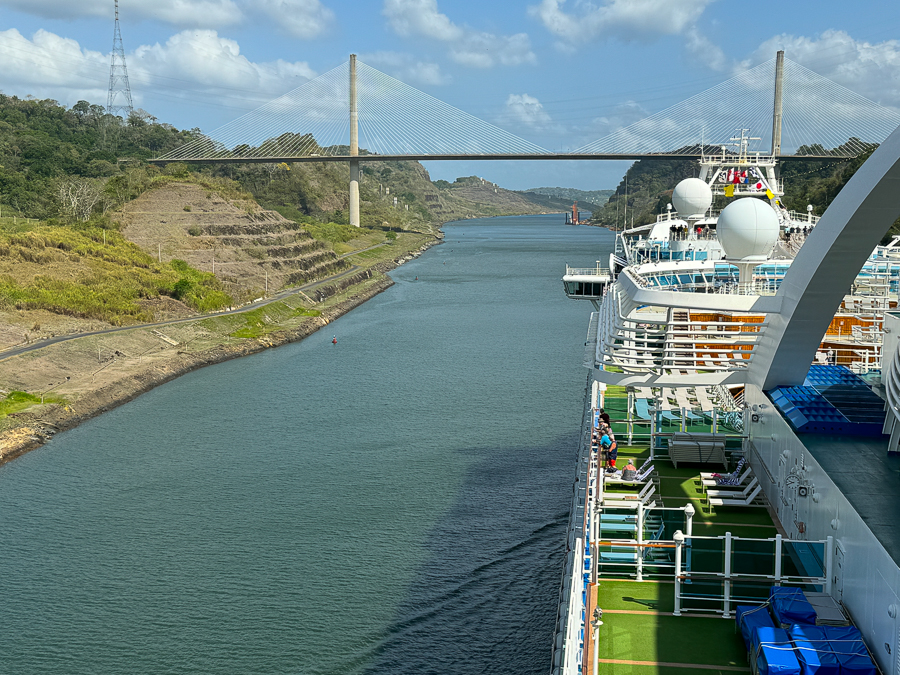
This one is easy!
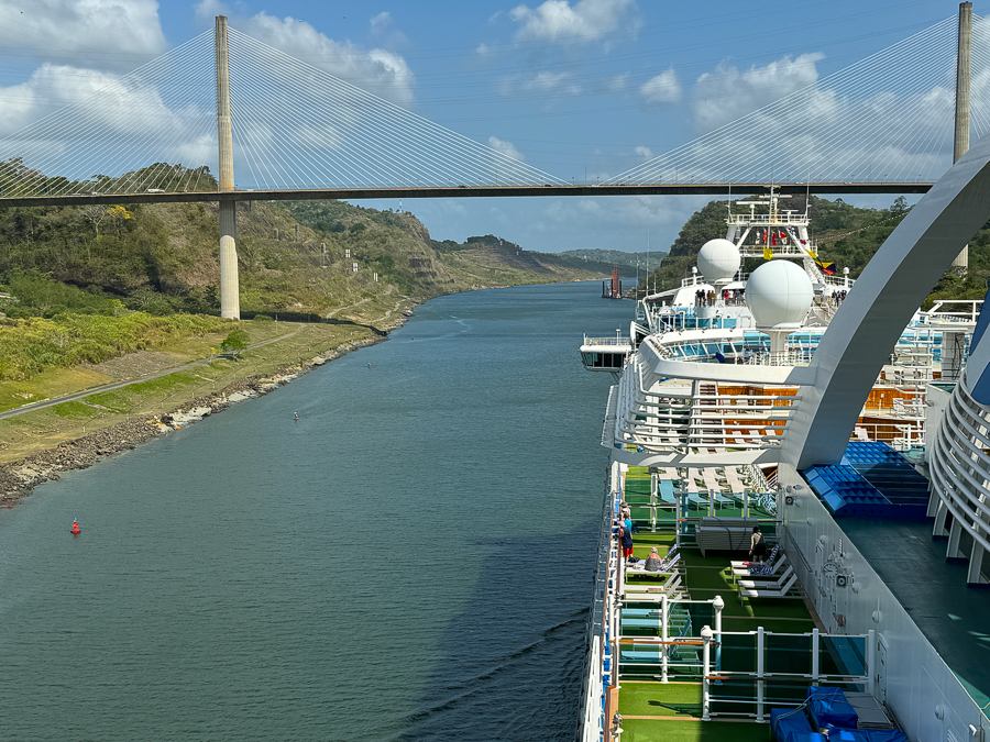
We zipped right under it.
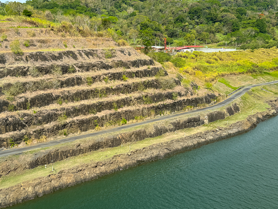
The original rock walls still exist!
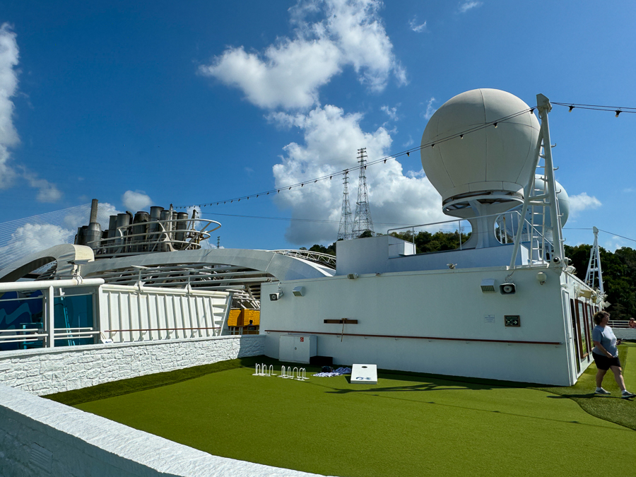
Golf anyone?
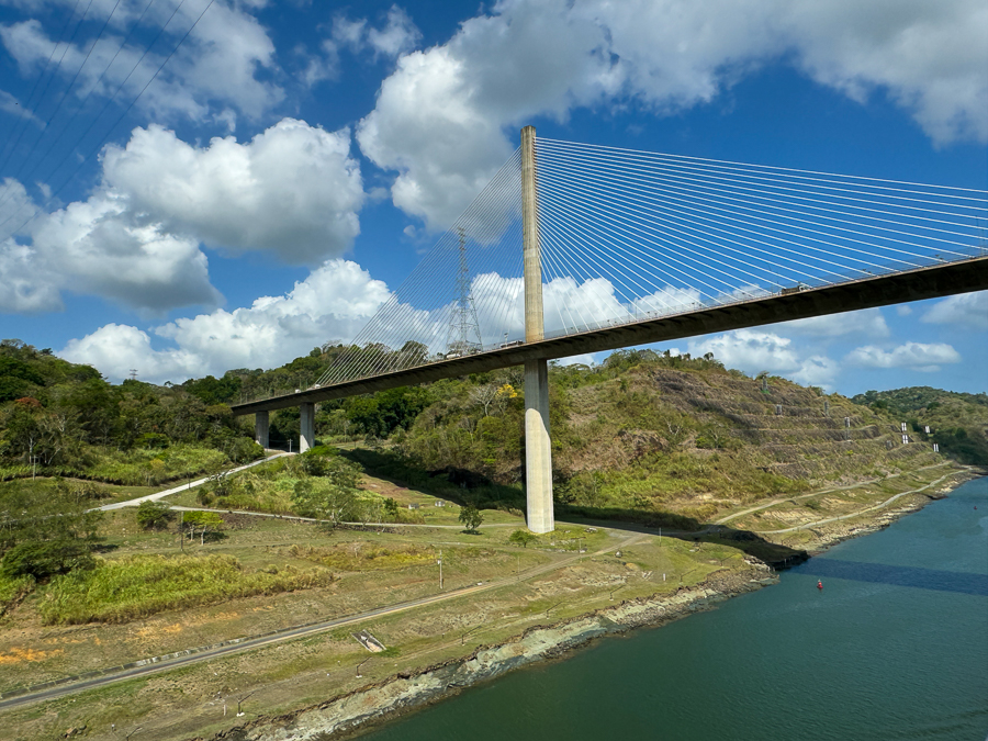
It is a beautiful bridge/
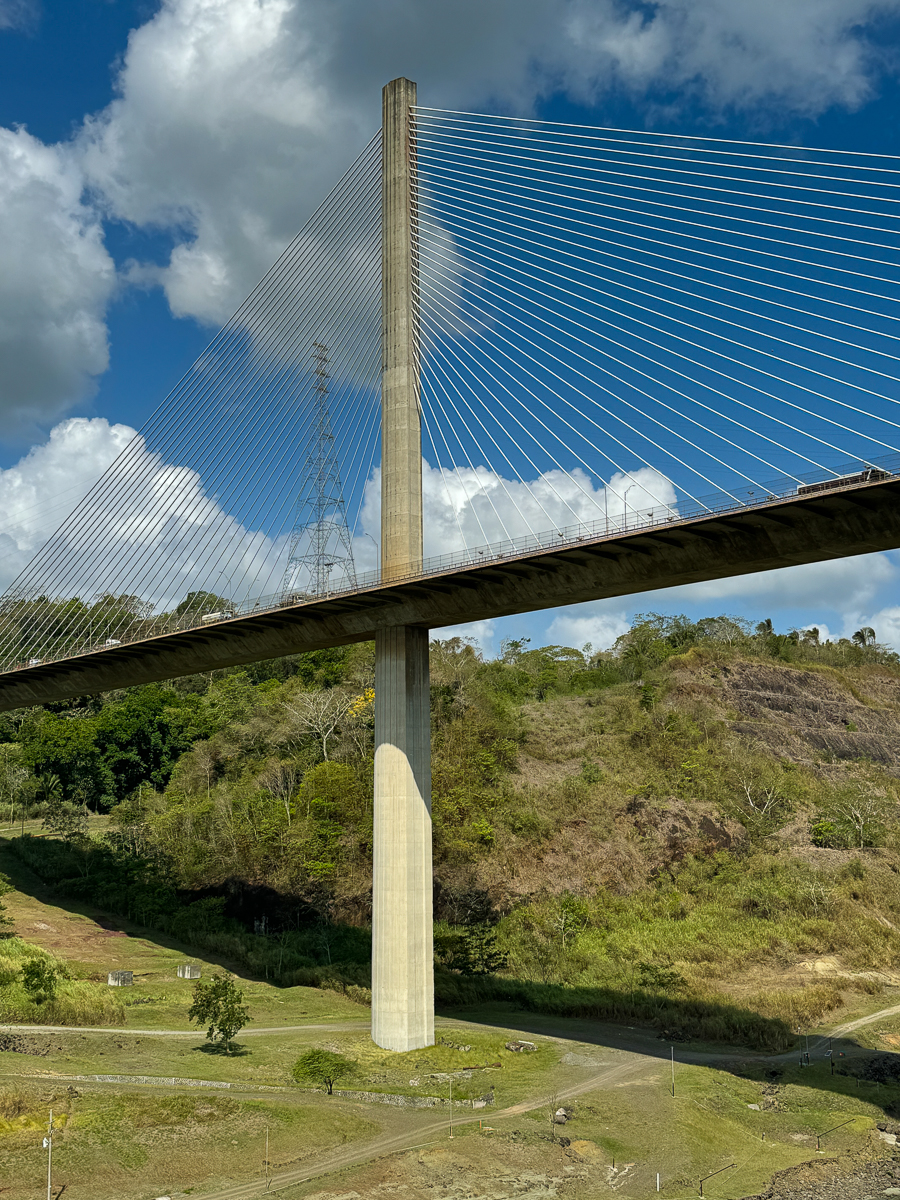
Here we go!
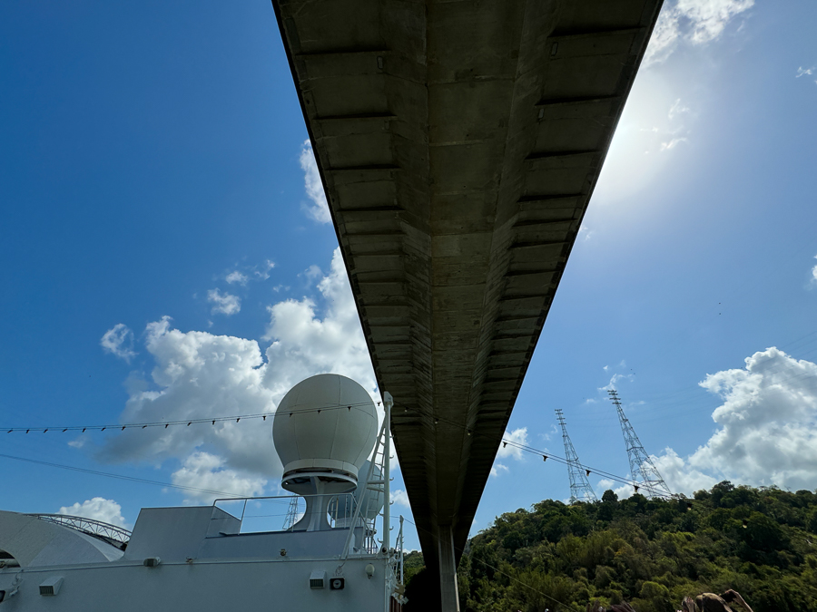
No scraping sounds, yeah!
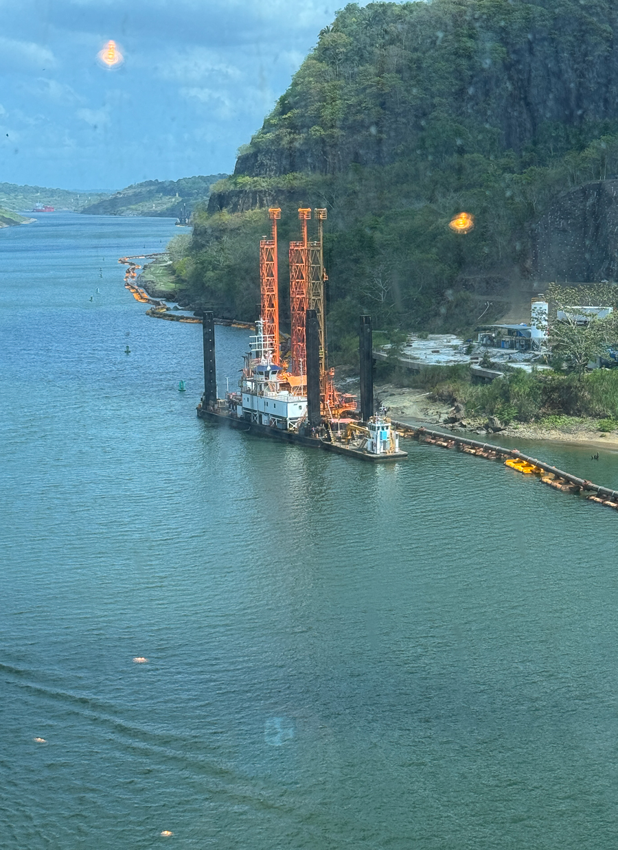
Dredging goes on 24/7
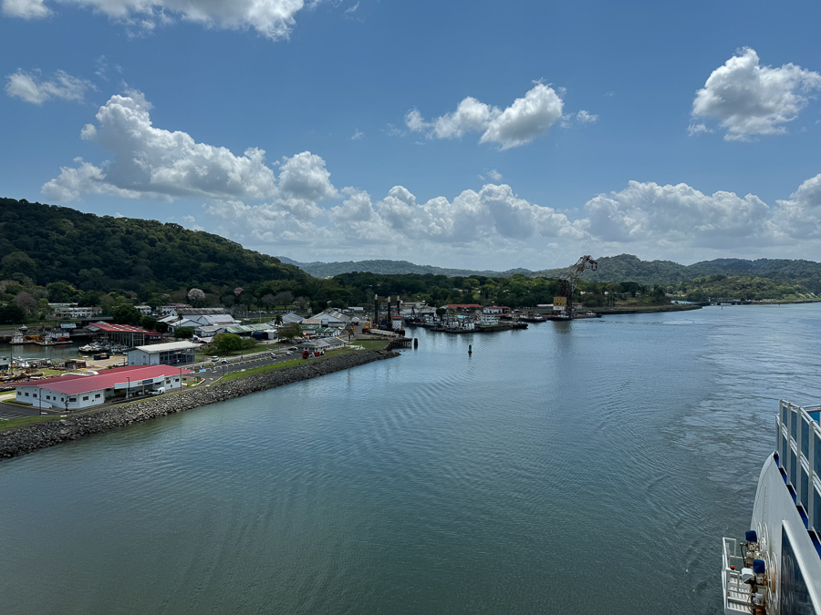
This is the dredging headquarters for the canal.
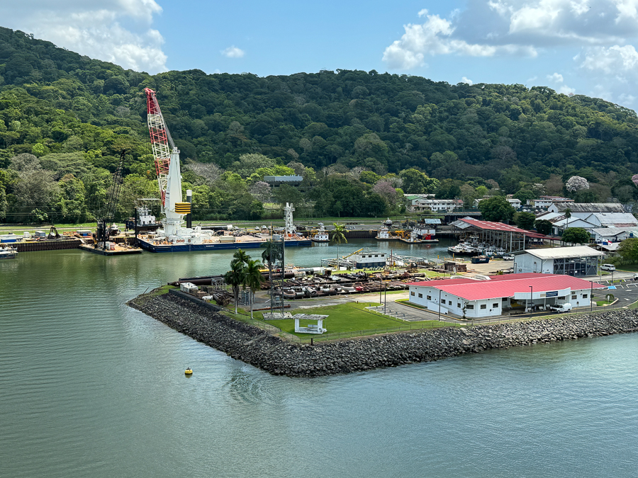
The cranes can do amazing work.
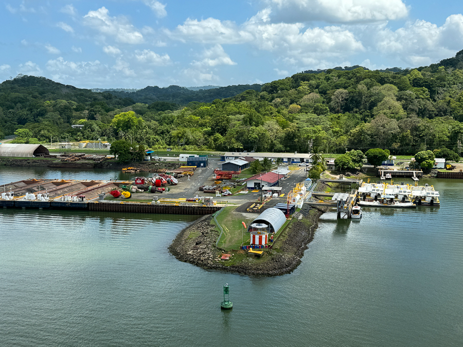
The city houses 500 people, mostly workers on the dredges.

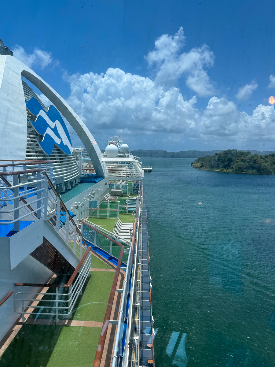
Lake Gatun ahead.
Did You Know? - Created in 1913 by damming the Chagres River, Gatun Lake is a key part of the Panama Canal, providing the millions of litres of water necessary to operate its locks each time a ship passes through.
When constructed, Gatun Lake was the largest artificial lake in the world. The impassable rainforest around the lake has been the best defense of the Panama Canal. Today these areas remain practically unscathed by human interference and are one of the few accessible areas where various native Central American animal and plant species can be observed undisturbed in their natural habitat.
Geography Gatun Lake covers about 470 km2 (180 sq mi). The largest island in the lake is Barro Colorado Island, which was established for scientific study when the lake was formed, and is operated by the Smithsonian Institution. Many important scientific and biological discoveries of the tropical animal and plant kingdom originated here.
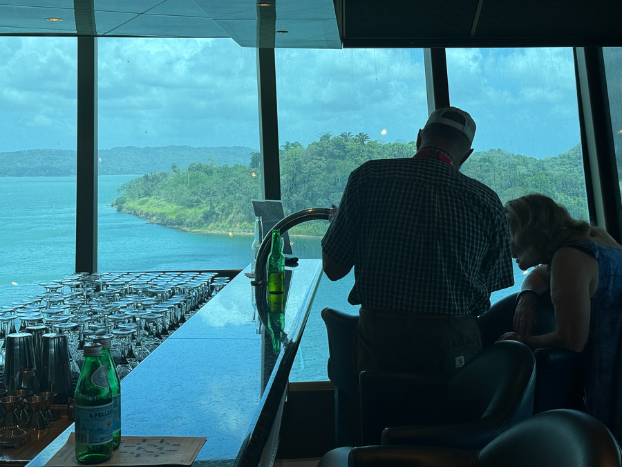
One of the passengers had some special equipment.
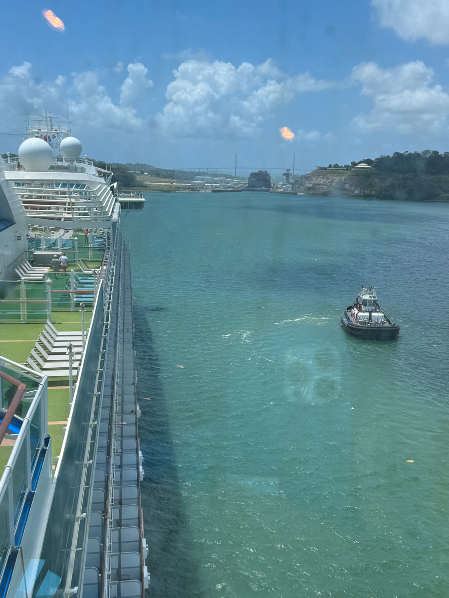
The Atlantic Locks are ahead.
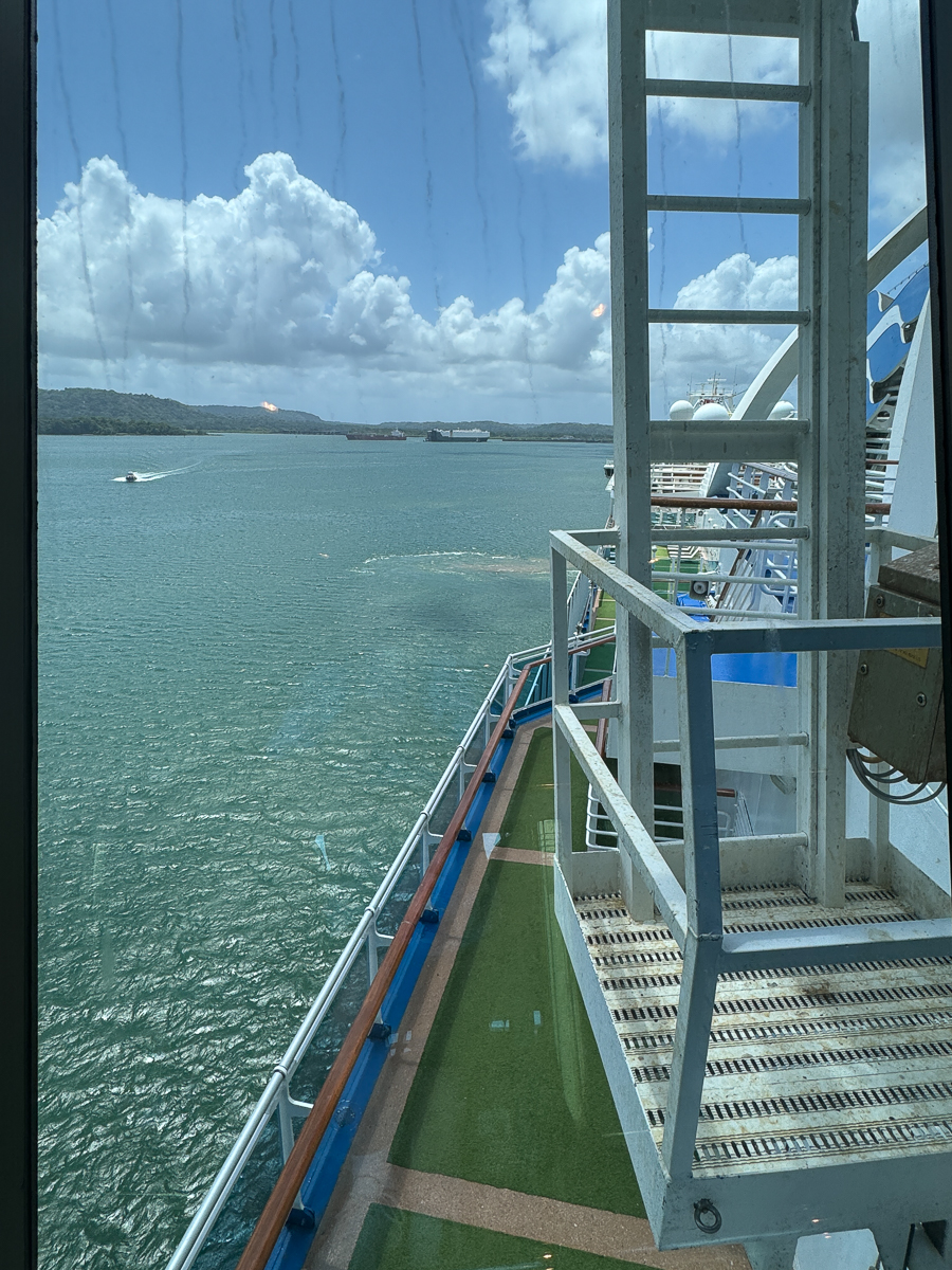
The tugs come to assist.
A huge cargo ship is in front of us.
Here we go!
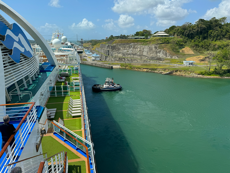
There was quite a breeze so the tugs were standing by just in case.
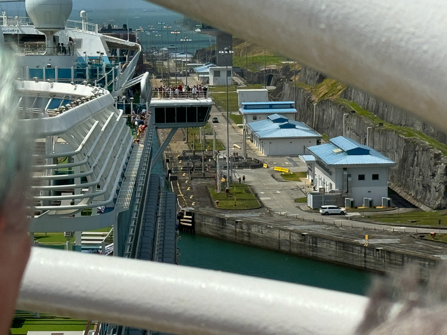
We squeeze into the lock.
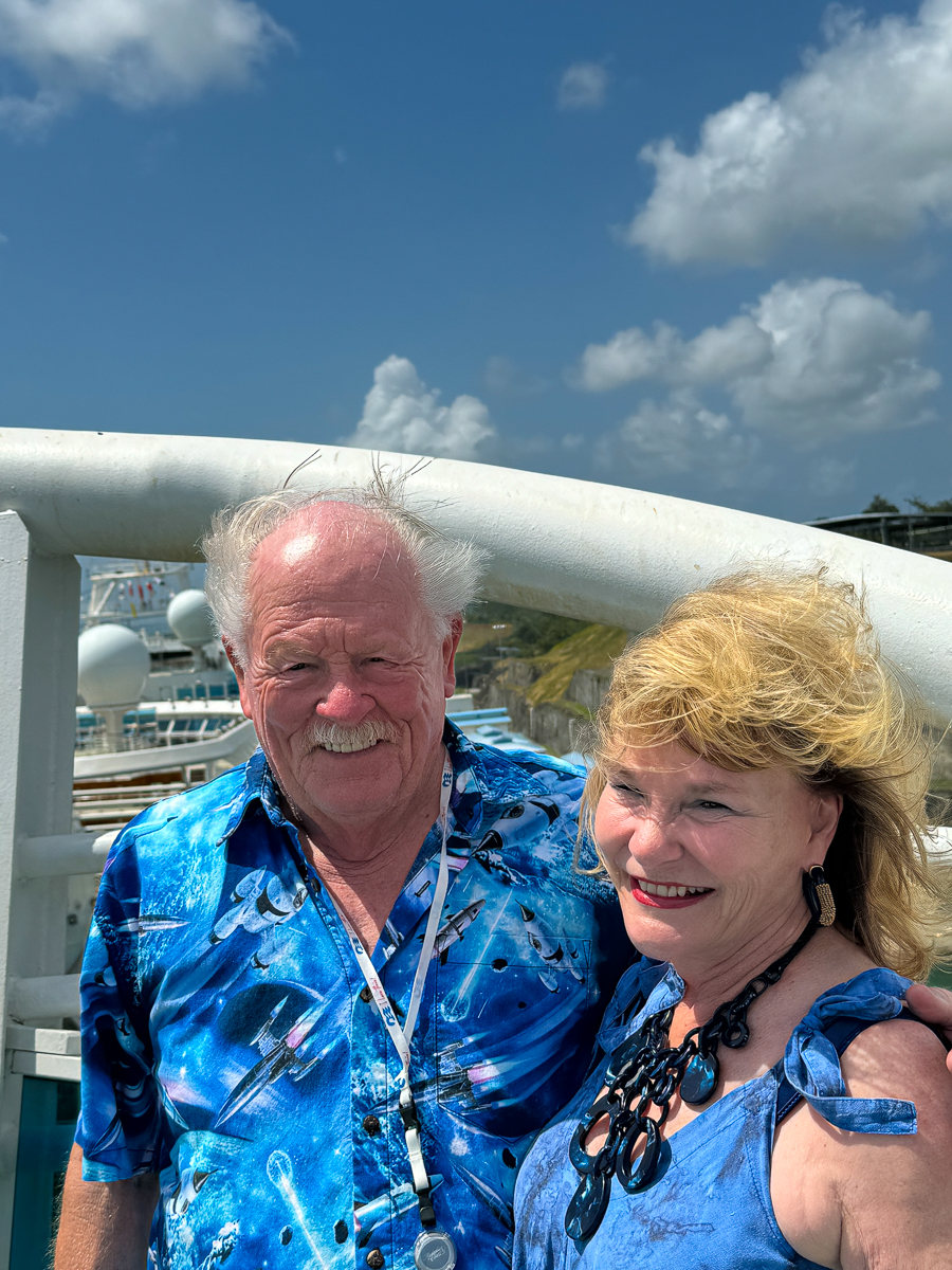
Did I say there was a breeze?
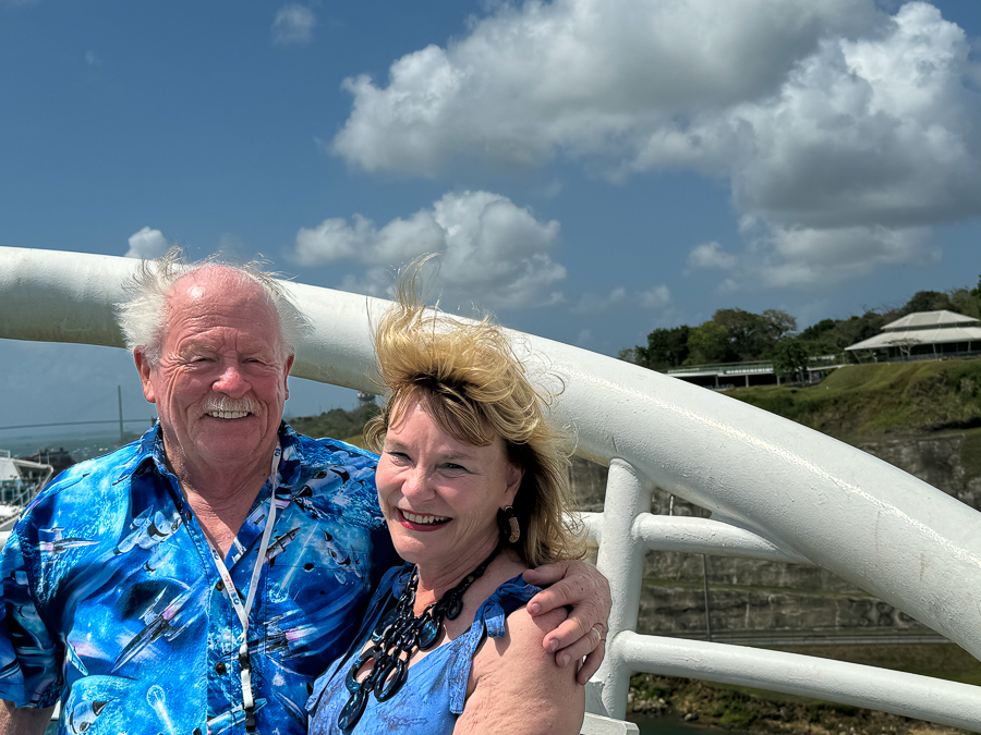
It almost blew my toupee away!
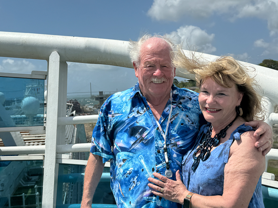
Having fun with my best friend.

She is listening for the scraping sounds.
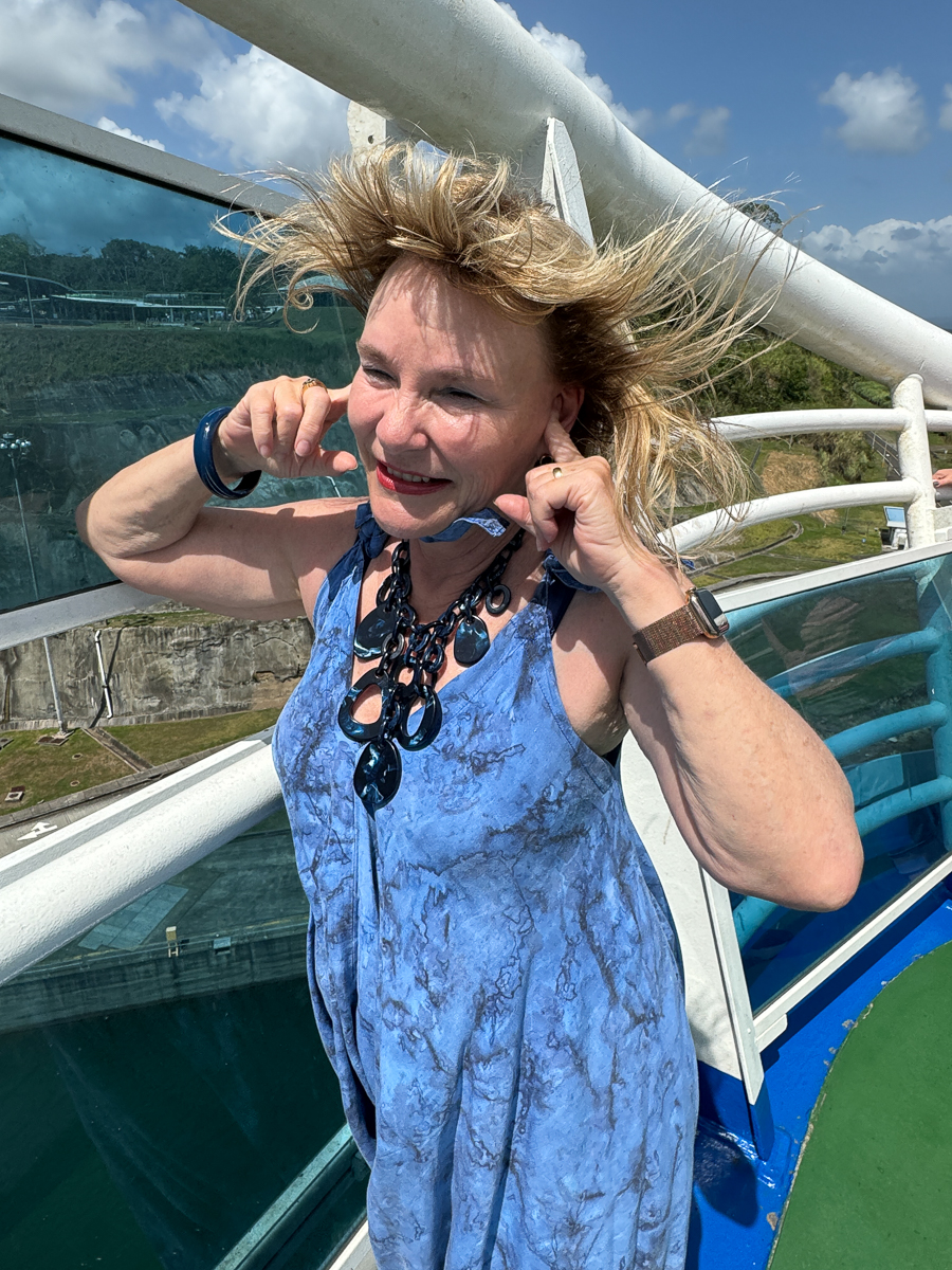
This is what Mary calls a "Bad Hair Day!"
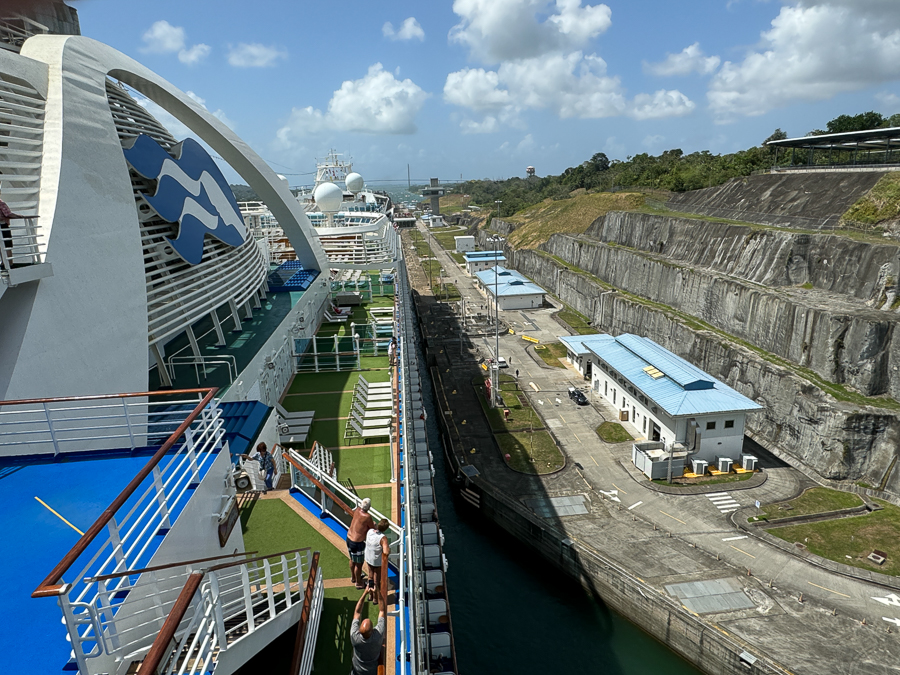
We are almost in the lock.
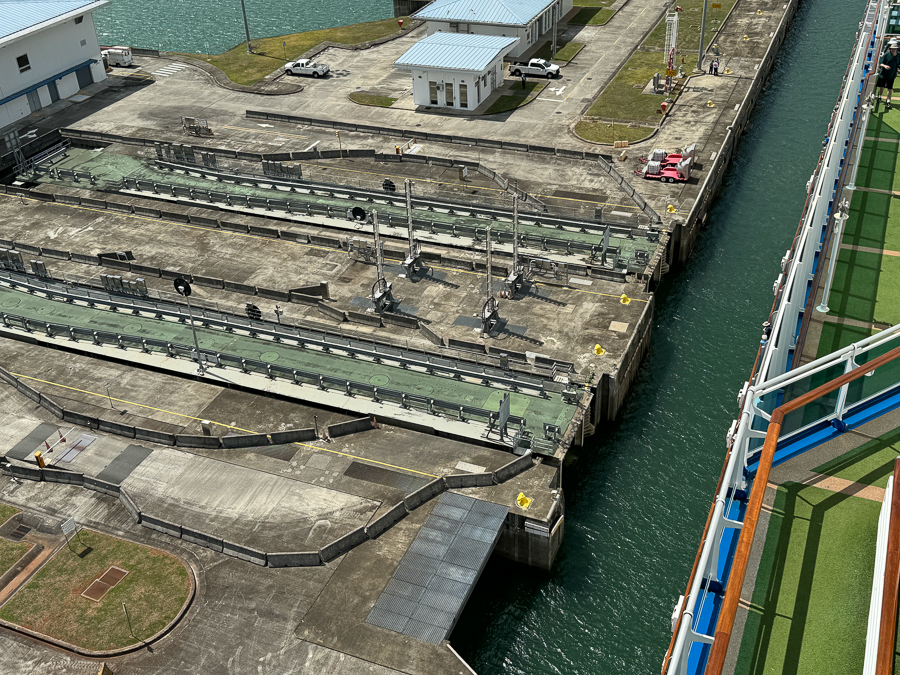
The gates are ready to close.
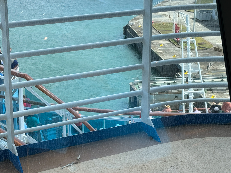
They close behind us and lower us about 30 feet.
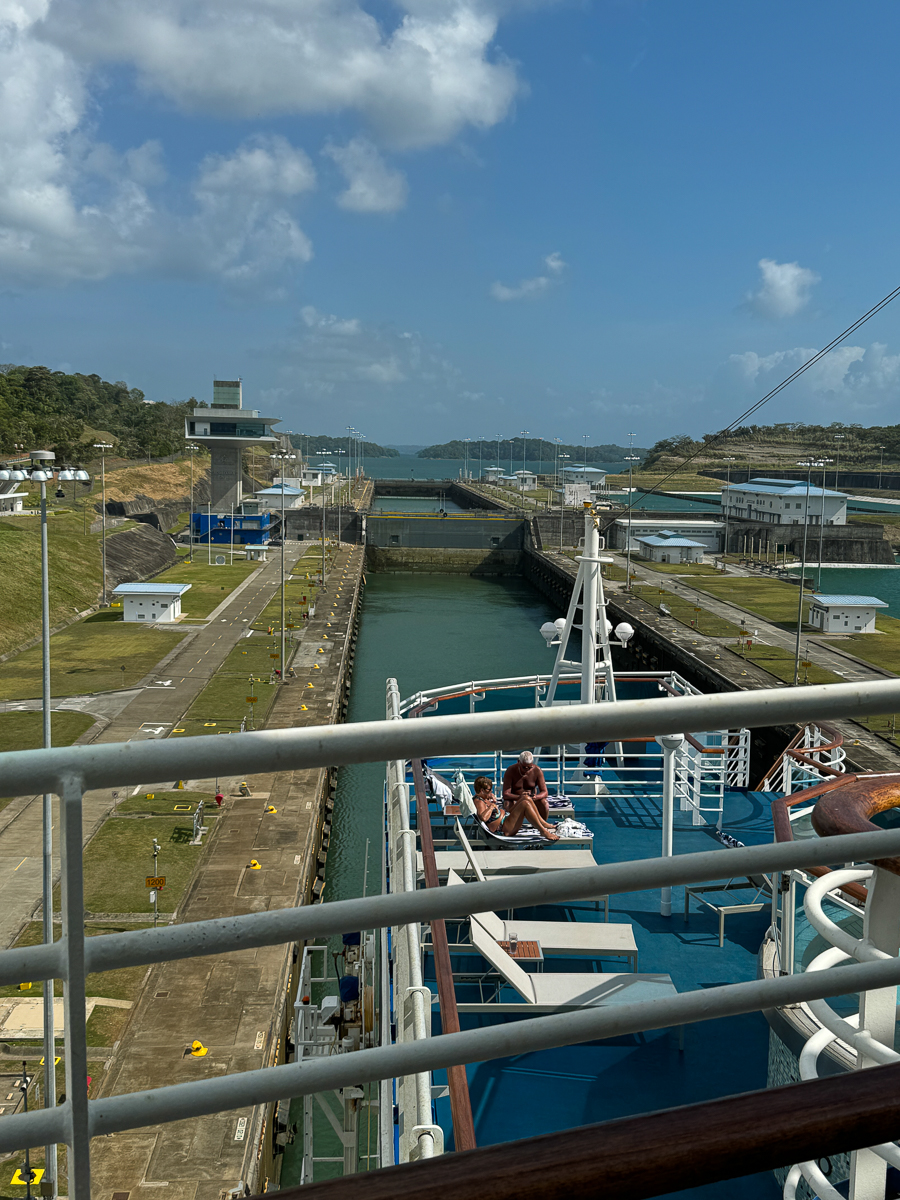
Now we are in lock #2 (the middle lock)
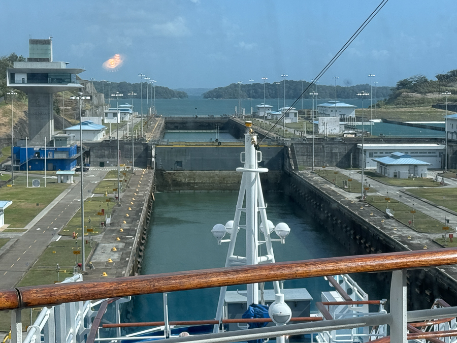
The level is dropping pretty quick!
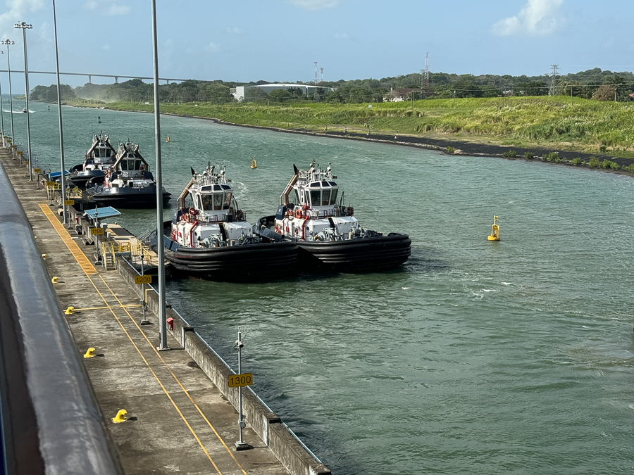
The tugs are ready!
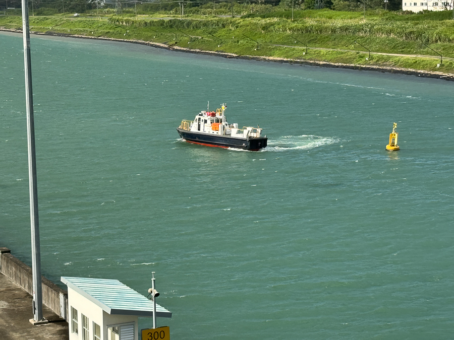
The canal pilot leaves our ship and heads home.
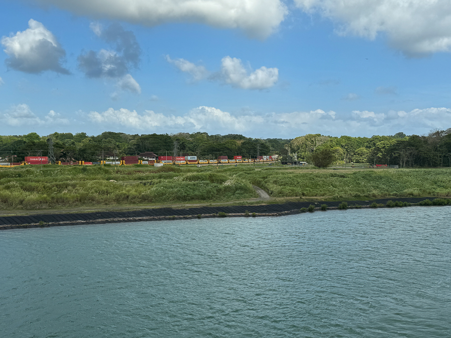
Some freight travels by train to avoid the canal costs.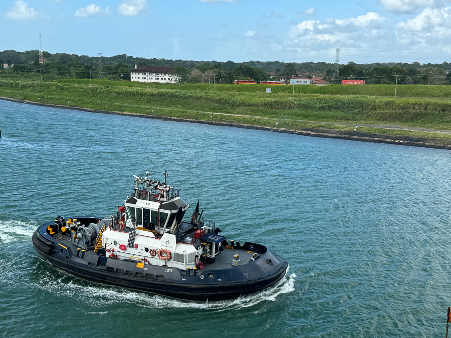
It takes longer to load and unload but someone is looking at the costs!
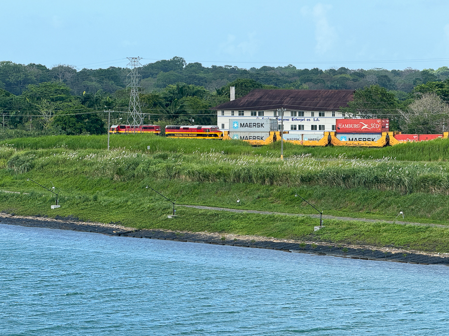
The trains speeds right along.
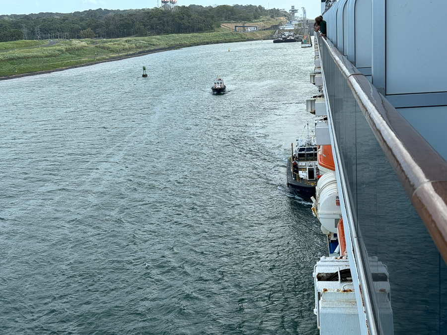
We are almost in the Atlantic now.
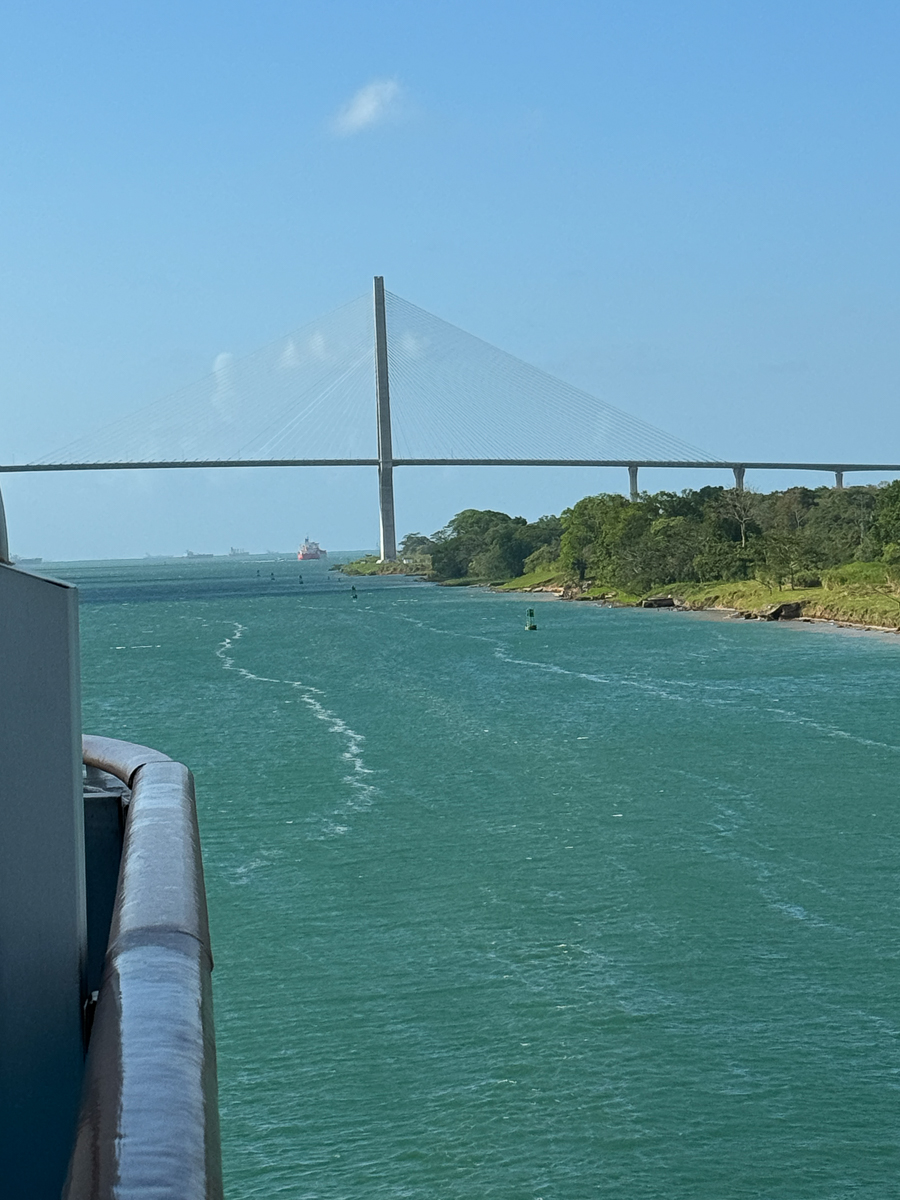
The last bridge.
Did You Know? - The Atlantic Bridge, or Puente Atlántico in Spanish, is a concrete road bridge that crosses the Atlantic entrance to the Panama Canal in Colón, Panama. It's the third bridge to cross the canal, after the Centennial Bridge and the Bridge of the Americas, which are on the Pacific side. The Atlantic Bridge was completed in 2019 and is 10,108 ft (3,081 m) long, with a main span of 1,738 ft (530 m) and a minimum vertical clearance of 246 ft (75 m) above the canal. The bridge has two side spans of 750 ft (230 m) and east and west approaches of 3,524 ft (1,074 m) and 2,480 ft (756 m) respectively.
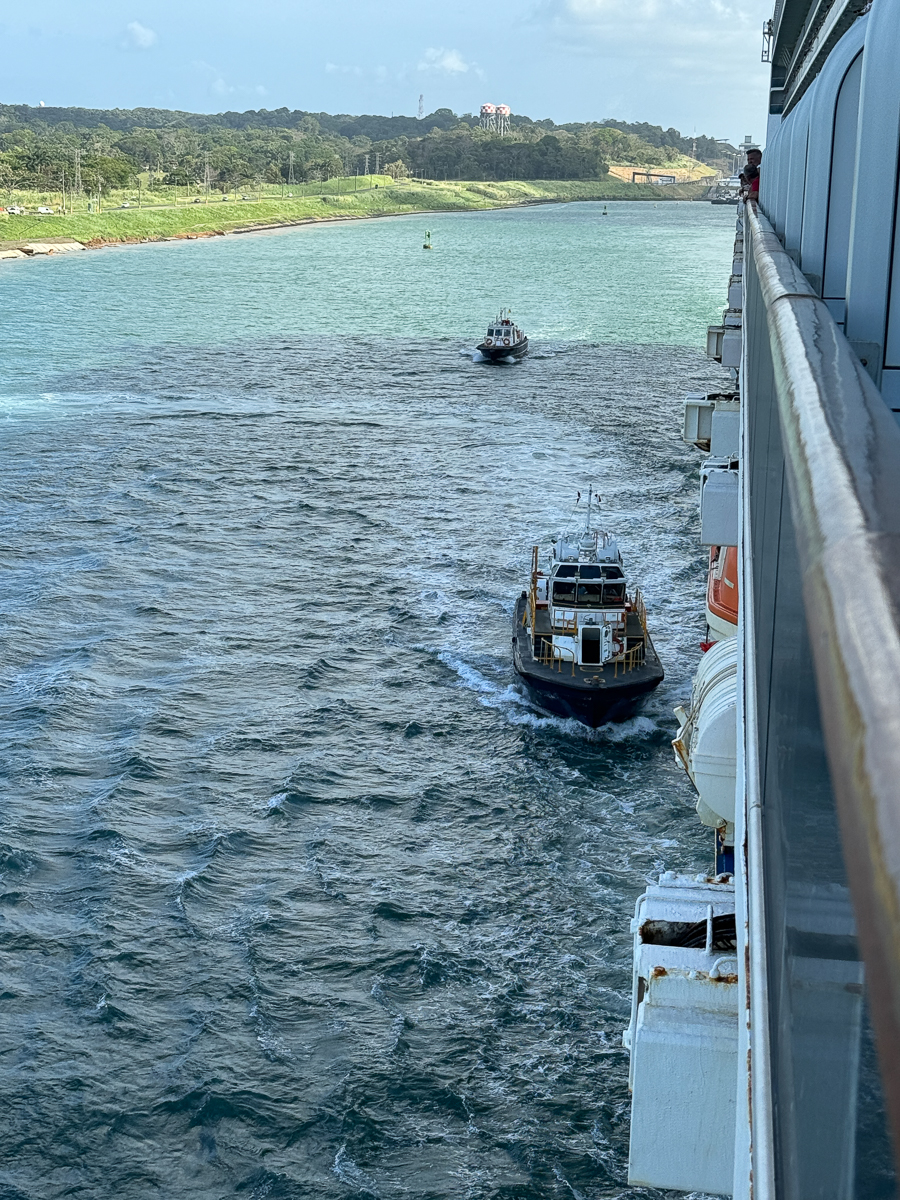
The pilots go to shore.
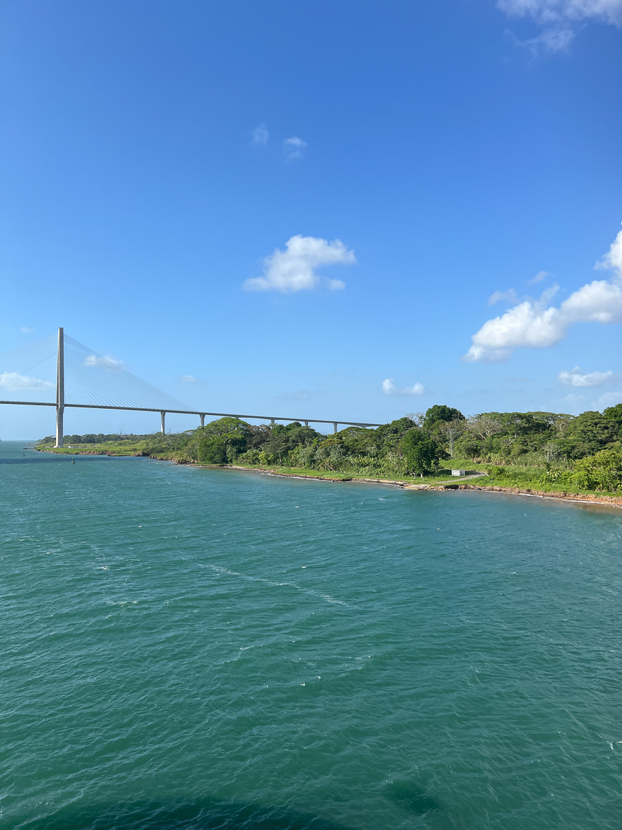
We had a magnificent view.
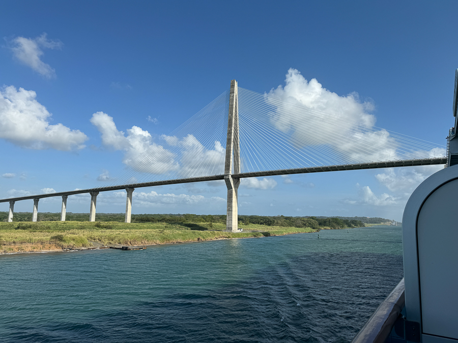
We are in the Caribbean Sea!


"I want a steak!"

Ask and thee shall receive.
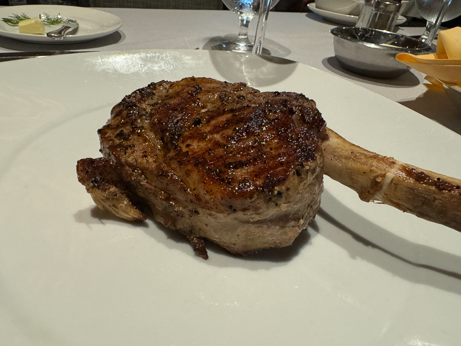 Fillet Mignon
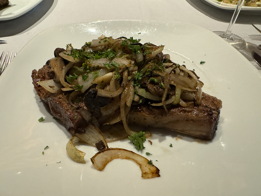
Ribeye!

With some shrimp on the side!

We had to have a scotch chaser (Well, at least Paul did)

Mary tried a sip!
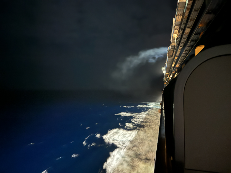
We took a stroll on the deck but it was pretty windy so we went to our room and crashed.

We got a text from Robin; the baby is doing well!

We thought we may need to do some laundry;
I gave Mary a little shove in that direction!

