Heading To The Coast ... (Page Five)
Day 15 10/03 Day 16 10/04 Day 17 10/05

Day 15 10/03
Day 16 10/04
Day 17 10/05
Return to Top
Summary: We leave "civilization behind" and go north in the newly refurbished motorhome! Our next target is Lake Almonor. Two hours farther north and in California.
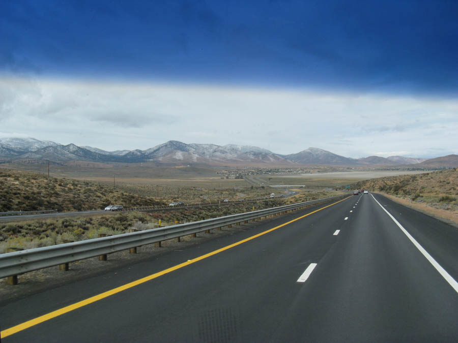
On the road again

Three hours and the transmission is fine.. We stayed on the well traveled roads
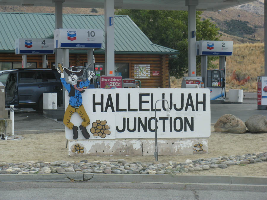
A famous name
Did You Know? - Hallelujah Junction is an unincorporated community in Lassen County, California. It is located 4 miles (6.4 km) east-southeast of Beckwourth Pass, at an elevation of 5033 feet (1534 m). It is located at the interchange with U.S. Route 395 and the eastern terminus of State Route 70 (formerly US 40 Alt.).
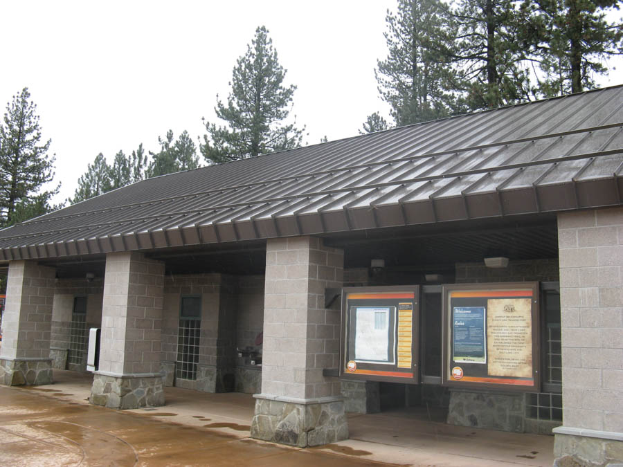
Time to stretch our legs

Trading Post and Rest Stop
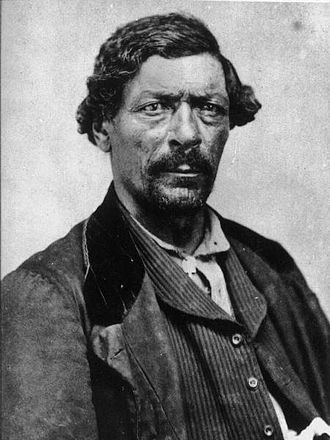
Did You Know? - James Pierson Beckwourth, born James Beckwith and generally known as, Jim Beckwourth (April 26, 1798 or 1800 Frederick County, Virginia – October 29, 1866 or 1867, Denver, Colorado Territory) was an American mountain man, fur trader, and explorer.
A mulatto born into slavery in Virginia, he was freed by his father (and master) and apprenticed to a blacksmith; later he moved to the American West. As a fur trapper, he lived with the Crow Nation for years.
He is credited with the discovery of Beckwourth Pass, through the Sierra Nevada (U.S.) Mountains, between present-day Reno, Nevada, and Portola, California, during the California Gold Rush years, and improved the Beckwourth Trail, which thousands of settlers followed to central California.

Liquid sunshine
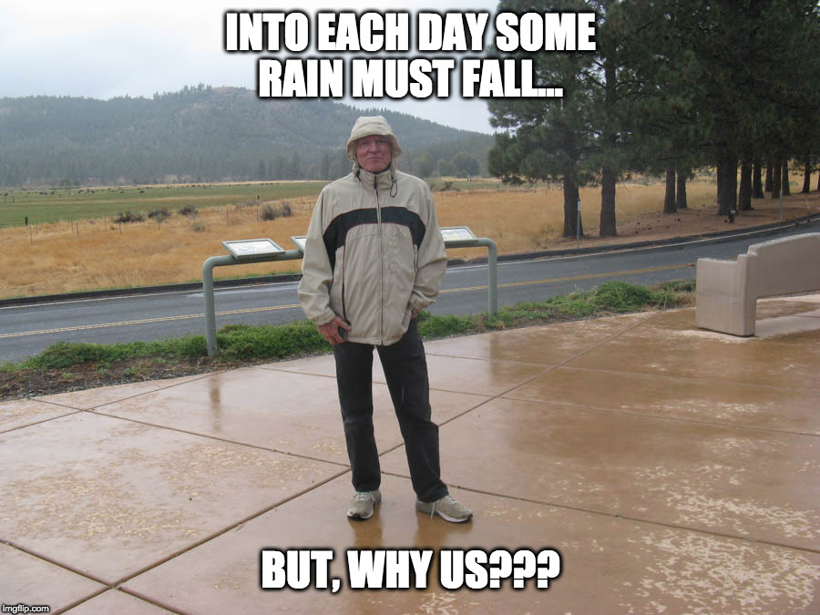
Decked out in the rain gear!

"Hey Sandy... Put another log on the fire... It's cold in here"

...and they have the Elks
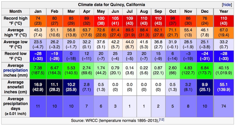
Did You Know? - Quincy started as a Gold Rush community just outside Elizabethtown, CA. Elizabethtown started in 1852 and slowly dissolved and moved a mile away into American Valley to form Quincy after 1858.
Quincy is named after the city of Quincy, Illinois, named in turn after John Quincy Adams (1767 - 1848), the sixth president of the United States (1825 - 1829).
The Quincy post office opened in 1855. James H. Bradley, one of the organizers of Plumas County, donated the land at Quincy for establishment of the county seat. He then laid out the town and named it after his ranch in Illinois.
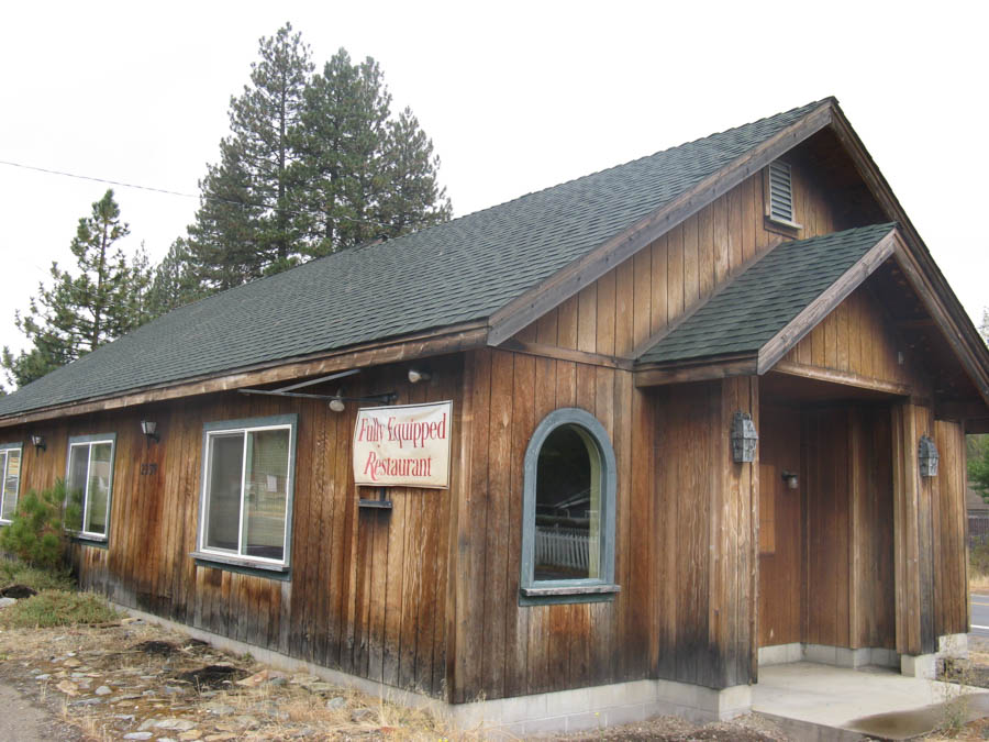
Fully equiped restaurant? Time to eat???

We are setting up for the evening... It's a little loney up here!

As scene from an airplane
Did You Know? - Lake Almanor is a large reservoir in northwestern Plumas County, northeastern California. The reservoir has a capacity of 1,308,000 acre feet (1.613×10⁹ m3) and a maximum depth of about 90 feet. It is formed by Canyon Dam on the North Fork of the Feather River, as well as Benner and Last Chance Creeks, Hamilton Branch, and various natural springs.

Day 15 10/03
Day 16 10/04
Day 17 10/05
Return to Top
Summary: Good by Twin Lakes! We are heading to Redding (no pun intented). TWo and a half miles down the road and out of the cold!
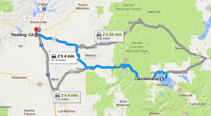
Two and a half hours of watching the world go by

We finish packing up at Twin Lakes and doing last minute checks
before pulling out and hitting the road

Highway 172
... The scenic route
Did You Know? - State Route 172 (SR 172) is a state highway in the U.S. state of California in Tehama County. It is a loop route off of State Route 36.

Snow still present... Get your jackets ready!
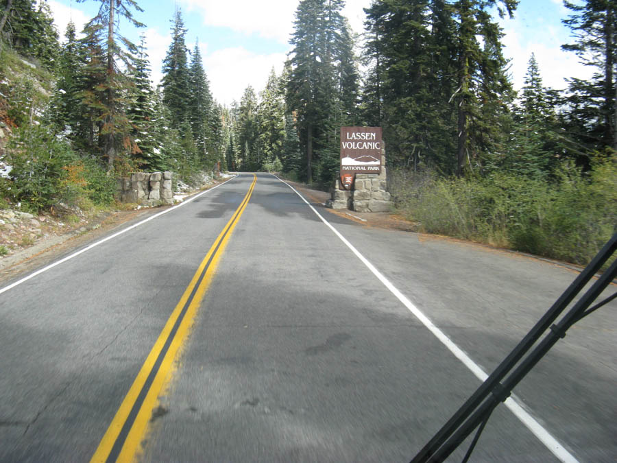
Lassen Volcanic Park ahead
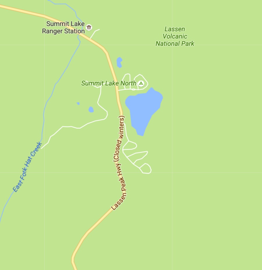
High in the sky!
Did You Know? - Lassen Volcanic National Park is in northern California. It's rich in hydrothermal sites like Bumpass Hell, with its acres of bubbling mud pots. The summit of Lassen Peak Volcano offers views over the surrounding wilderness. Nearby, the Devastated Area is littered with lava rocks from its last eruption. A network of trails through forest and around several lakes connects with the Pacific Crest Trail in the north.
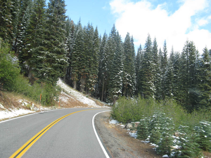
The outside temperature is in the high thirties!
Did You Know? - Lassen Volcanic National Park is a United States National Park in northeastern California. The dominant feature of the park is Lassen Peak, the largest plug dome volcano in the world and the southern-most volcano in the Cascade Range. Lassen Volcanic National Park started as two separate national monuments designated by President Theodore Roosevelt in 1907: Cinder Cone National Monument and Lassen Peak National Monument.
The source of heat for volcanism in the Lassen area is subduction off the Northern California coast of the Gorda Plate diving below the North American Plate.
The area surrounding Lassen Peak is still active with boiling mud pots, stinking fumaroles, and churning hot springs.
Lassen Volcanic National Park is one of the few areas in the world where all four types of volcano can be found (plug dome, shield, cinder cone, and strato).
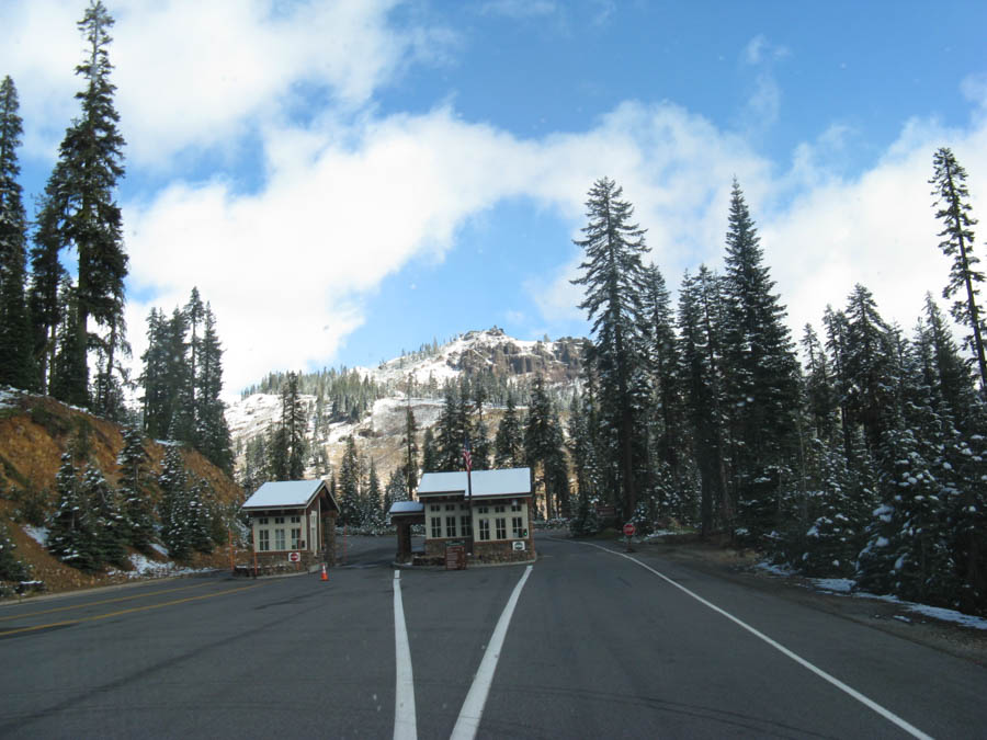
Entering the park... Temperature 37 degrees!

We visited the Visitor's Center

It's like December
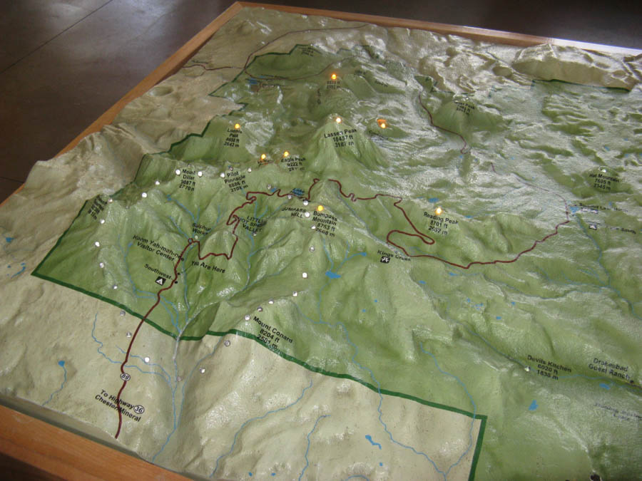
The displays were quite interesting

"Turn on the heater!!"
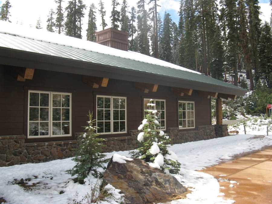
Snow in October?
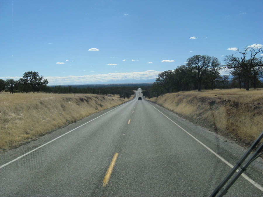
Here we go.... To the Elks!
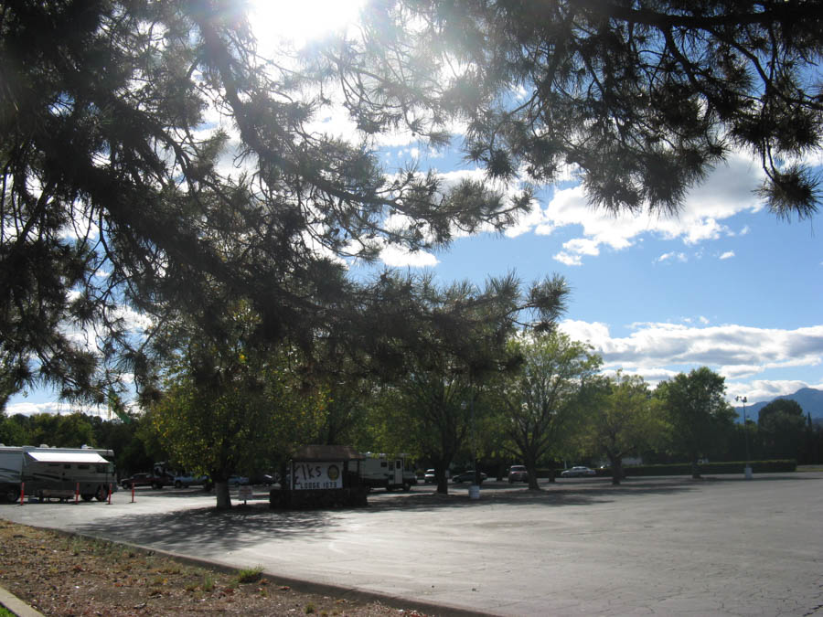
We have arrived!

Hookup and ready to go!
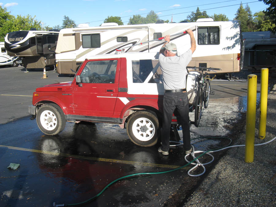
She needed a bath... The Suzuki, not Sandy!

Day 15 10/03
Day 16 10/04
Day 17 10/05
Return to Top
Summary: The Elks Lodge was quite nice so we decided to stay around for a day and visit the local sites.
Did You Know? - Redding, officially the City of Redding, is the county seat of Shasta County, California, in the northern part of the state. It is located on the Sacramento River, which provided transportation and power in its early years. Interstate 5 passes close to the city, which has a population of 89,861. Redding is the largest city in the Shasta Cascade region, and it is the fourth-largest city in the Sacramento Valley, behind Sacramento, Elk Grove, and Roseville.

We woke up to another beautiful day!
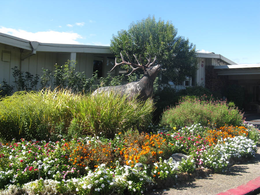
Mr. Elk welcomed us
Did You Know? - The site of Redding was settled by Native Americans of the Wintu tribe around the year 1000. Situated along the Siskiyou Trail, Redding became a stop on a trade and travel route connecting California's Central Valley and the Pacific Northwest. During the early 19th century, Hudson's Bay Company trappers and numerous European-American settlers passed through the site while traveling along the Siskiyou Trail.
The first European-American settler in the area was Pierson B. Reading, an early California pioneer. He was an admirer of John Sutter. In 1844, Reading received the Rancho Buena Ventura Mexican land grant for the area occupied by today's Redding and Cottonwood, California, along the Sacramento River. At the time it was the northernmost nonnative settlement in California.
Later, when the Southern Pacific Railroad built its rail line through the Sacramento Valley, it decided that the cost of making a small westerly detour to reach the mining town of Shasta was not in its interest. The railroad routed the tracks through an area then known as Poverty Flats, stimulating the development of the European-American town of Redding.
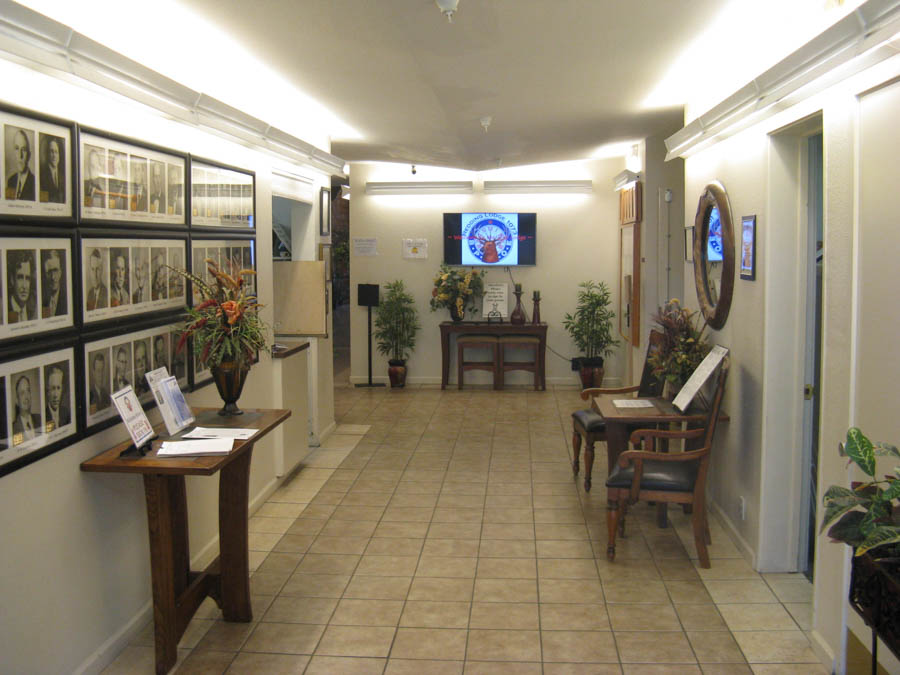
The lodge was magnificent
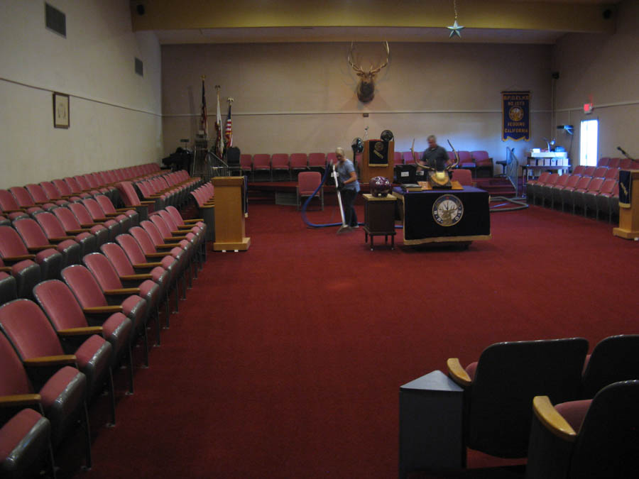
The Lodge Hall was huge
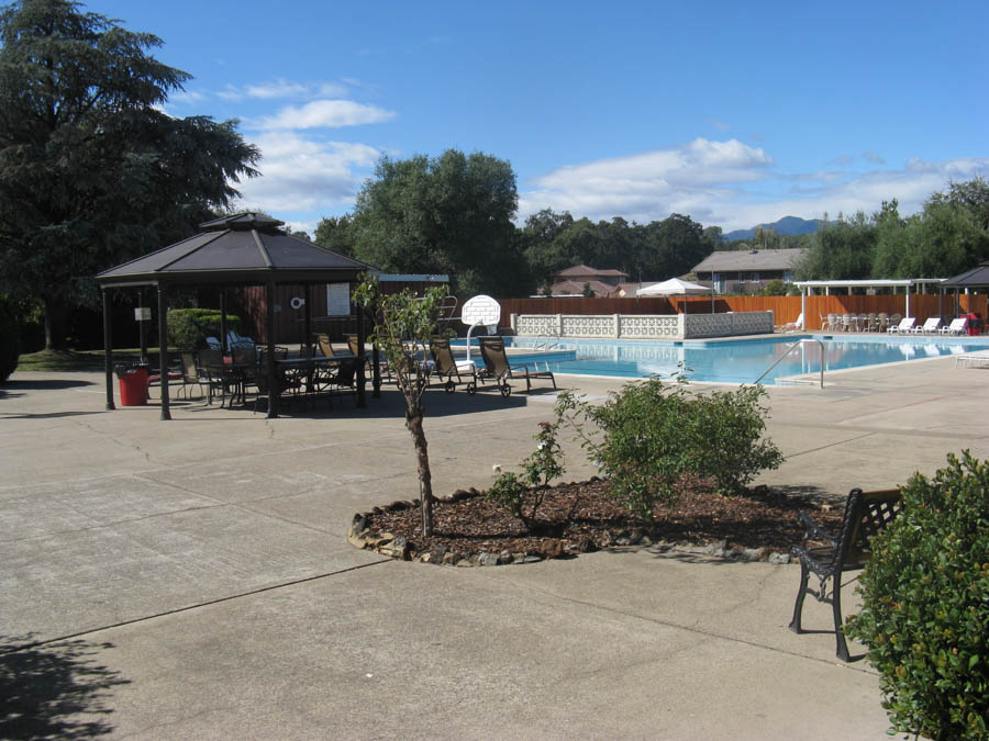
Even a swimming pool
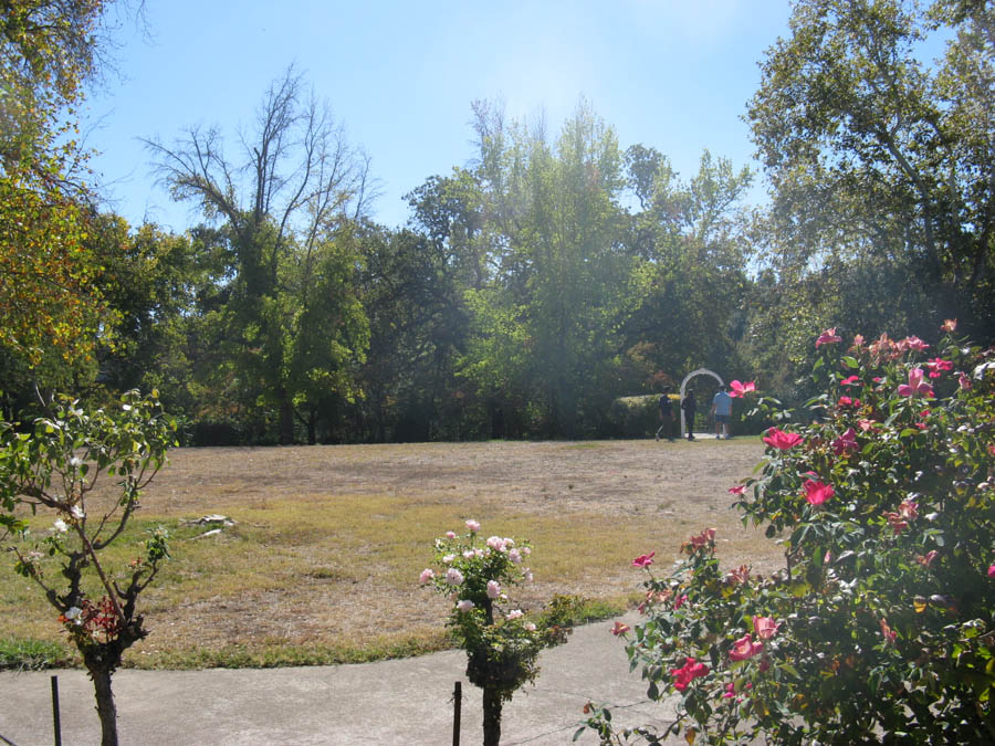
The gardens were pretty
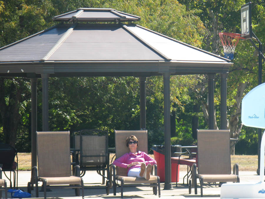
"What time is it you ask? Time to rest!"
Did You Know? - The Sundial Bridge provides pedestrian access to the north and south areas of Turtle Bay Exploration Park, a complex containing environmental, art and history museums and the McConnell Arboretum and Gardens. It also forms the gateway to the Sacramento River Trail,[3] a 35-mile-long (56 km) trail completed in 2010 that extends along both sides of the river and connects the bridge to the Shasta Dam.
Drift boats of fishermen are often seen passing beneath the bridge as they fish for salmon, steelhead and rainbow trout.
In the distance, Mount Shasta is barely visible. Shasta Bally is visible to the West looking upstream the Sacramento.
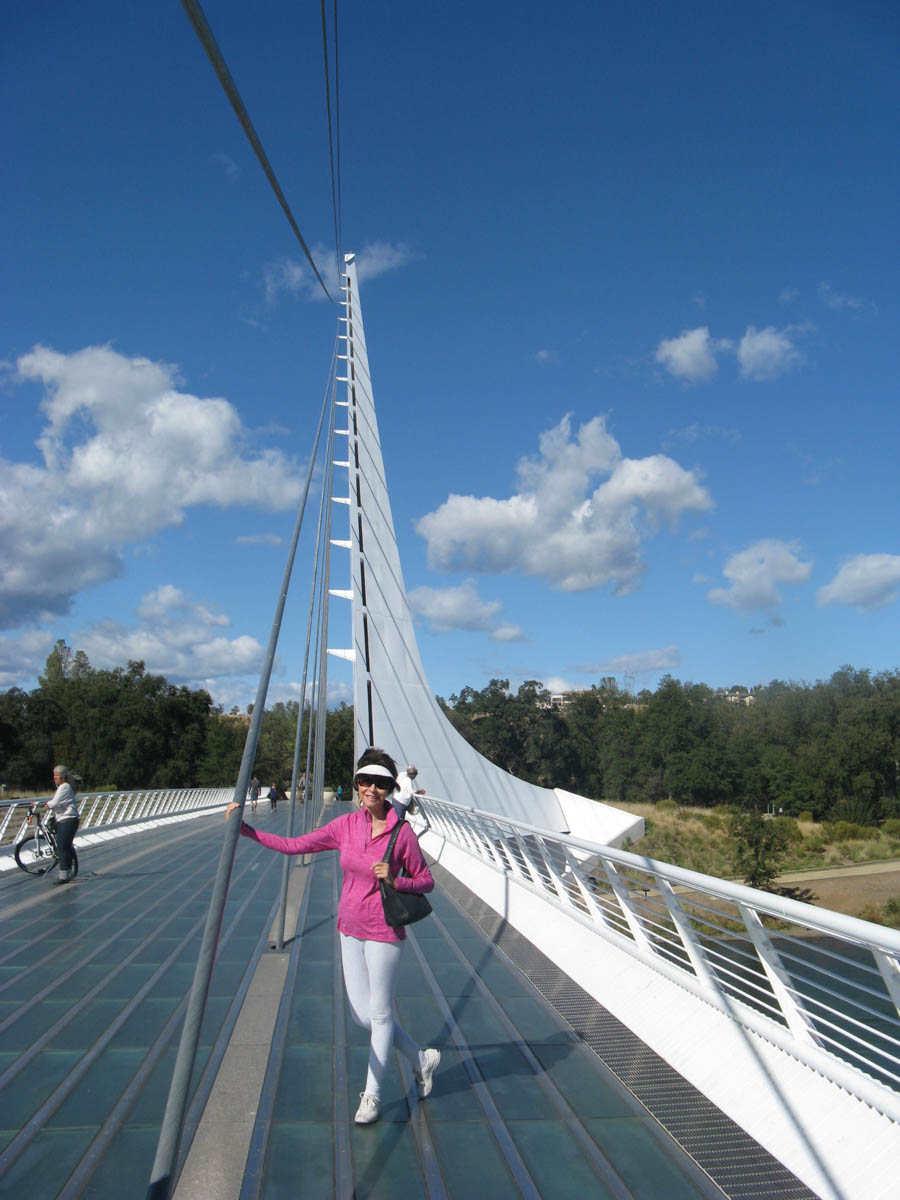
"I am busy holding it up!"
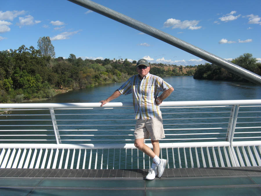
"Where is my fishin' pole when I need it?"
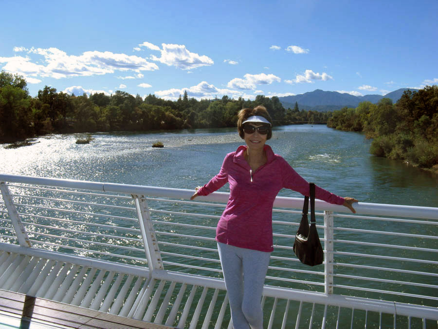
It's a model shoot!
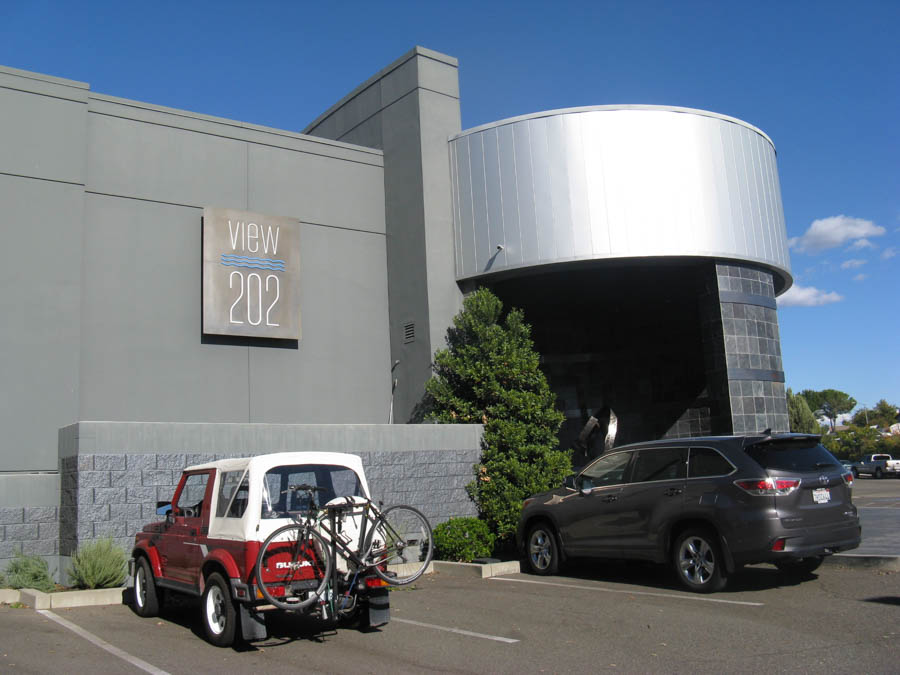
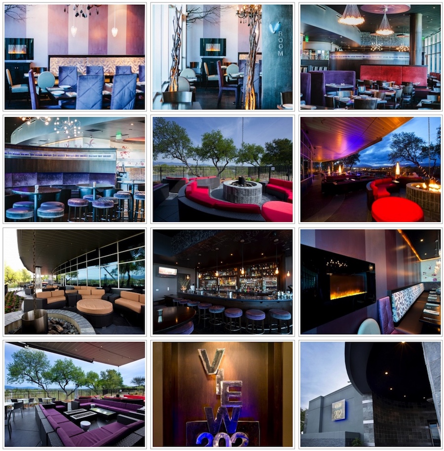
Excellent dining!
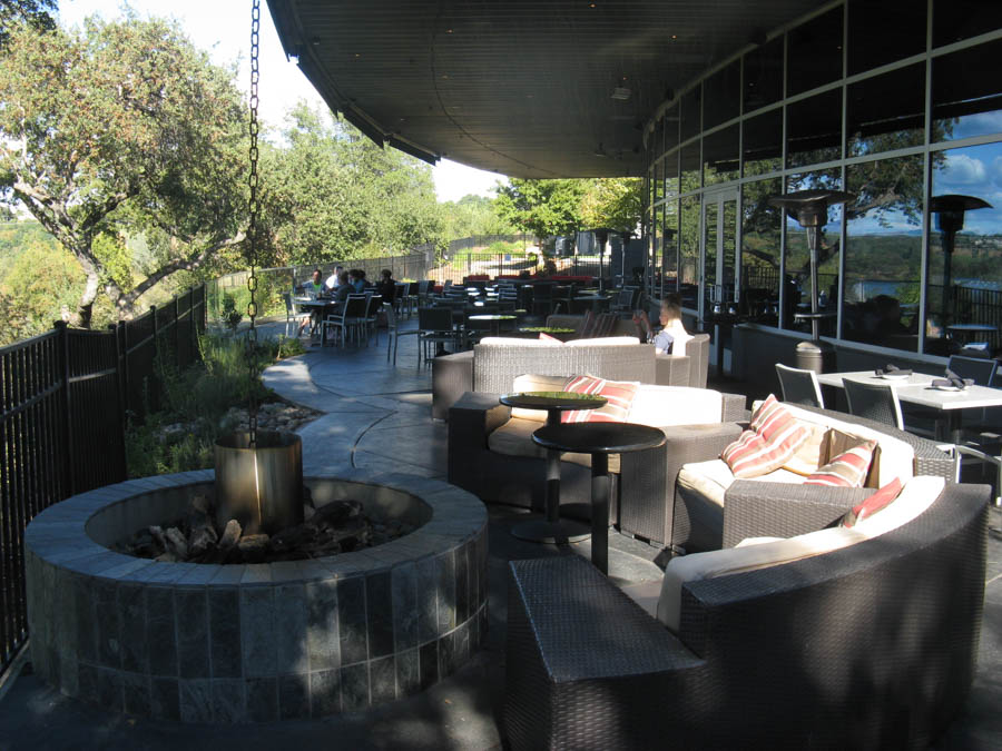
Outdoor living at it best!

Complete with a view of....
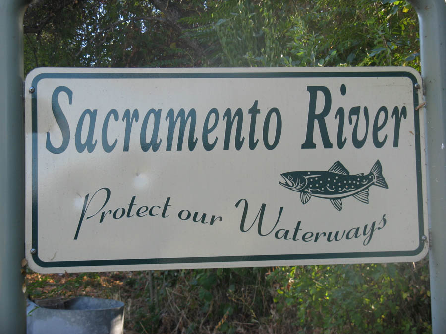
Did You Know? - The Sacramento River is the principal river of Northern California in the United States, and is the largest river in California.[9] Rising in the Klamath Mountains, the river flows south for 445 miles (716 km) before reaching the Sacramento–San Joaquin River Delta and San Francisco Bay. The river drains about 27,500 square miles (71,000 km2) in 19 California counties, mostly within the fertile agricultural region bounded by the Coast Ranges and Sierra Nevada known as the Sacramento Valley, but also extending as far as the volcanic plateaus of Northeastern California
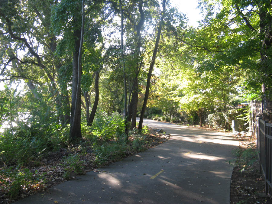
Nice bicycle path along the river
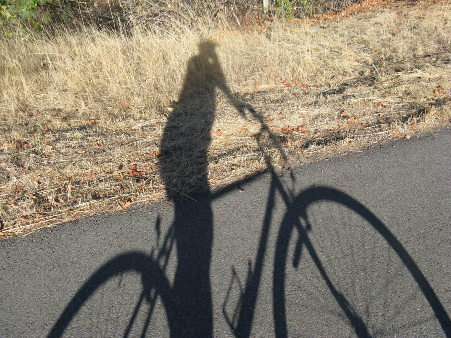
Here we go!
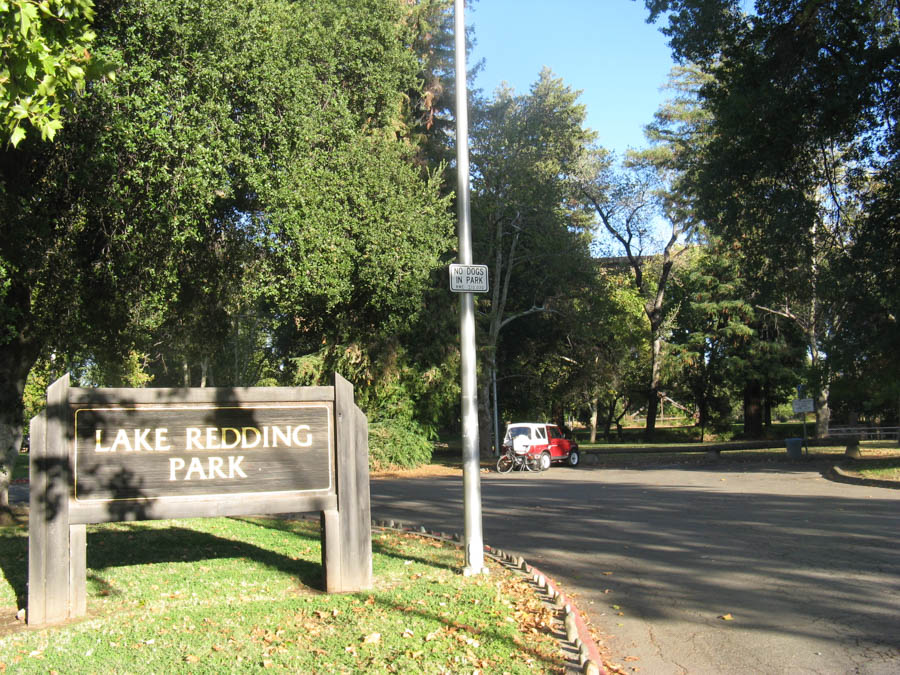
Recreation area

Exercise complete... Time to dine

Over the teeth and through the gums, lookout tonsils, here it comes


