Our Visit To The TomatoFest!
A Weekend Visit To Carmel And The Quail Lodge!
The Driving Adventure
Highway 33 From Highway 101 To Cuyama Highway 166

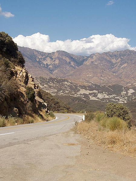
Highway 33
State Route 33 is a north-south state highway that connects the central and southern areas of the U.S. State of California. SR 33 replaced part of U.S. Route 399 in 1964 during the "great renumbering" of routes. It is known as the Westside Highway.
The southernmost portion is a freeway known as the Ojai Freeway and it is defined as a "scenic drive'... We will see!
Highway 33
Beginning at Highway 101 as a short freeway (the "Ojai Freeway"), it continues north as an undivided surface road through Ojai, follows Matilija Canyon past the easternmost extremity of the Santa Ynez Mountains, passes over the Transverse Ranges at Pine Mountain Summit, coming down into the Cuyama Valley to an eventual junction with SR 166.
The climate of the mountain range is Mediterranean. Summers are warm and almost entirely rainless, save for occasional monsoonal showers in August and September, though in most years there is no rain between May and October. Winters are mild and can be rainy, with sometimes over 40 inches (1,000 mm) of rain falling in the mountains (while only 15 inches (380 mm) falls on the coastal plain below due to the photographic effect of clouds dropping most of their moisture on the higher terrain). About one year in three snow falls on the higher peaks in the mountains, but it rarely stays for longer than a few days. In the late spring and early summer the mountains and areas below to the south are subject to occasional intense sundowner winds, a type of wind in which the air is heated adiabatically and dried as it moves down slope. In dry years these winds pose an extreme fire hazard
Highway 166 Northwest To Highway 101

The western terminus of Route 166 snakes through the Guadalupe-Nipomo Dunes, ending at the Pacific Ocean

Route 166
Route 166 starts off in Guadalupe in northwestern Santa Barbara County and heads east towards the largest city on its eastern journey: Santa Maria. It then joins with U.S. Route 101 for the last few miles in Santa Barbara County before crossing the Santa Maria River and splitting off in San Luis Obispo County. For the next 75 miles (121 km), SR 166 crosses the Santa Barbara/San Luis Obispo county line a total of five times.
This stretch follows the Cuyama River through a canyon separating the Sierra Madre Mountains from mountains in San Luis Obispo County, and then opens out into the Cuyama Valley, passing cattle ranches, going through the Russell Ranch Oil Field, and passing Aliso Canyon Road, the turnoff to the South Cuyama Oil Field. On the north during this stretch is the mile-high Caliente Range, which contains Caliente Mountain, the highest peak in San Luis Obispo County. After going through the towns of New Cuyama and Cuyama, the highway meets SR 33 north of Ventucopa.
Santa Maria is the largest city in Santa Barbara County, California. According to the California State Department of Finance, Santa Maria's estimated population of 90,333 has surpassed that of Santa Barbara, making it the largest city in the county.
Return To The Main Drag, Highway 101 North Of Santa Maria
Back to civilization. Next turn is into Carmel Valley
Our Pictures From The 9/11/2008 Trip Up The Coast

The Pepperdine Campus had a flag display out with 3,700+ flags for our
citizens killed by the Islamic rabble!
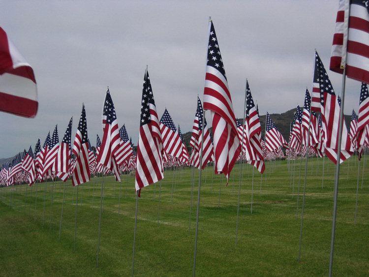
It was an overcast day on the coast but the flag made the day bright
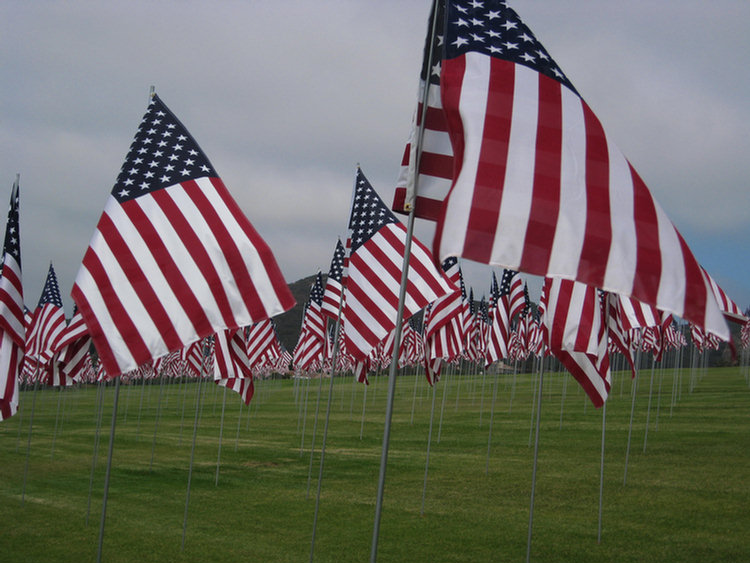
What a feeling to be amongst all th flags
Time To East And Eat Well! Suzanne's Cuisine Was Wonderful!
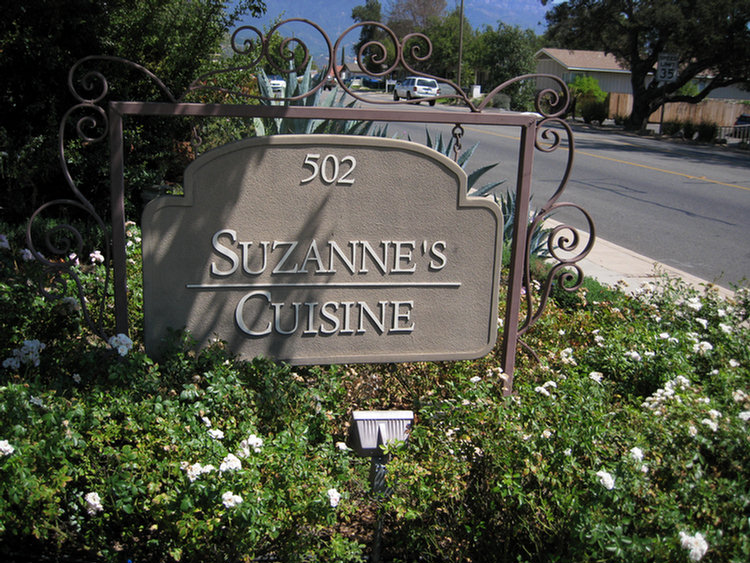
In Ojai, it was a "find"
 We are Italian American by descent and we lived in France when I was a child. These are the two biggest influences on my Mom’s cooking. She adores the flavors of Provence - tomatoes, garlic, olives and olive oil. Simple, natural flavors that are honestly delicious and not over-contrived. Mom has a love for food. Consequently, the menu reflects other influences in her life as well - a little Asian, a little Mexican and maybe some interesting spice that she picked up at the Indian market. In the fall of 1992, the question we answered most often was “what kind of food will you serve?” It was difficult for us to explain, because, quite simply, it was Mom’s food. As we struggled for a name, it seemed that Suzanne’s Cuisine was the logical choice. Suzanne’s Cuisine isn’t just her kitchen, it is her cooking as well.

Great setting off the drag so it was quiet!

Eating inside or outside was a pleasure

Super wine selection... We tasted several!
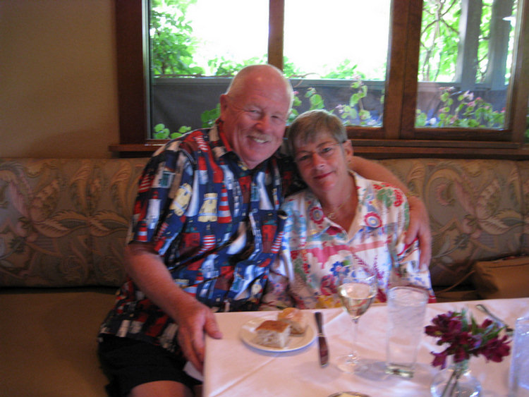
See, we were actually there... together! The waiter was a bit nervous
though!

Clean, fresh looking... Nice bar area

Parking was right out front

Great patio
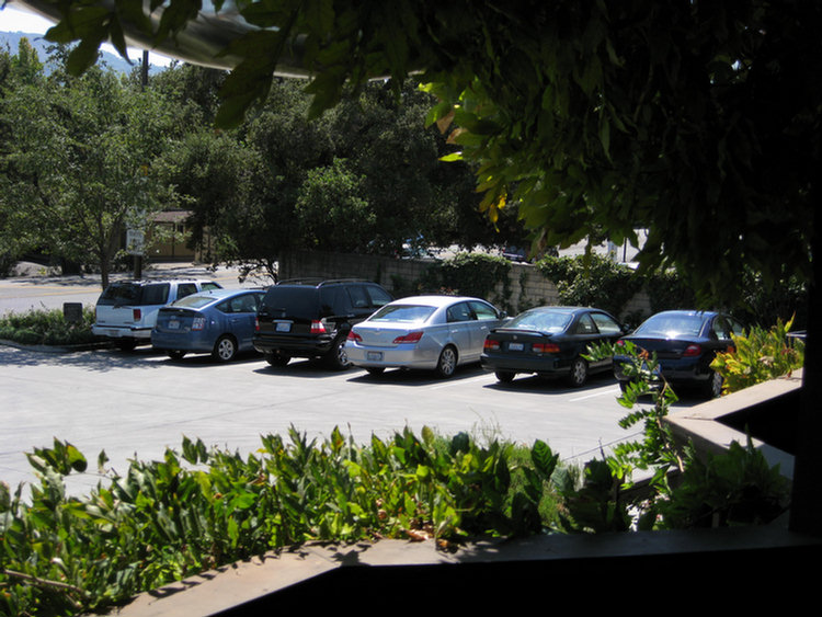
The silver bullet awaits our arrival
On The Road Again!

The trip through the mountains was about 133 miles in length!
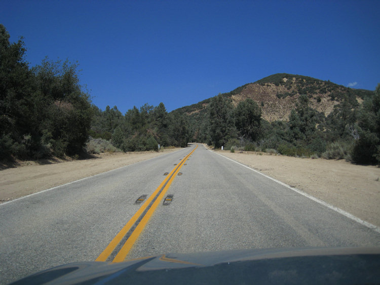
The weather was perfect for a drive through the mountains... We are at 5,000
feet!
We Be There
And what is the first thing we do? Walk around the grounds and find the "pointing fluid"... "Pointing Fluid" you ask? Yes, it's what Paul needs to drink before playing golf!

Must inspect the SPA area as that is the next destination
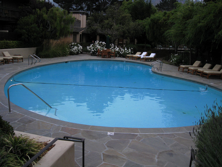
The pool was 86 degrees, time to unlax!

Paul's place to relax!
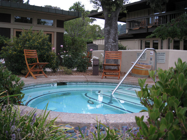
Another 30 minutes and Paul & Mr. Wine will be in got water!
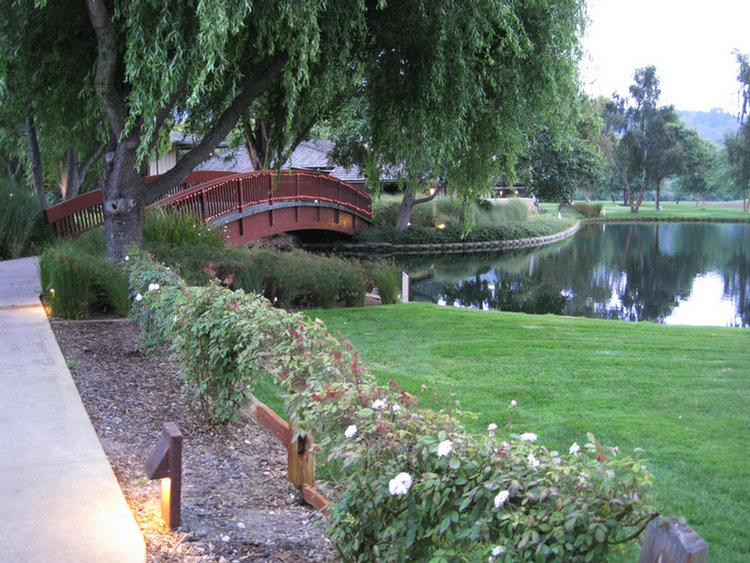
The grounds are fantastic, full of flowers and views behind every corner

A little romance maybe??

Looking into the Covey (their five star restaurant) from the bridge)

Very restful... No crowds and hustle and bustle!

Hurry, I can see the bar!
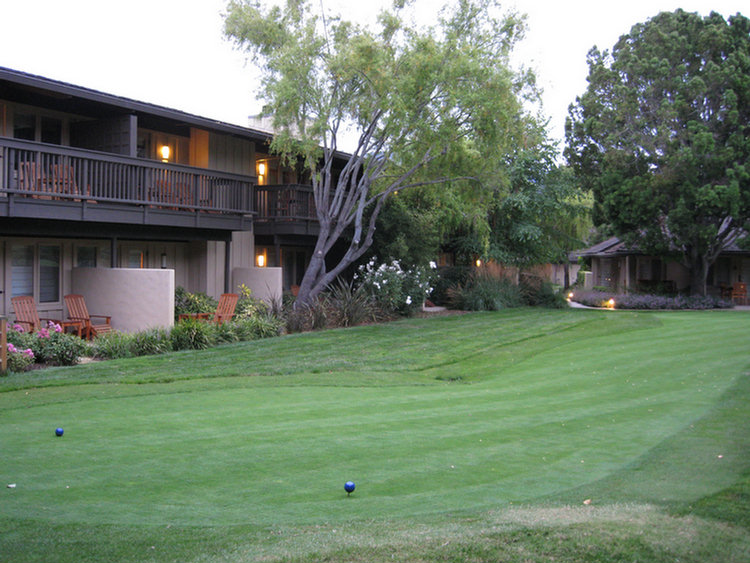
A little putting anyone?

Putt, run over and have a drinkie, and putt again... that's the life!
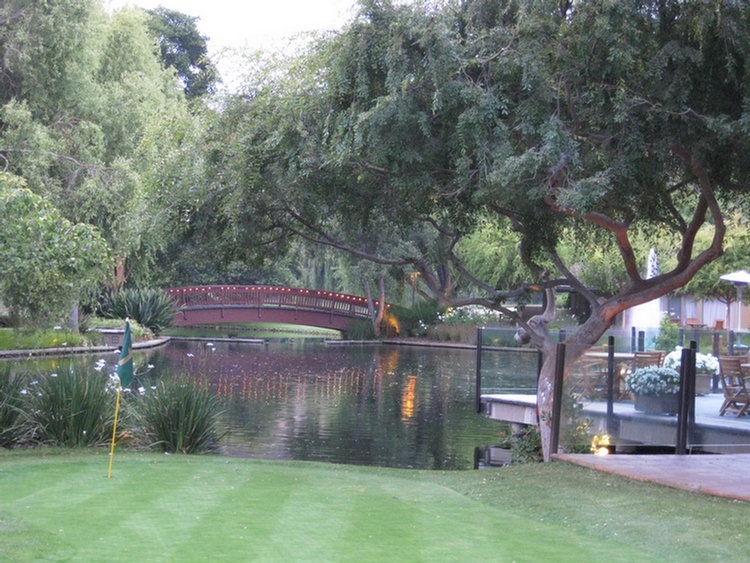
Dusk is settling in... see the lights?
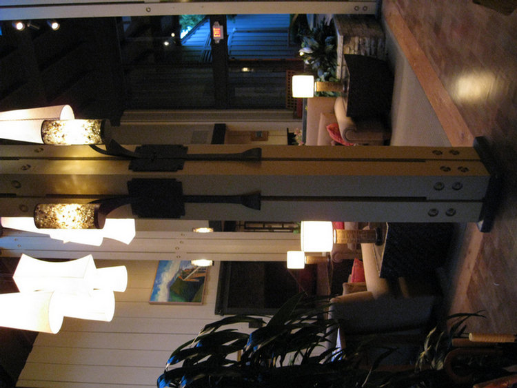
Dramatic lobby without being over stated!
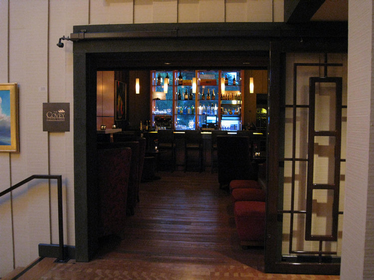
Sniff sniff sniff... I found it!

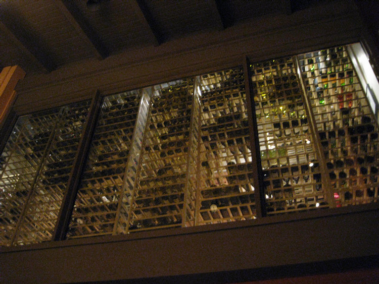
The wine loft? No cellar? They do everything uniquely!
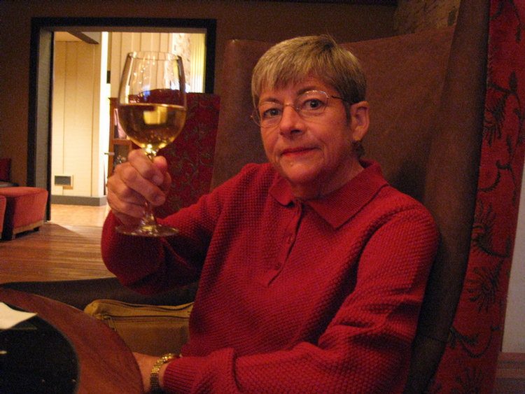
The honey grail!

He is happy now!
Nice Golf Club... Some Parts Are Still Private

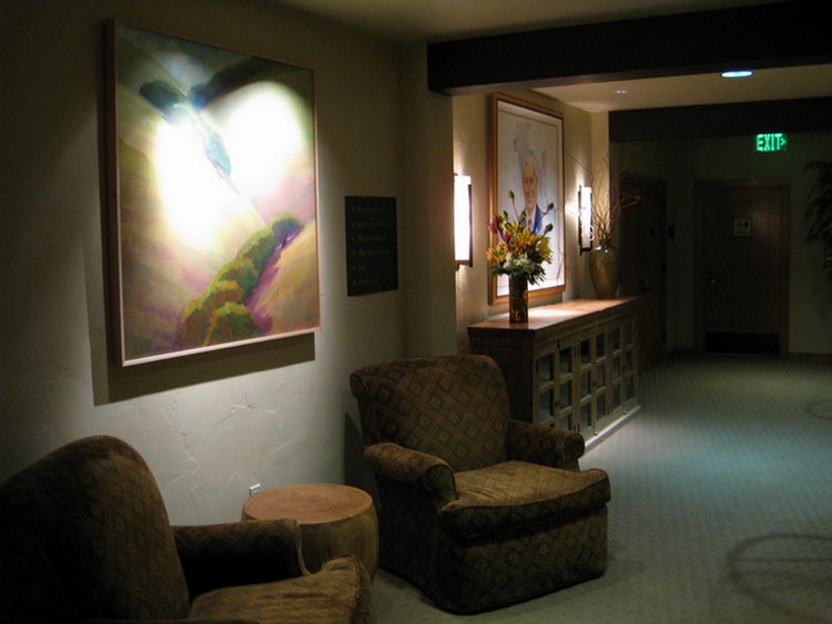
Mr. Haber... the founder

Time to rest and get ready for golf tomorrow
Part Two: Golf: The Real Reason For The Trip
