Day #5 (6/19/2017) - Connor Pass (Page Five)
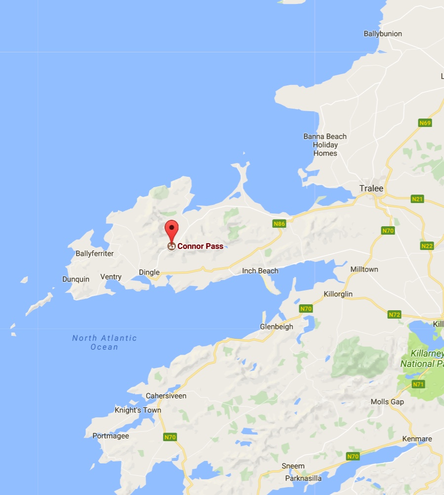
Today we go for a drive and in fact, will took Conor Pass or Connor Pass which is one of the highest Irish mountain passes served by an asphalted road. It is located on the R560 road in County Kerry, Ireland.The 456-metre (1,496 ft) high pass connects Dingle, on the south-western end of the Dingle Peninsula, with Brandon Bay and Castlegregory in the north-east.


Playing in the rocks!
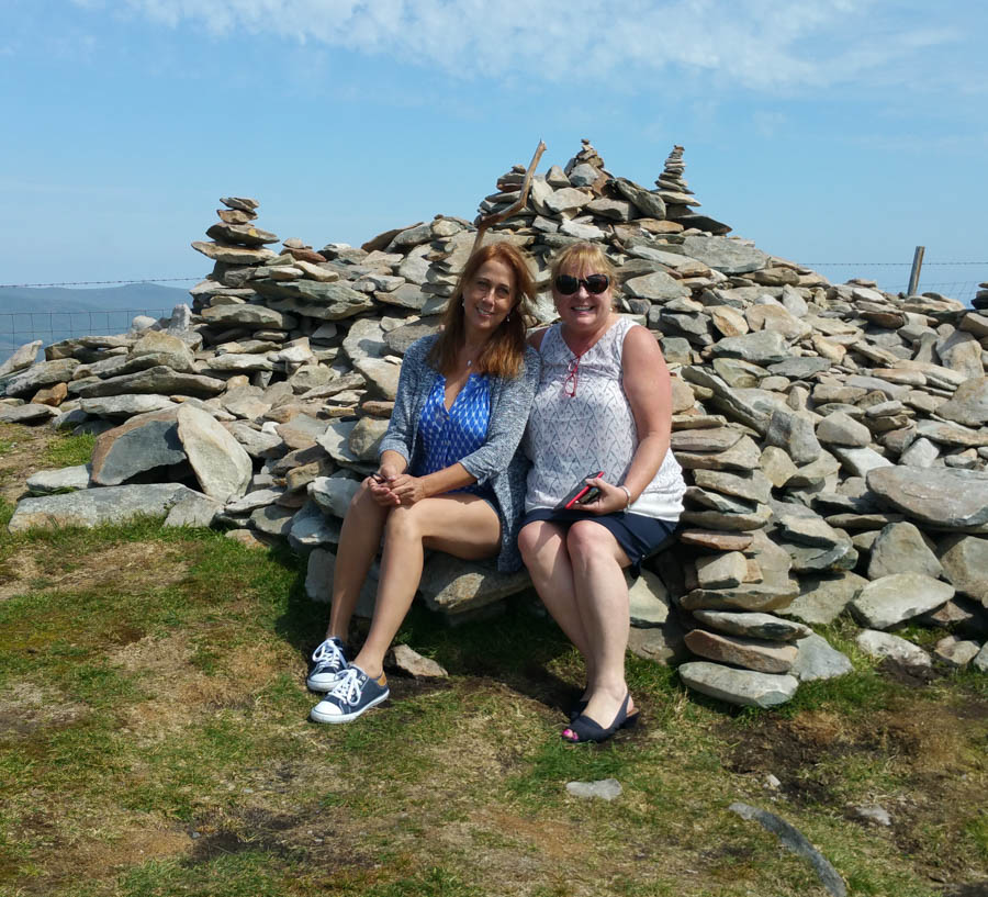
It was a beautiful day!

We could build a castle from all these rocks
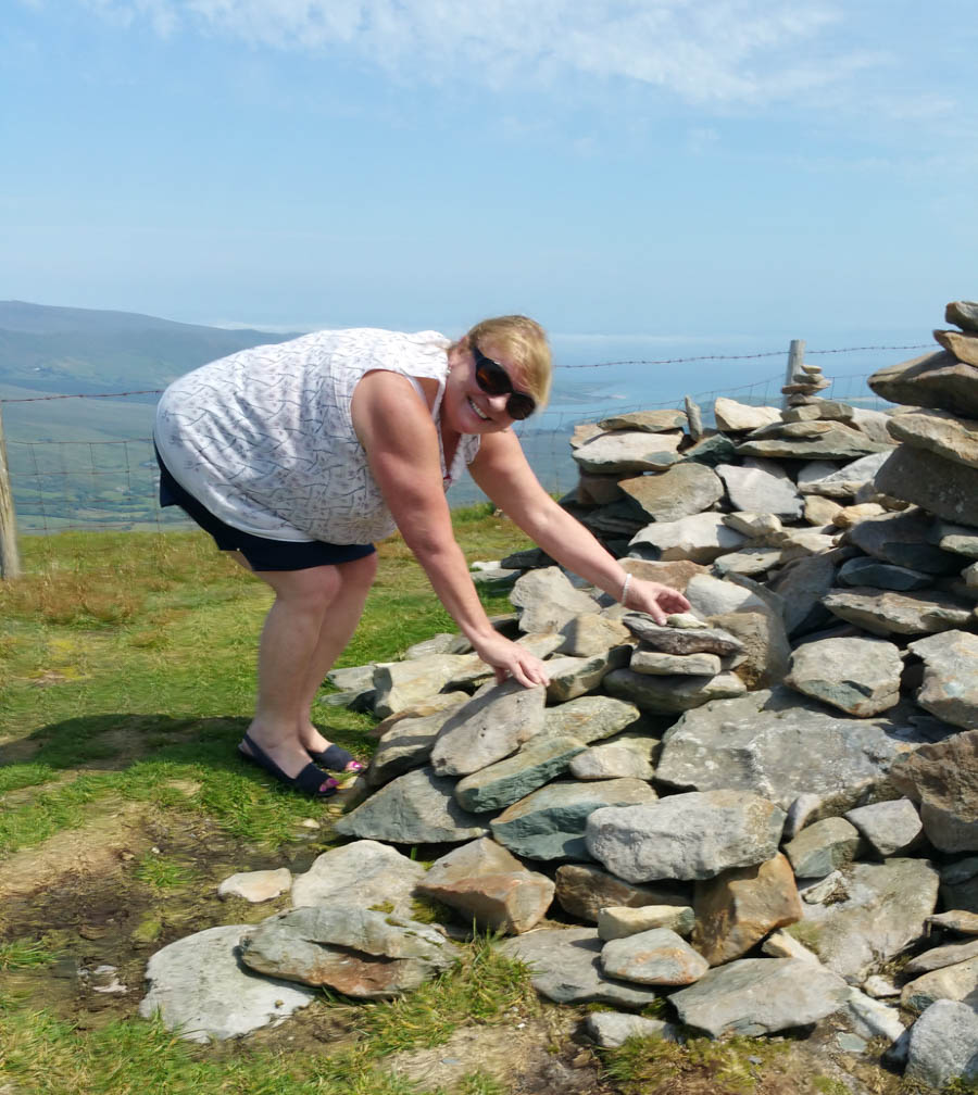
Stacking the rocks... Fun
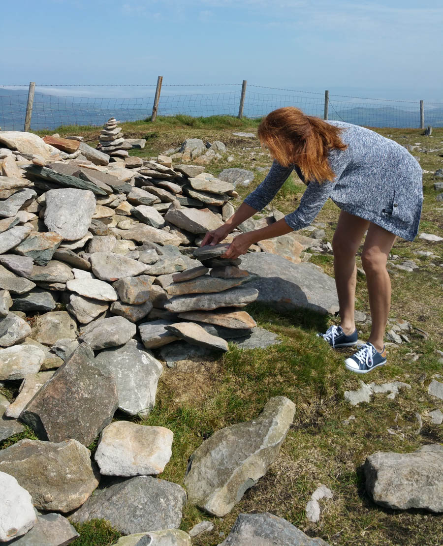
Working hard!

We did a good job


Did we say "single lane road?"
Did You Know? - A twisty one-lane asphalted road leads to the pass. The drive, inadvisable in bad weather, is considered one of the most beautiful of Ireland.
The scenic road leading to the pass weaves its way around the sharp cliff faces and past high corrie lakes. Vehicles over two tonnes in weight are prohibited from using the road in order to avoid difficulties in passing.
Bicycle ascent to the pass is one of the most famous and difficult climbs in Ireland.
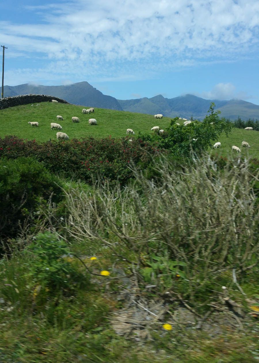
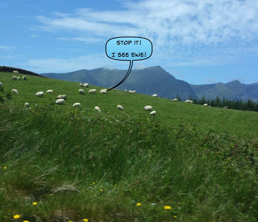
Sheep were everywhere! Ireland’s sheep flocks tend to be very small scale by international standards, with 50% of sheep flocks having less than 50 ewes. This compares with an average flock size of over 200 in Scotland and 1,400 in the world’s largest exporter, New Zealand.
Small herds located throughout Ireland

On the bay
Did You Know? - Cé Bhréannain or Bréanainn (anglicized as Brandon) is a Gaeltacht village on the northern coast of the Dingle Peninsula in County Kerry, Ireland. It lies directly north of Dingle, at the foot of Mount Brandon and on the shores of Brandon Bay.

The ferry crossing takes about 20 minutes and shortens the road journey fron Dingle to Doolin by up to 80 miles.

Crossing in style

Lisa checks for the directions to the next destination

Like being in Newport California

Coming into the dock!
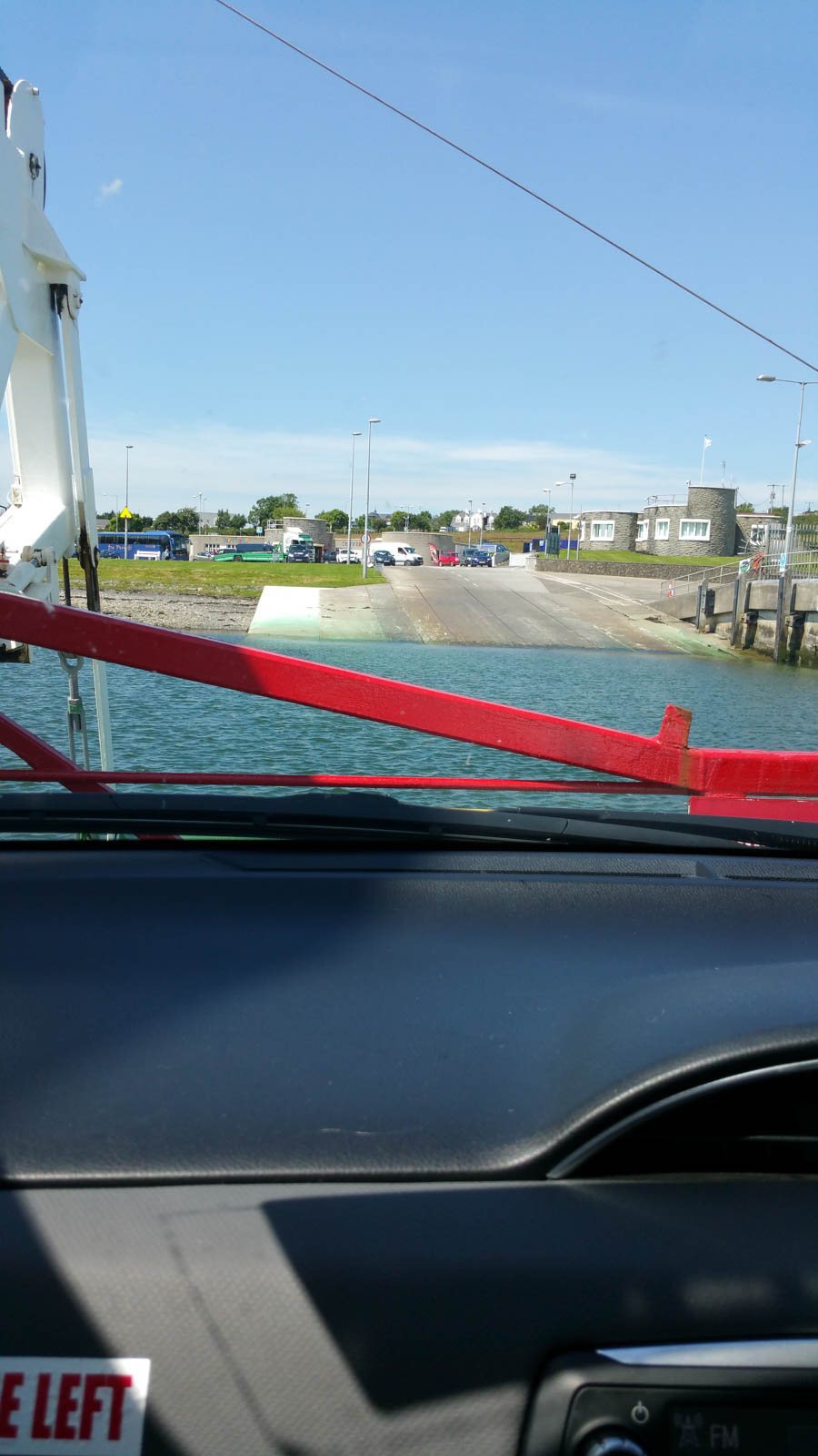
We drive right off onto the land!

Love those thatched roofs!

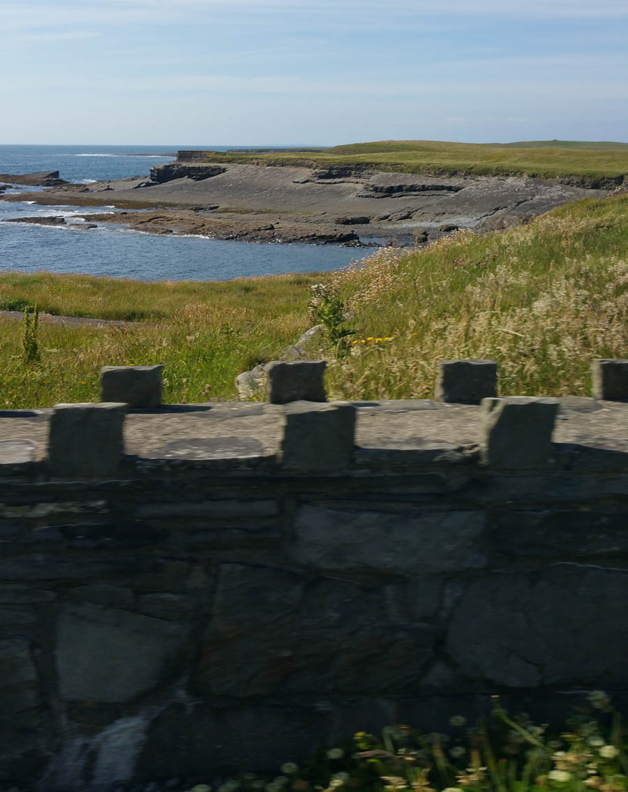

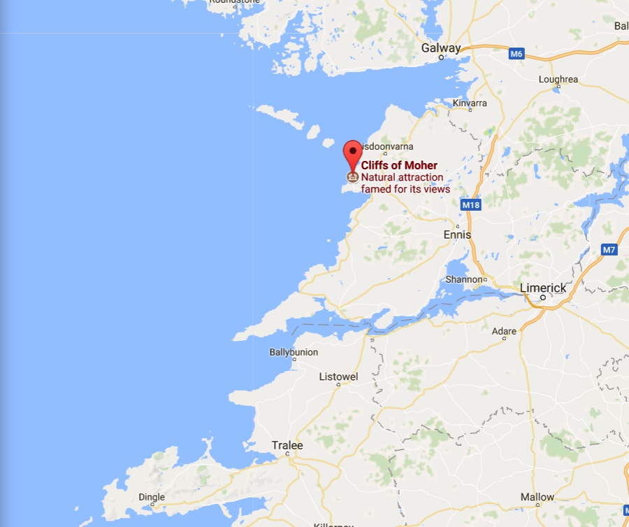
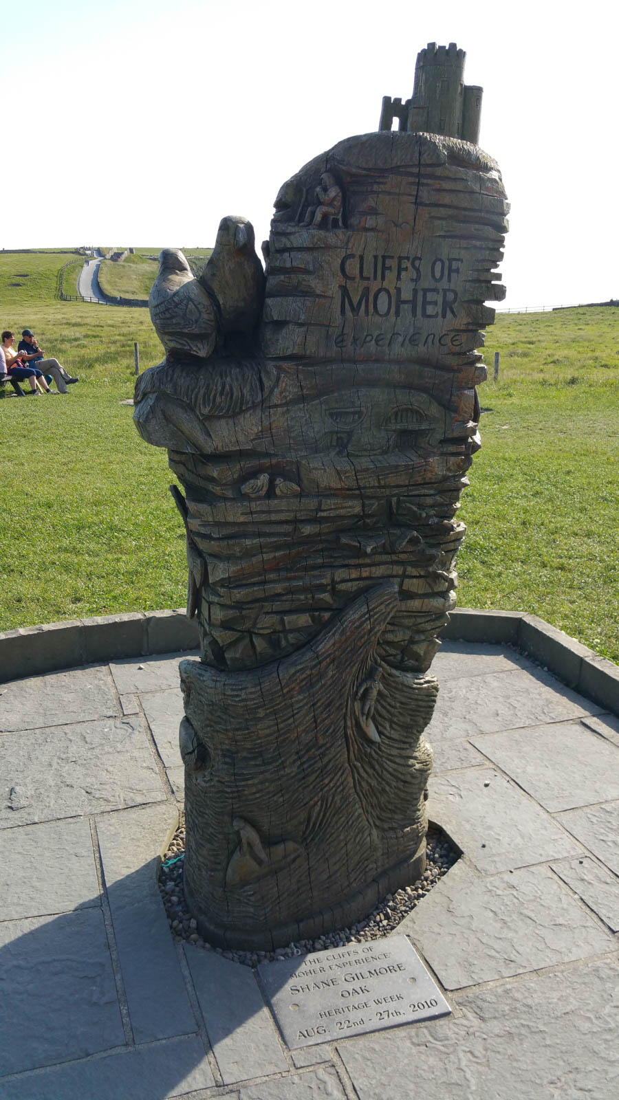
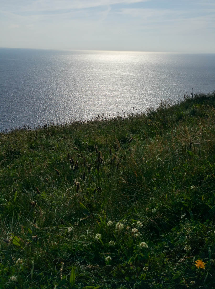
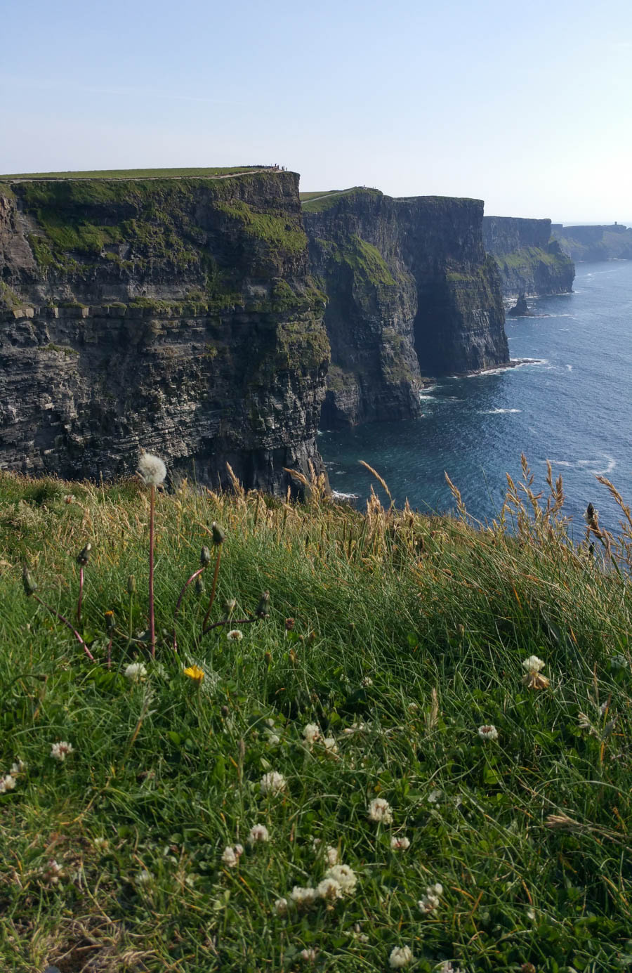
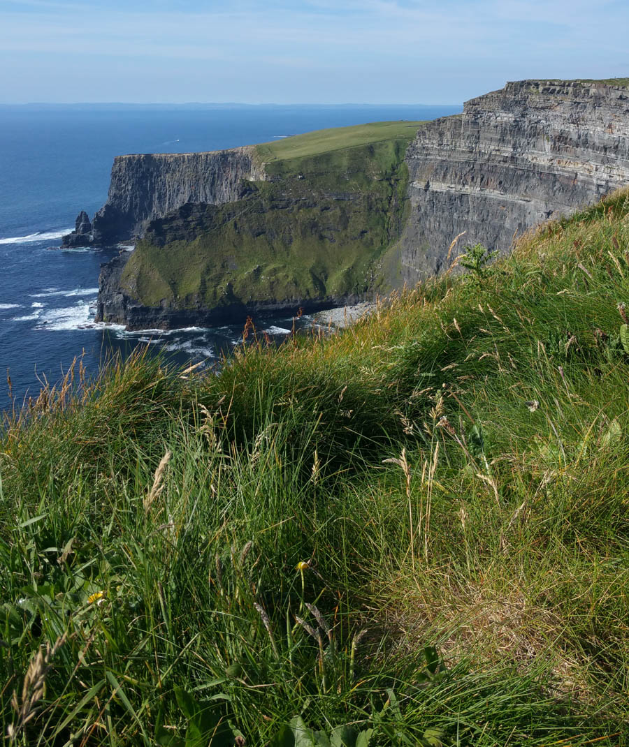
Did You Know? - The Cliffs of Moher are located at the southwestern edge of the Burren region in County Clare, Ireland. They rise 120 metres (390 ft) above the Atlantic Ocean at Hag's Head, and, eight kilometres to the north, reach their maximum height of 214 metres (702 ft) just north of O'Brien's Tower,which is a round stone tower near the midpoint of the cliffs that was built in 1835 by Sir Cornelius O'Brien.
From the cliffs, and from atop the tower, visitors can see the Aran Islands in Galway Bay, the Maumturks and Twelve Pins mountain ranges to the north in County Galway, and Loop Head to the south.[5] The cliffs rank amongst the most visited tourist sites in Ireland[6] and receive approximately one million visitors a year.
The closest settlements are Liscannor (6 km south) and Doolin (7 km north).
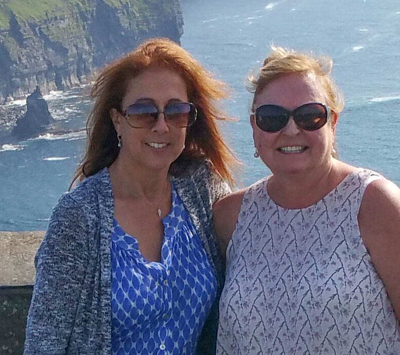
A magnificent sightseeing adventure

Amazing cliffs meeting the North Sea
At the end of the field is a 300 foot cliff to the sea!
Simly amazing!
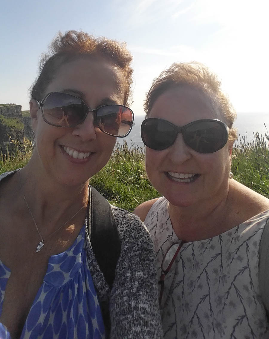
Enjoying the day!

Time for a walk
Did You Know? - The cliffs take their name from an old promontory fort called Mothar or Moher, which once stood on Hag's Head, the southernmost point of the cliffs, now the site of Moher Tower. The writer Thomas Johnson Westropp referred to it in 1905 as Moher Uí Ruis or Moher Uí Ruidhin.[8] The fort still stood in 1780 and is mentioned in an account from John Lloyd's A Short Tour Of Clare (1780).
It was demolished in 1808 to provide material for a lookout/telegraph tower that was intended to provide warning in case of a French invasion during the Napoleonic wars.

A short walk
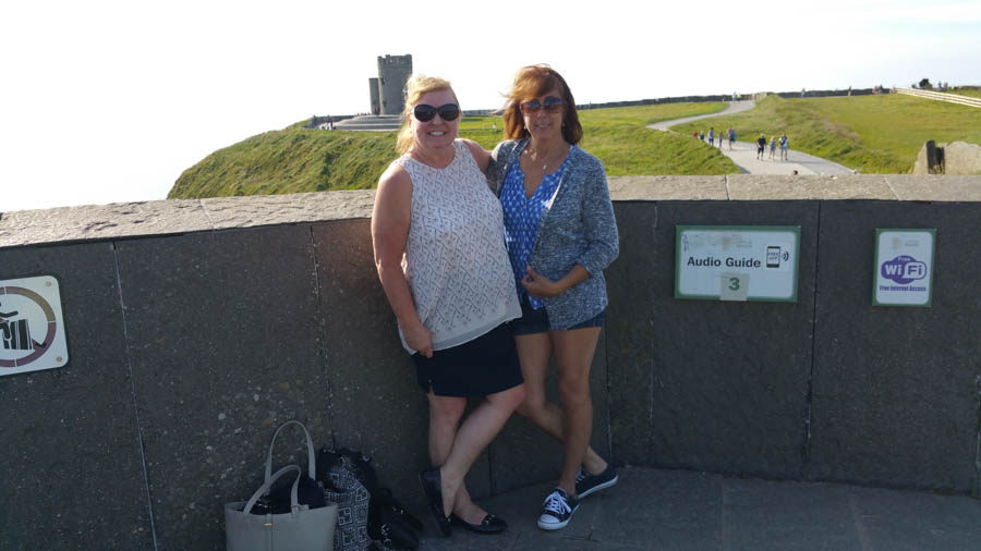
Seeing the sights!

Let's go see the Moher Tower
All smiles

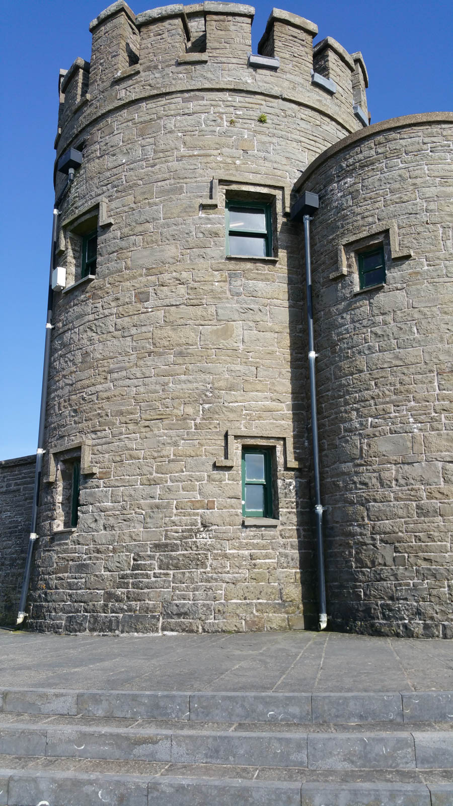
O'Brien's Tower

O'Brien's Tower marks the highest point of the Cliffs of Moher and was built in 1835. It affords you a 360 degree view of the cliffs and surrounding area.
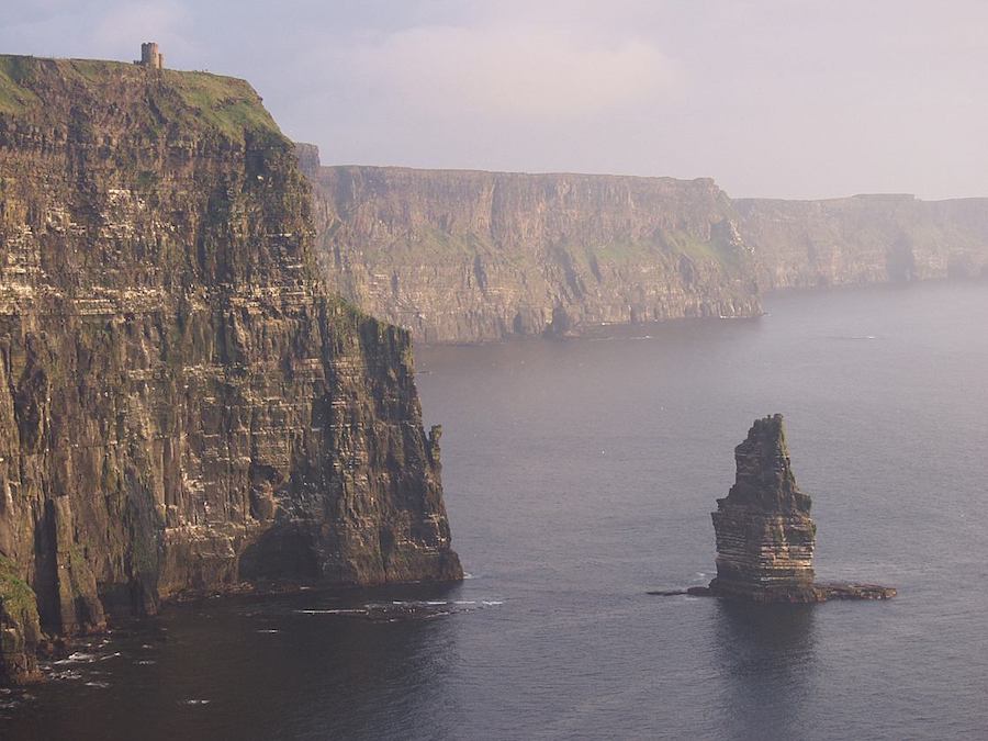
Look in the upper left hand corner.... Sitting all alone!
Did You Know? - The tower was built on the cliffs in 1835 by local landlord and MP Sir Cornellius O'Brien as an observation tower for the Victorian tourists that frequented the cliffs at the time: "strangers visiting the Magnificent Scenery of this neighbourhood". It is said to have initially served as a teahouse, featuring a large round table with seats of ironwork.
Another version tells of O'Brien building the tower in order to impress women he was courting. On a clear day the view can extend as far as Loop Head at the southern tip of Clare and beyond to the mountains of Kerry.
The sea versus the land... Can you image a stormy night?

Do NOT get too close!

On the road again!
Time to rest for the evening!