Magical Sedona! A Day To Explore (Page Five)
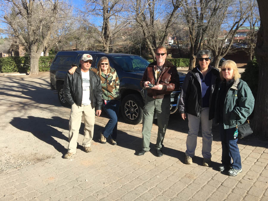
The gang of five prepare for a Jeep ride!
Five? Oops.... Hans is behind the camera... Again!

Off Road adventures!
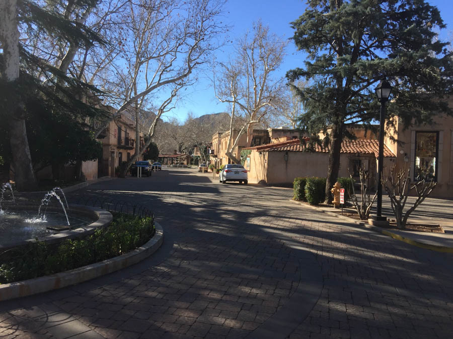
We depart in town and within a few minutes... In the boonies!
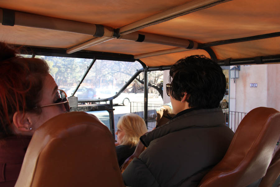
Hang on to your..... Breakfast!
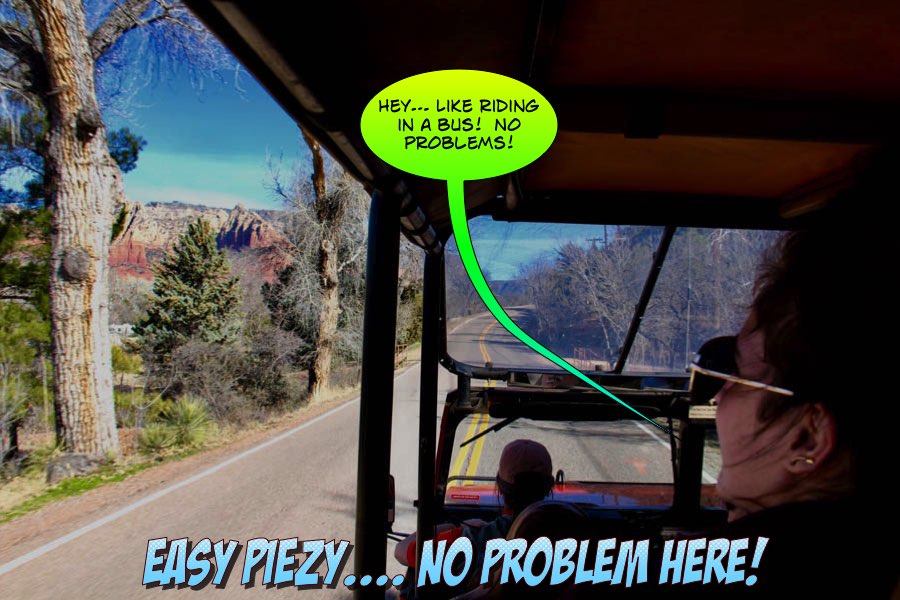
Just like driving on the highway... Off roading is easy!

Beautiful sights
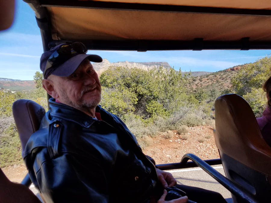
Hans gets the back seat.... Just in case!


The rocks are so very red!
Did You Know? - The famous red rocks of Sedona are formed by a layer of rock known as the Schnebly Hill Formation. The Schnebly Hill Formation is a thick layer of red to orange-colored sandstone found only in the Sedona vicinity. The sandstone, a member of the Supai Group, was deposited during the Permian Period.
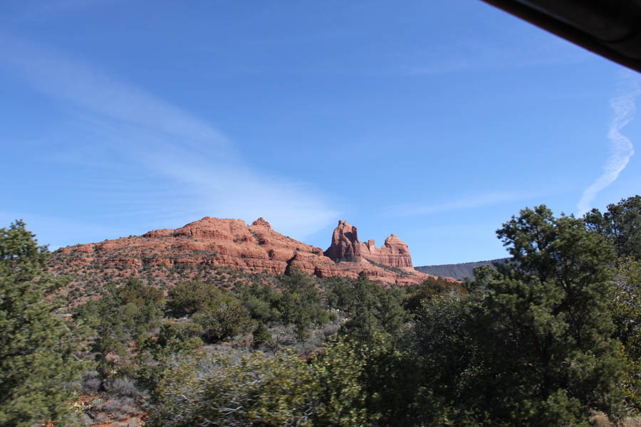
Blues and reds... Amazing!

Oh oh... Cacti ahead!
Did You Know? - Sedona Vortexes. A vortex is a place, usually on or near an interesting rock formation, where people have reported feeling inspired by a beneficial source of energy. If you're skeptical, that's okay - looking for vortexes (vortices?) is still a fun excuse for a hike.

Dear me... No pavement below us!

Sedona in the background... We can always walk home.... Just
ask a rattlesnake for the directions

"You're asking me?"
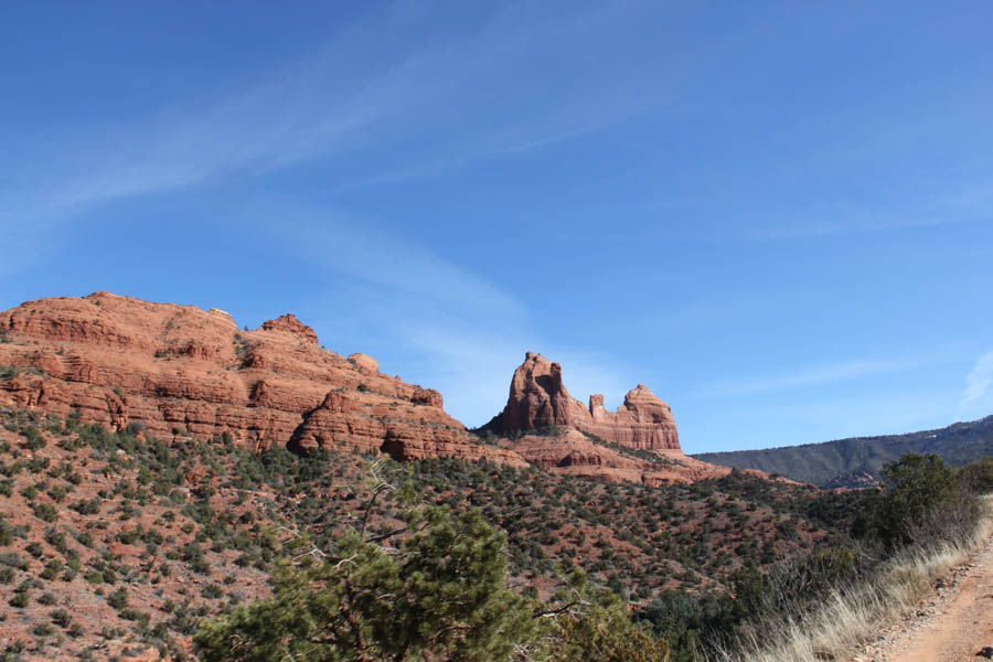
Rock formations take on all sorts of shapes in the mind!

Simply amazing
Did You Know? - Sedona is located just at the base of the Mogollon Rim, an escarpment that runs east-west through the middle of Arizona and defines the boundary between the Colorado Plateau to the north, and the Basin and Range to the south. The Mogollon Rim is about 200 miles long, and ranges between 2000 and 3000 feet in height. In the Sedona region, erosion has gradually eaten away at the rim, moving it northward a distance of about four miles and leaving behind some of the most spectacular and picturesque canyons and buttes found anywhere in the world.
The deep red color for which Sedona is famous is due to the presence of hematite (iron oxide, otherwise known as rust) that stains the sandstone of the Schnebly Hill and Hermit Shale layers.
The steepness of the terrain is due the fact that the top layers of the strata are composed of basalt and limestone, which are harder than the underlying sandstone. Water running off the edge of the escarpment eats away at the lower layers, creating the shear cliffs. Eventually enough soft material is weatherd away that it undercuts the cap layer, which subsequently breaks off in large slabs and falls into the canyons. This exposes new soft material and the process starts again, with the cliff face now twenty-odd feet further north than it was before.
Figure 1 illustrates the many layers that underly the Mogollon Rim. Not all of these layers are present in Sedona: Most of the geological features in that region range as high as the Toroweap Sandstone (and in some cases, the Kaibab Limestone), and as low as the Hermit Shale layer. Some locations in and around Sedona contain sinkholes, which are presumably due to disolution of the thick Red Wall Limestone layer, causing the higher Supai Sandstone and Hermit Shale to collapse into the void.

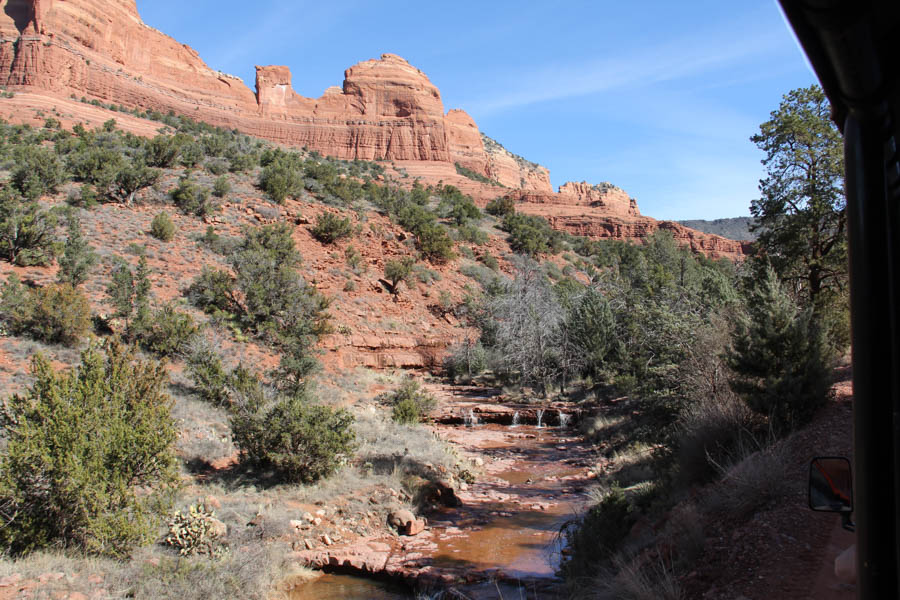
Following the water... This could get messy!

What did it look like a million years ago? Ask Hans, he is that old!

The guys begin seeing mirages behind each little hill...
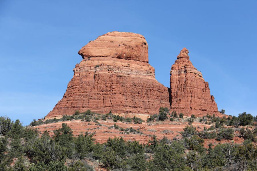
Who put the rock on the top of the pile?

Water is a powerful force of nature ...
Sorry guys... so is beer!

Poor wet noodles

"OK... Who put the bump in the bumpitty bump bump?

If you can read the sign, you are too close!

Layers upon layers.... Who wants to count them today?
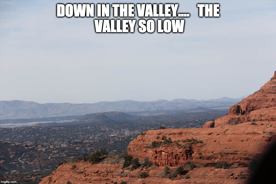
Seeing Sedona from above
Did You Know? - Evidence of human presence in the Sedona region begins around 4000 BC when hunter-gatherers roamed through the Verde Valley. As early as 300 BC the dry desert soils were being farmed by the Hohokam people, who developed systems of irrigation canals by 700 AD but then mysteriously abandoned the area, perhaps because of a regional volcanic eruption in 1066 AD.
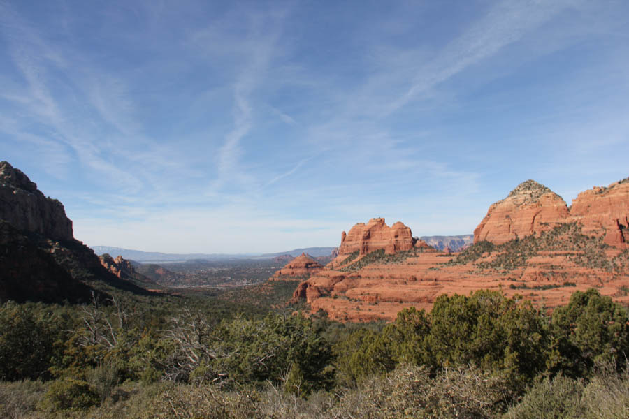
The valley seems to go forever
Did You Know? - Europeans first arrived in the region in 1583, when a group of Spanish explorers came in search of gold and silver. Following the end of the Civil War and the creation of the Territory of Arizona in 1863, homesteaders began to settle in the Verde Valley and along Oak Creek from the 1870's. The early settlers were farmers and ranchers, and Oak Creek Canyon was well known for its apple and peach orchards.

Amazing holes right into the side of the rock
Did You Know? - At an elevation of 4,500 feet (1,372 m), Sedona has mild winters and hot summers. In January, the normal high temperature is 51 degrees Fahrenheit with a low of 21. In July, the normal high temperature is 93 degrees Fahrenheit with a low of 63. Annual precipitation is around 19 inches.

What to do if an 18 wheeler comes down the road?


Everyone out... Look around... Do not pet the snakes

A majestic view of the valley

The Wild Bunch!


The entire gang..... Hisssssssss!

Back in the Hummer... Off we go!
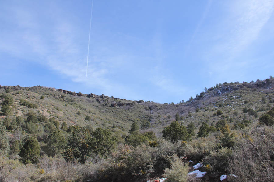
Traces of snow in the shade of the plants

Can you see the message in the rocks?

Remember we are 5,000+ feet in the air...

Riding in the lap of luxury!
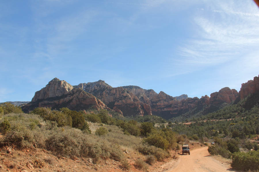
Oh dear... The end of the trail! What shall we do?
 Post jeep ride... Sitting on something soft!
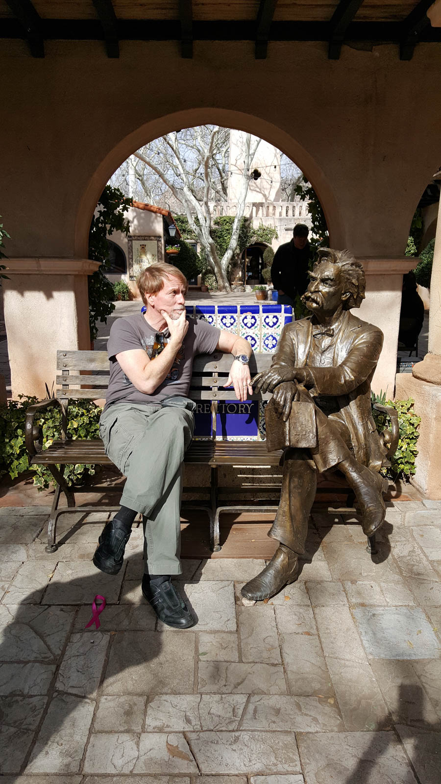
Finally, someone to talk to!

Oh dear... John may want to take him home!

Geri sneaks a little smooch (Courtesy of Curt)

Which one is which? (Courtesy of Curt)

Time for dinner (Courtesy of Curt)

What a day.... Time to crash! (Courtesy of Curt)

"Yes... Beer in a paper cup!" (Courtesy of Curt)

Did You Know? - Hans learned a new word during the weekend: oblivious. Curt used it first while describing on of our group whom he thought was unaware of what the rest of us were doing. Every day Hans would ask us to repeat that word. Toward the end of the trip we were using it often, usually as a descriptor for other drivers on the road. It became a joke.
2/16/2017 - Heading for Home
A quick six hours and we are home again... Time for a beer and a visit with Archie!
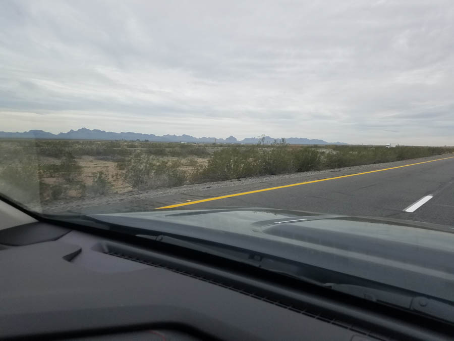
The telephone poles look like picket fences

"Are we there yet... I have to tinkle... Hans hit me...."
Voices form the back seat!
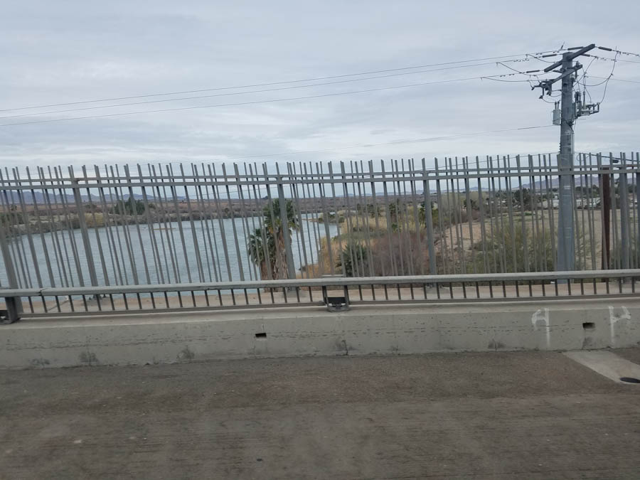
Over the mighty Colorado River... California is right ahead!

California State Line 150 feet away!


