Two Days At Sea And Then South Georgia (Page Six)
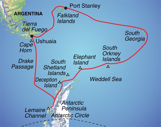
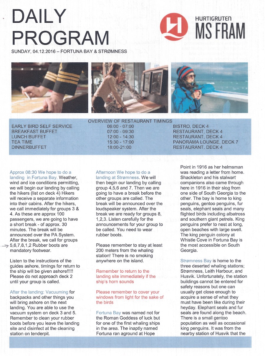
We sailed the Scotia Sea for a day moving toward South Georgia Island. We visited Fortuna Bay and Stromness. Almost two days rocking and rolling across the bounding main!


The Scotia Sea is bounded by several islands
Did You Know? - The Scotia Sea is a sea located at the northern edge of the Southern Ocean at its boundary with the South Atlantic Ocean. It is bounded on the west by the Drake Passage and on the north, east and south by the Scotia Arc, an undersea ridge and island arc system supporting various islands. The sea sits atop the Scotia Plate. Named after the expedition ship Scotia.
The Scotia Sea is the area of water between the Drake Passage, Tierra del Fuego, South Georgia, the South Sandwich Islands, the South Orkney Islands and the Antarctic Peninsula. These island groups all sit atop the Scotia Arc, which frames the sea on the north, east, and south. The Scotia Sea covers an area of about 900,000 km2 (347,500 sq mi). About half of the sea stands above the continental shelf.
Named in about 1932 after the Scotia, the expedition ship used in these waters by the Scottish National Antarctic Expedition (1902–04) under William S. Bruce. The most famous traverse of this frigid sea was made in 1916 by Sir Ernest Shackleton and five others in the adapted lifeboat James Caird when they left Elephant Island and reached South Georgia two weeks later.


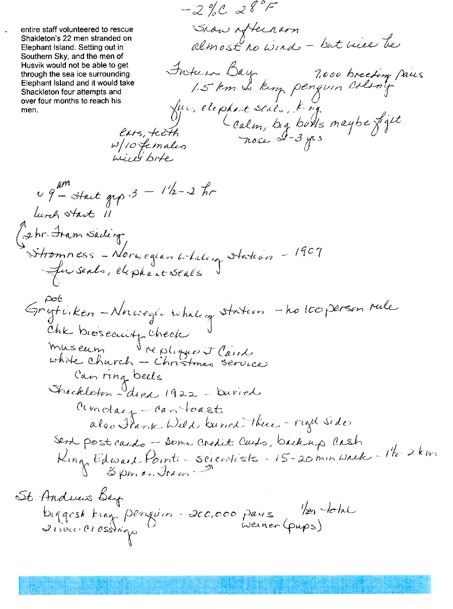
Always taking good notes!

After two days at sea, it was nice to see land... albeit barren with only a few people and much wildlife!
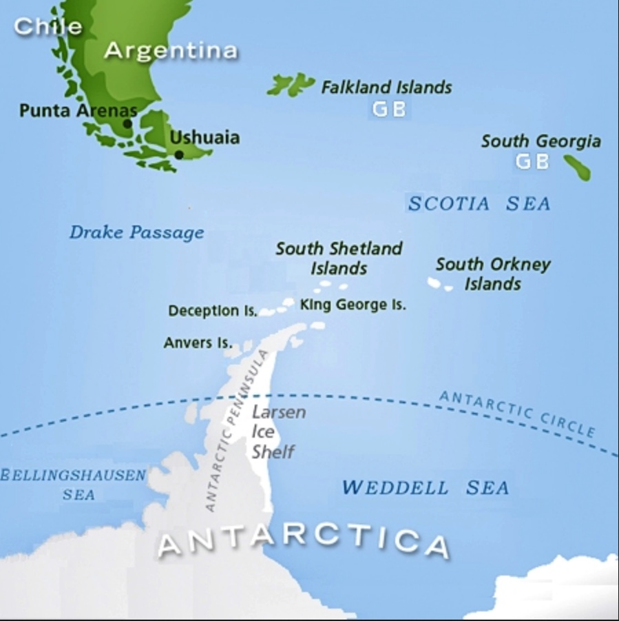
Why is it cold there... Just a hop, skip, and a
jump from the Antarctic Circle!

A day at sea... Means food, food, and more food!
Did You Know? - South Georgia is an island in the South Atlantic Ocean that is part of the British Overseas territory of South Georgia and the South Sandwich Islands. The main settlement is Grytviken. South Georgia is 167.4 kilometers (104 mi) long and 1.4 to 37 km (0.9 to 23.0 miles) wide. It is about 830 km (520 mi) north-east of Coronation Island and 550 km (340 mi) north-west from Zavodovski Island, the nearest South Sandwich island.
The Island of South Georgia is said to have been first sighted in 1675 by Anthony de la Roché, a London merchant, and was named Roche Island on a number of early maps. It was sighted by a commercial Spanish ship named León operating out of Saint-Malo on 28 June or 29 June 1756.

We have arrived and the day was spectacular
Did You Know? - Fortuna Bay is a bay 3 miles (5 km) long and 1 mile (1.6 km) wide, entered between Cape Best and Robertson Point, near Atherton Peak on the north coast of South Georgia. It was named after the Fortuna, one of the ships of the Norwegian–Argentine whaling expedition under C.A. Larsen which participated in establishing the first permanent whaling station at Grytviken, South Georgia, in 1904–05.
Ocean Harbour 22 miles (35 km) to the south east, was formerly known as "New Fortuna Bay".
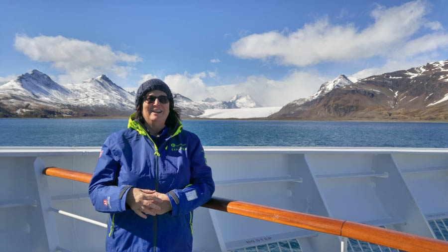
Tis' a bit chilly
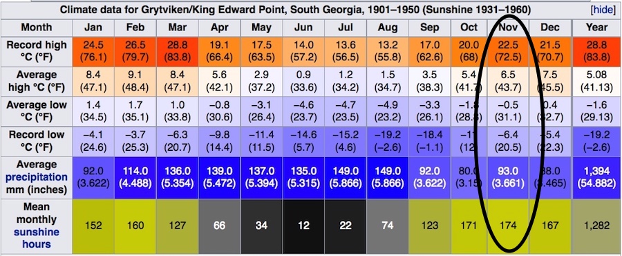
Now we know why!
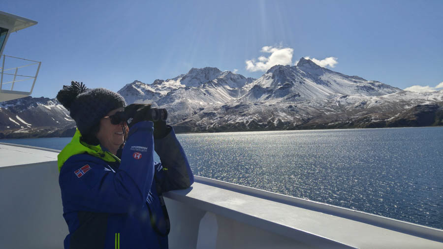
"I see our destination!"
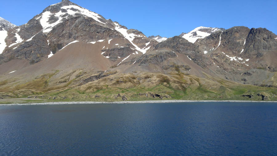
"I think I see birds on the shoreline!"
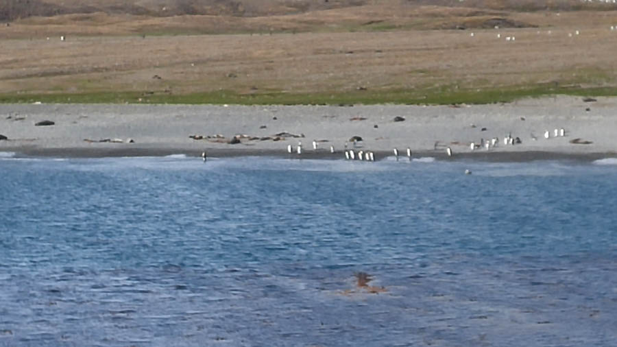
The welcoming committee

Our ship maneuvers close to shore... Must take the lifeboats (which are actually called Zodiacs) ashore
Did You Know? - Zodiac Nautic is a French company best known for their widely used inflatable boats.
Zodiac Nautic finds its origins in the “Zodiac airships and aviation French company”, specialized in the production of airships. In the 1930s Pierre Debroutelle, one of its engineers, invented one of the first prototypes of inflatable boats for the Aéronavale, who were looking for innovative and easy solution for military transport. This change from air to sea brought worldwide recognition to Zodiac. In the 1960s, the company turned to the leisure industry to accommodate the “vacationers” and their growing interest in recreational boating. With a history of unrivalled experience, Zodiac Nautic’s origin is closely tied to all major innovations in the sector of inflatable boats.

Great view from all over the ship
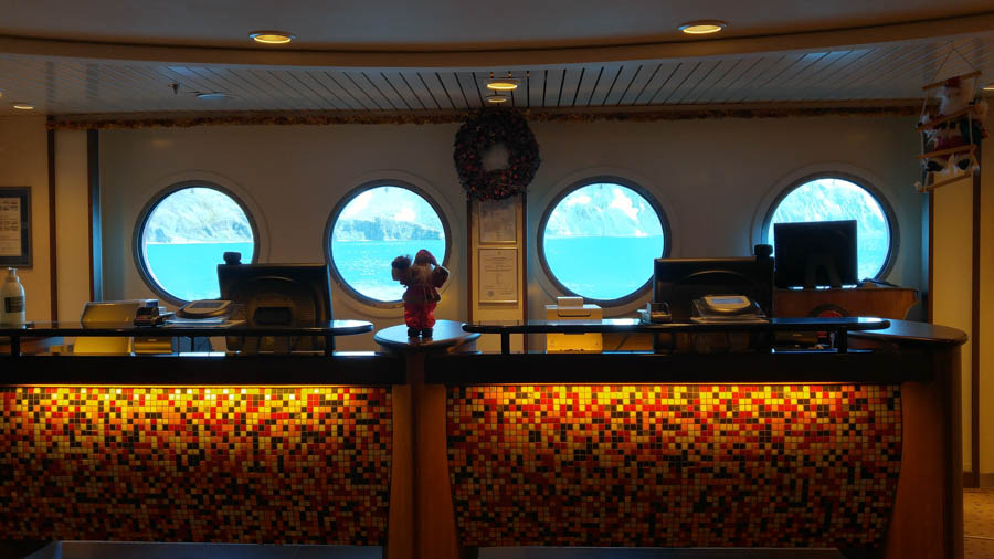
Looks like an aquarium from inside


Penguins and seals everywhere

Enjoying the heat of the day
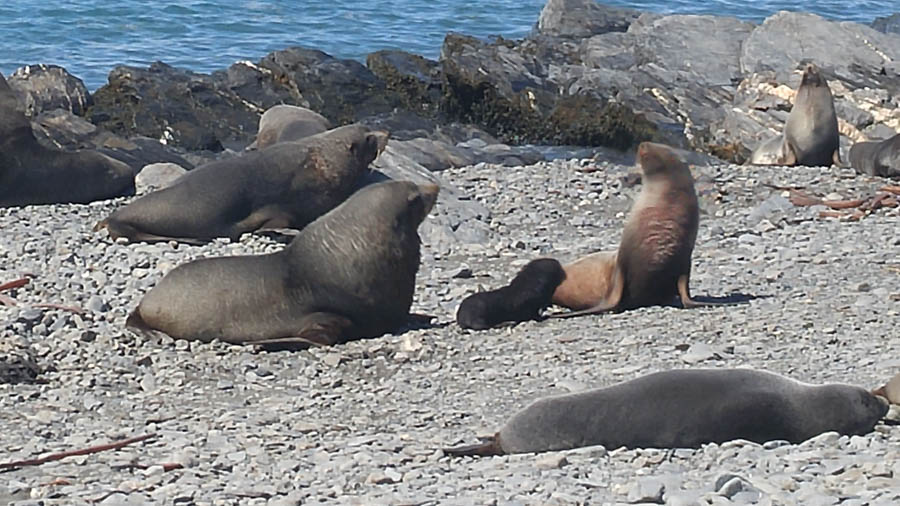
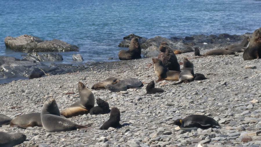
Good sized animals - also see the baby seal

Just ignores the humans
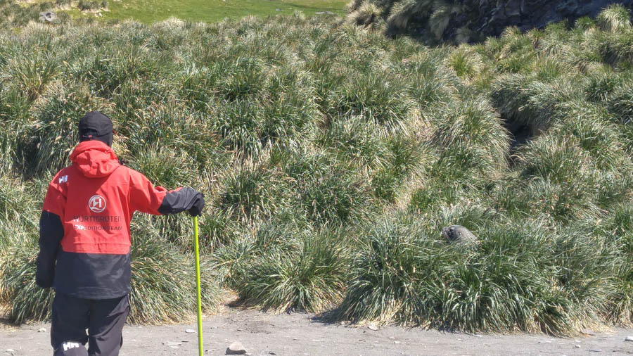
Lots a greenery just across the beach - Notice the seal in the grass to the right in the picture. The guides watched for the seals because they might become aggressive if we got too close. And if they started moving the guide would use the yellow pole to control them

Our ship stayed fairly close
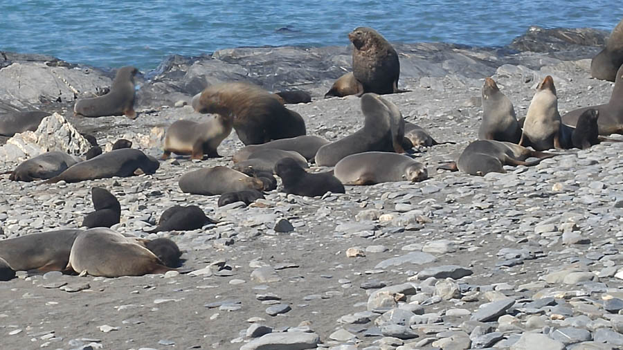
Z-z-z-z-z-z-z-z-z-z Lots of babies taking their naps

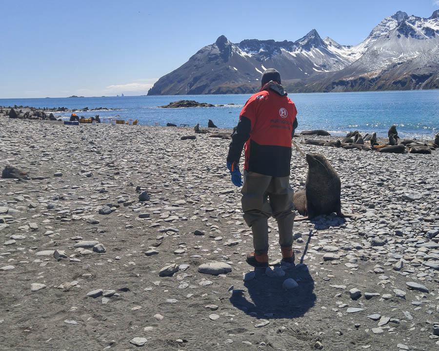
Up too close perhaps? - This shows how the guides controlled the seals - stick to nose

Right off the ship!
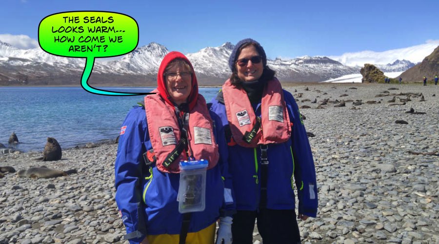 />
/>
"Ladies... Two inches of blubber really works!"
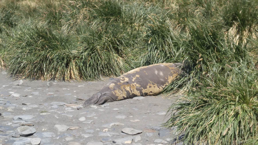
Interesting - This is a molting elephant seal,- also need to be careful around since when molting they can be aggressive - wouldn't you?
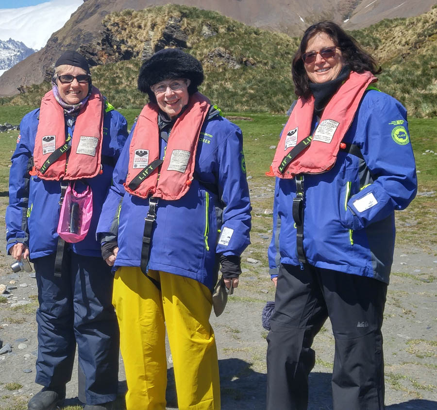
Looking good in the outback!

Resting
Did You Know? - Standing more than 3ft tall, king penguins are among the largest of the world’s 17 species of penguin. They are particularly beautiful birds, with a speckled slate-grey back, a glistening white front, a jet-black head and an orange and gold neck and throat. With hundreds of thousands of them milling around at the back of a single beach, you’d expect them to be the commonest birds on South Georgia. But they aren’t. Not even close. Altogether, there are no fewer than 50 million seabirds and more than five million seals crammed on to this island – no bigger than Essex – and the place is literally heaving with wildlife.

Looking quite dapper in his tux

The boats run back and forth from the "mother ship"

Beautiful
Did You Know? - A chunk of the Andes that wandered into the southern Atlantic some 50 million years ago and this island was born. The 100-mile spit of land is so isolated that it creates its own weather system, but despite—or perhaps because of—its ruggedness, it’s also a holy grail.
Located 1,300 miles east of Tierra del Fuego in the South Atlantic Ocean, a combination of underwater topography and converging currents produce rich seas that support some of the most populous seal, penguin, and seabird colonies on the planet.
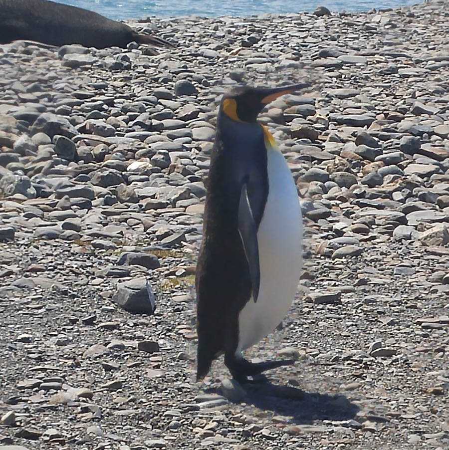
The sheriff is in town!

Oh deer... Reindeer!
Did You Know? - The need to eliminate reindeer came to a head with the plan to eliminate rats in South Georgia. Reindeer would affect this by eating the poisoned bait intended for the rats, which would also cause undue suffering to the deer. It is therefore necessary to remove the reindeer before the rats. The Norwegian report gives ample reason for getting rid of the reindeer, with photos showing extreme damage to the vegetation. It also shows how exclusion cages that prevent grazing allow the vegetation inside to recover quickly.
Reindeer were introduced to South Georgia in 1911 by Norwegian whalers for meat and for sport hunting. In February 2011, the authorities announced that due to the reindeer's detrimental effect on native species and the threat of their spreading to presently pristine areas, a complete cull would take place, leading to the eradication of reindeer from the island. The eradication began in 2013 with 3,500 reindeer killed. Nearly all the rest were killed in early 2014, with the last (about 50) cleared in the 2014/15 southern summer.

Staff meeting underway

Rugged!

The penguins keep an eye on this ship
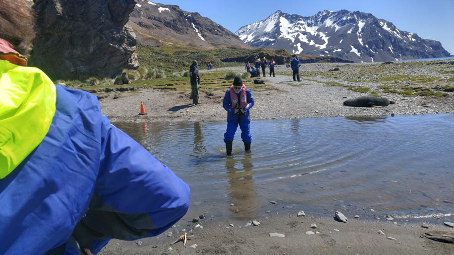
Water was running from the mountains due to the winter snow packs

We had to walk carefully

Someone got a new tux shirt!
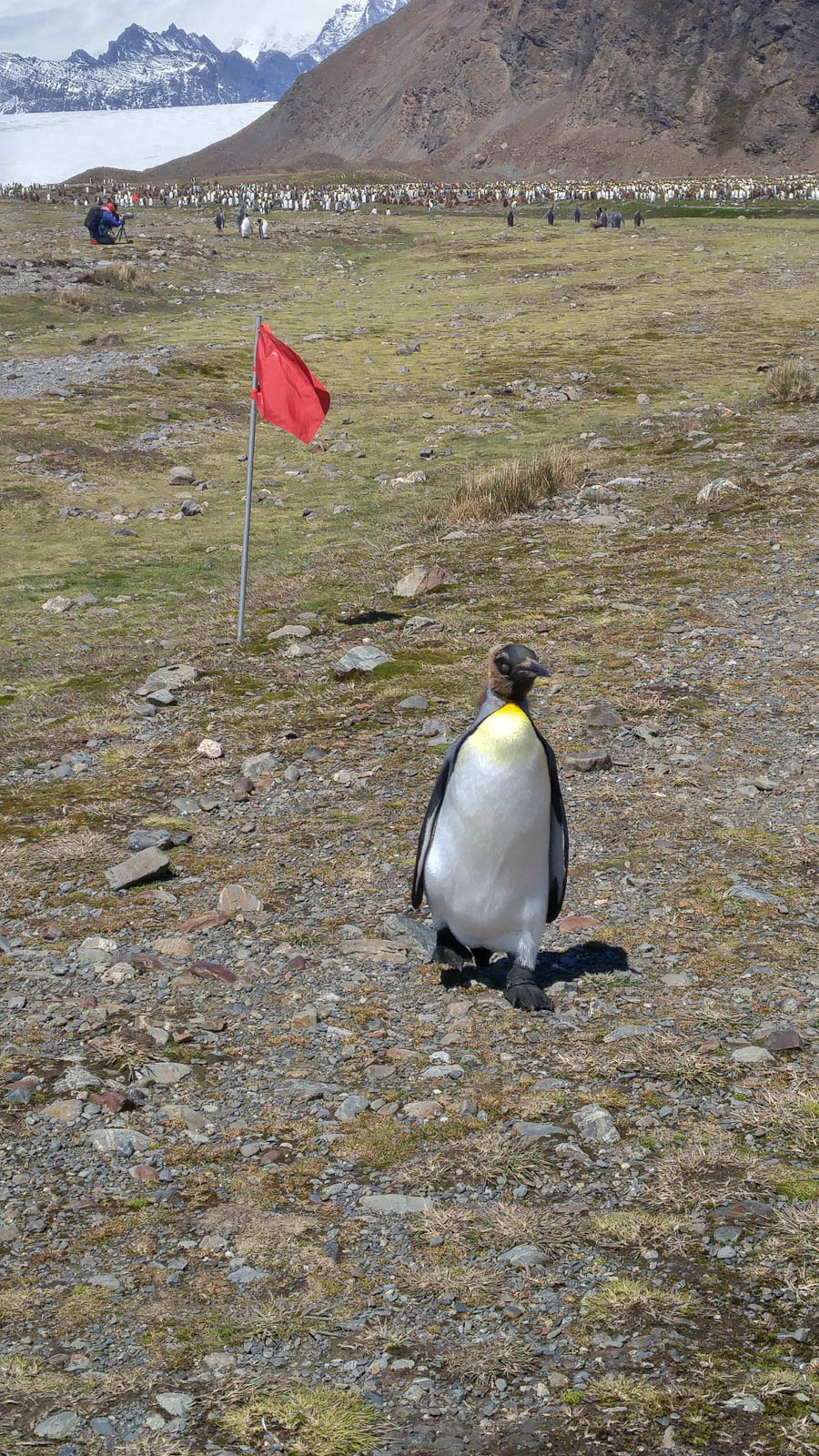
Golf anyone?
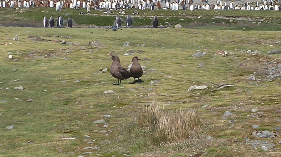
What are we doing here? We can fly away!

The brown guys are yet to mature - When they get this size they are put into "nurseries", so can be watched while the parents would go find food
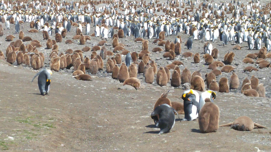
Thousand and thousands!
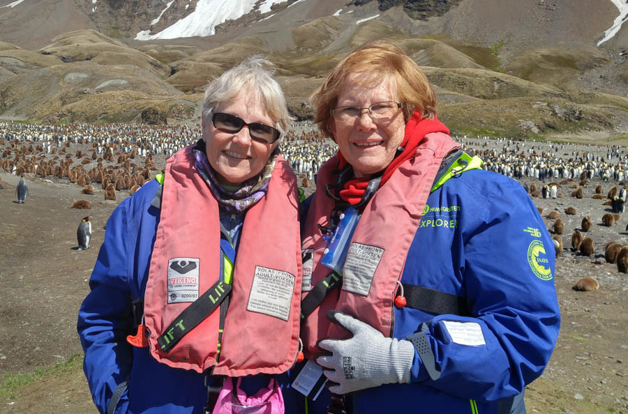
Enjoying the day
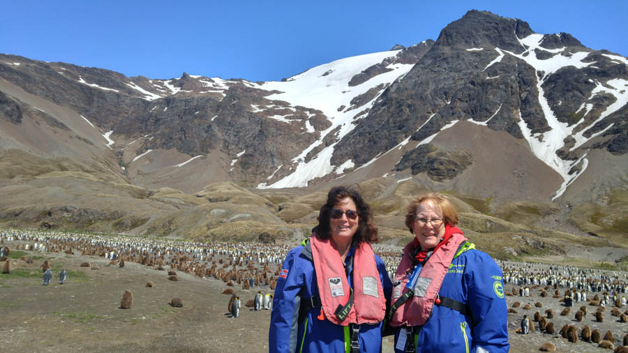
The birds were a bit loud

Size does matter!
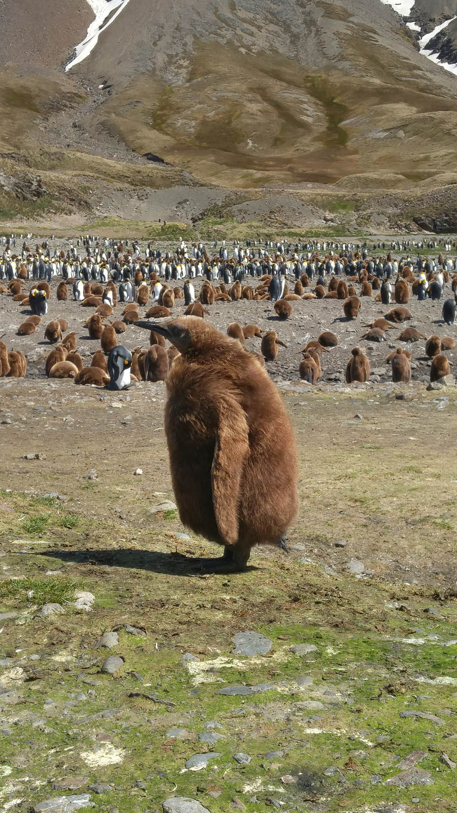
I'm just a baby

This area will be snowed over in a few months...


"It's not as easy as it looks"
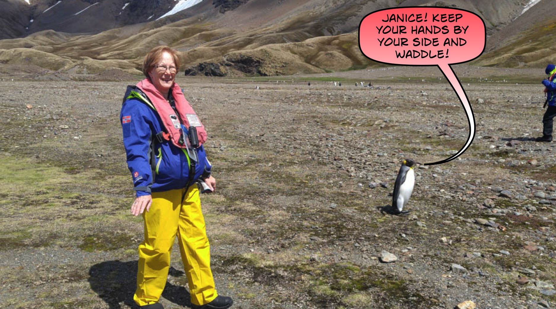
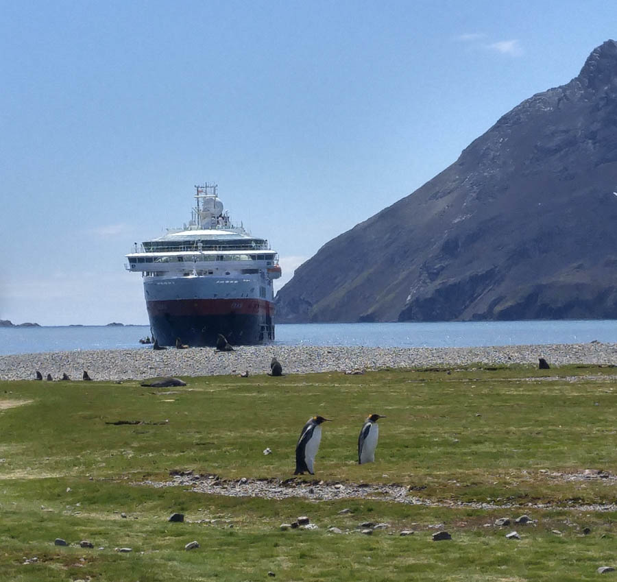
Our ship seems to be moving closer to shore
We better head back!

Just enjoying life

On a mission

Living in peace

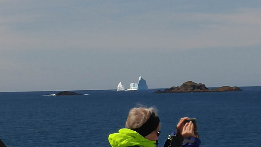
A small ice berg appears to heading to the bay
I
think this may be our first iceberg

We are heading to a new safe harbor
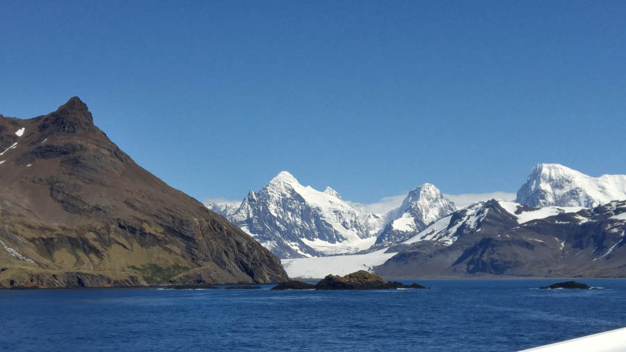
Around the corner is a new adventure - In back, you can see the glacier coming down

Civilization? Nope! Stromness Whaling Station
Did You Know? - Stromness is a former whaling station on the northern coast of South Georgia Island in the South Atlantic. It was the destination of Ernest Shackleton's rescue journey in 1916.
It is the central of three harbours in the west side of Stromness Bay, South Georgia. The name "Fridtjof Nansen" or Nansen appeared for this harbour on some early charts, but since about 1920 the name Stromness has been consistently used.
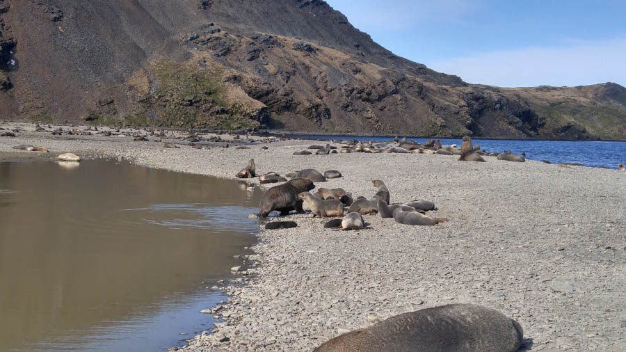
A nice walk around the bay reveals the old whaling station
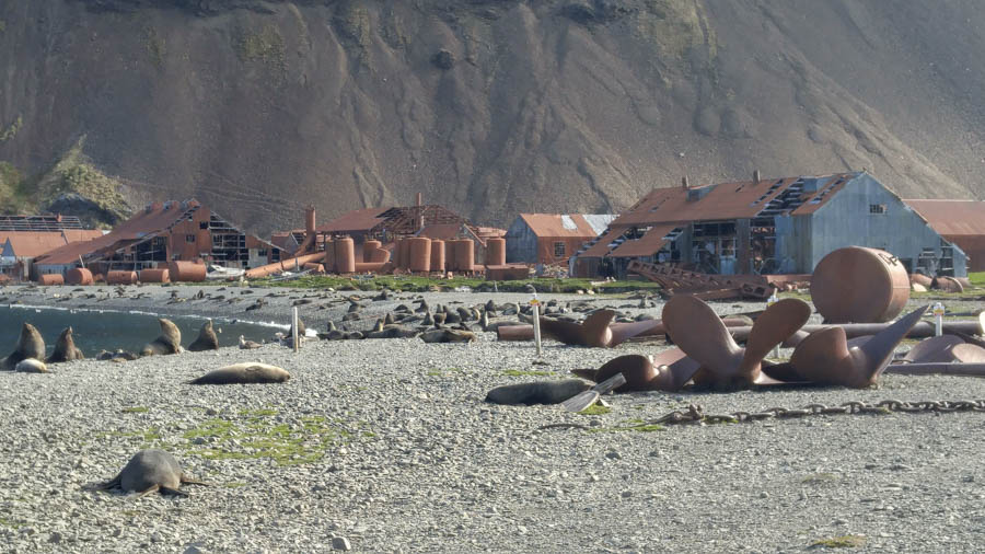
Large facility for 100+ years ago
Did You Know? - n 1907 a "floating factory" was erected in Stromness Harbor; the land station being built in 1912. From 1912 until 1931 Stromness operated as a whaling station, the first manager of which was Petter Sørlle. In 1931 it was converted into a ship repair yard with a machine shop and a foundry. It remained operational until 1961 when the site was abandoned.
Historical and modern settlements of South Georgia Island.
In 1916, Ernest Shackleton and a small crew landed on the unpopulated southern coast of South Georgia at King Haakon Bay after an arduous sea voyage from Elephant Island in the 22-foot (6.7 m) lifeboat James Caird. Shackleton, along with Tom Crean and Frank Worsley, then trekked across South Georgia's mountainous and glaciated interior in an effort to reach help on the populated northern shore of the island.
After 36 hours of crossing the interior they arrived at the Stromness administration center which also was the home of the Norwegian whaling station's manager. This building has been dubbed the "Villa at Stromness" because it represents relative luxury compared to its surroundings. All men were rescued from Elephant Island.
In the decades following its closure, Stromness has been subject to damage from the elements and many of its buildings have been reduced to ruins. However, recent efforts have been made to restore the "Villa" and clean up debris from the rest of the site in order to make it safe for visitors. Outside of Stromness is a small whalers' cemetery with 14 grave markers.

We kept our distance
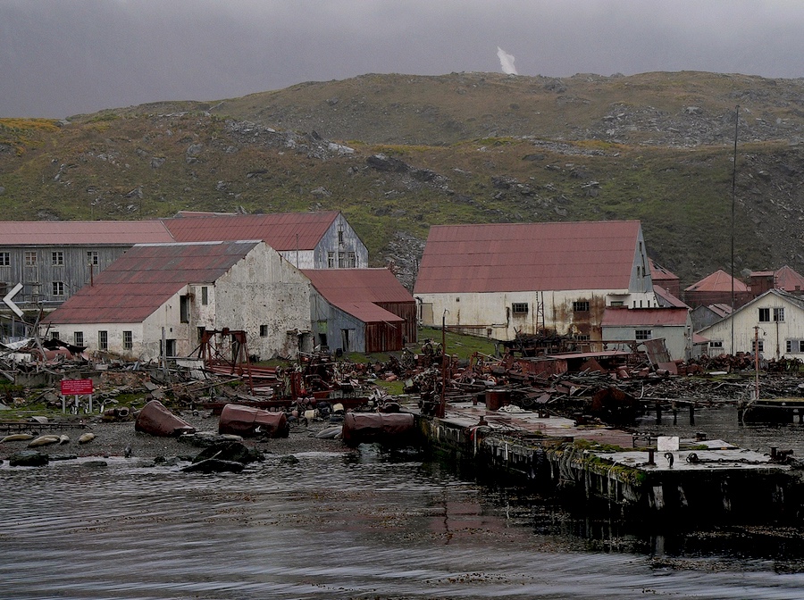
Quite a collection of junk!

Poor baby is so tired from resting!
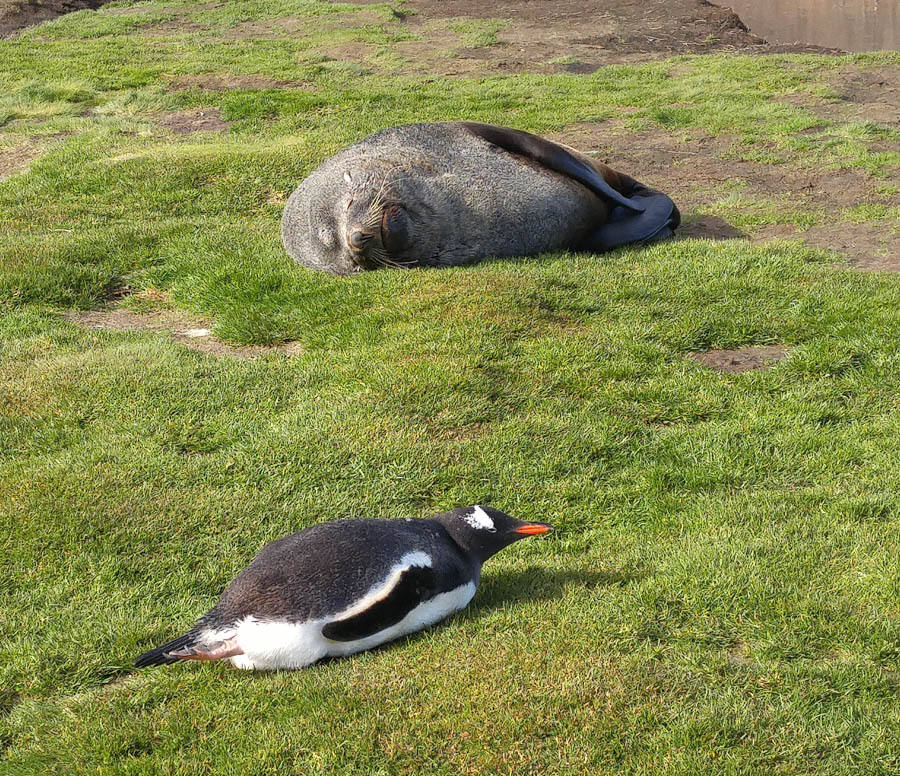
Getting along!

Walking was not easy for us!

A short walk up the canyon reveals many waterfalls
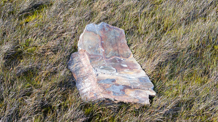
Load of debris from the ocean

The runoff created many small streams - Some people from our ship where dropped off at Fortuna Bay and they hiked over the mountain to Stromness in the footsteps of Shackleton - this is a view of where they came down.
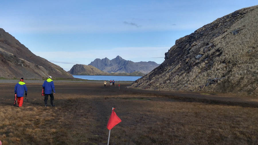
Back to the ship
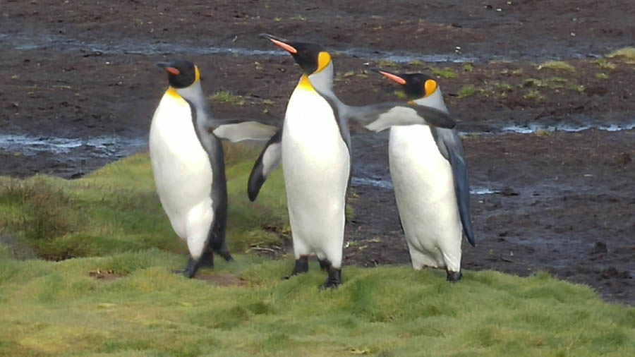
Larry, Moe, and Curly Joe wave bye
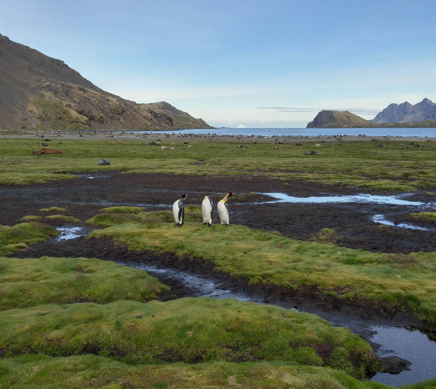
On their own little stage

They read the signs
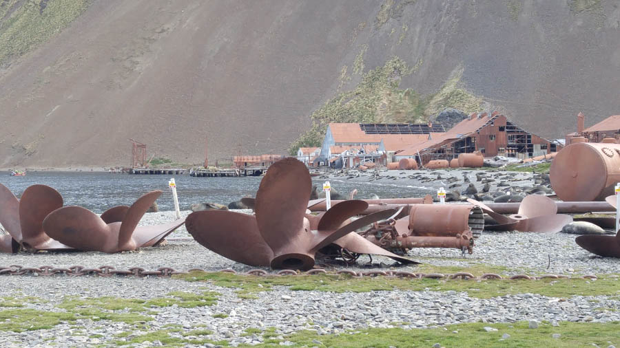
Lots of iron... The facility is getting cleaned up to make it safe for visitors
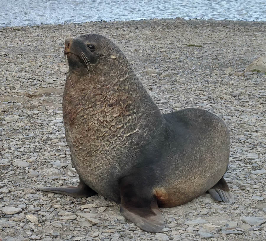
"Just call me Pudgy"

The pups are safe with Mommy


