Day Ten October 18th - Cape Town South Africa (Page Nine)
We are off to Cape Town and will spend the day at the Cape Of Good Hope down on the penninsula!
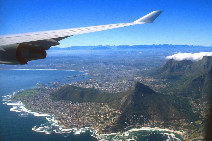
Flying in over Lion's Head and Signal Hill

A beautiful city indeed
Did You Know? - Cape Town (Afrikaans: Kaapstad [ˈkɑːpstat]; Xhosa: Ikapa) is a coastal city in South Africa. It is the second-most populous urban area in South Africa after Johannesburg. It is also the capital and primate city of the Western Cape province.
As the seat of the Parliament of South Africa, it is also the legislative capital of the country. It forms part of the City of Cape Town metropolitan municipality. The city is famous for its harbour, for its natural setting in the Cape Floristic Region, and for such well-known landmarks as Table Mountain and Cape Point. As of 2014, it is the 10th most populous city in Africa and home to 64% of the Western Cape's population.
It is one of the most multicultural cities in the world, reflecting its role as a major destination for immigrants and expatriates to South Africa. The city was named the World Design Capital for 2014 by the International Council of Societies of Industrial Design.
In 2014, Cape Town was named the best place in the world to visit by both the American New York Times and the British Daily Telegraph.
Located on the shore of Table Bay, Cape Town was first developed by the Dutch East India Company as a victualling (supply) station for Dutch ships sailing to East Africa, India, and the Far East.
Jan van Riebeeck's arrival on 6 April 1652 established the first permanent European settlement in South Africa. Cape Town quickly outgrew its original purpose as the first European outpost at the Castle of Good Hope, becoming the economic and cultural hub of the Cape Colony. Until the Witwatersrand Gold Rush and the development of Johannesburg, Cape Town was the largest city in South Africa
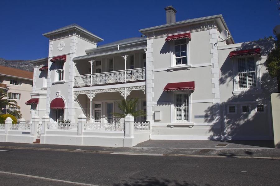
The Underberg Guest House
Did You Know? - As one of Cape Town’s oldest and finest guest houses, built in the 1860s, the Underberg Guest House lies nestled against the majestic backdrop of Table Mountain. It has recently been lovingly restored and tastefully renovated to reflect the grace and elegance of this Historic Victorian-style house.
Perfectly located, the Underberg is a five-minute drive from many must-see attractions, including some of Cape Town’s finest beaches, hikes over Table Mountain and the shopping magnets of the V&A Waterfront and Green Market Square. The famous Stellenbosch, Franschhoek and Paarl Winelands are also only a scenic 25 minute drive away.

On a nice quiet street but close to downtown

We are on our way to the Cape Of Good Hope

Heading south...
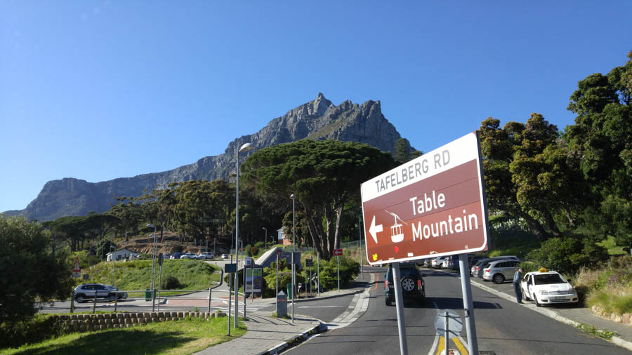
Table Mountain Aerial Cableway (Which we will visit later) has
something for everyone,
which is why it has attracted more than
25-million visitors since its opening in 1929.
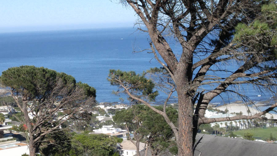
On our way to the Cape Point
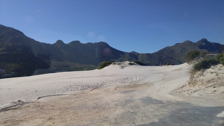
The cape is generally cool and windy


Simply beautiful... Laid back
Did You Know? - Hout Bay is a quaint coastal town about a half-hour's drive from Cape Town, which gets its name from the Afrikaans 'houtbaai', meaning 'Wood Bay'. The area supplied the Dutch colony with wood during the 1650s that was used to help build Cape Town.
When the Dutch established a colony in Table Bay in 1652, a great quantity of good timber was required for construction, shipbuilding and other purposes. There was no large forest in the immediate vicinity of the settlement, mainly because the rainfall was not high enough. It was soon apparent that the colonists would be able to fell wood they needed in the wetter valley that lay on the other side of a low pass (called Constantia Nek) between the southern end of Table Mountain and Constantiaberg.
The area was originally made up of two farms, which were slowly subdivided to make way for urban expansion. While still maintaining its rural atmosphere, the area of Hout Bay has more than 12,000 residences inhabited by a population of about 42,000 people

The village was peaceful and quiet
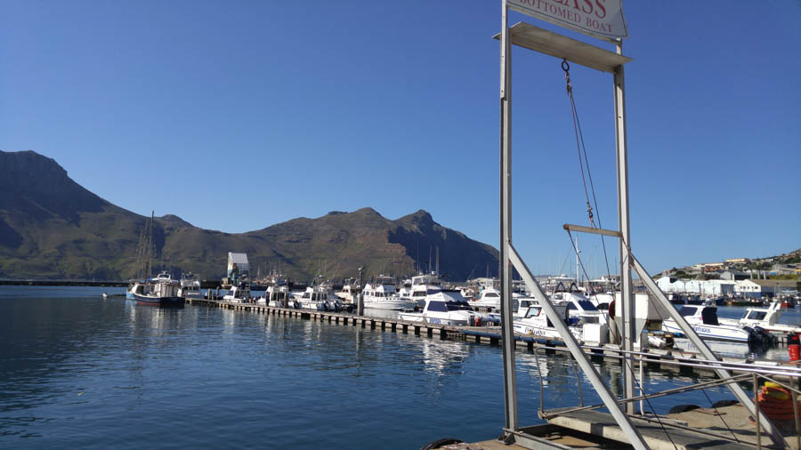
Work and pleasure boats intermix

We had visitors

porpose and seals seem to enjoy each others company!
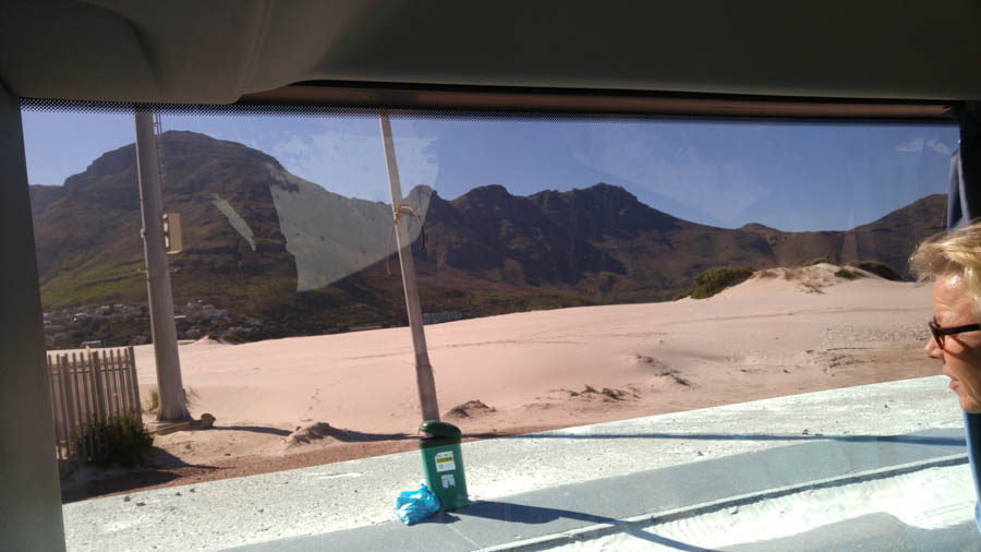
In the bus and time for a drive and see the scenery

The world-famous Chapman's Peak Drive is carved out of the mountainside and leads towards Noordhoek and onwards to Cape Point.

Indeed carved right out of the rock!
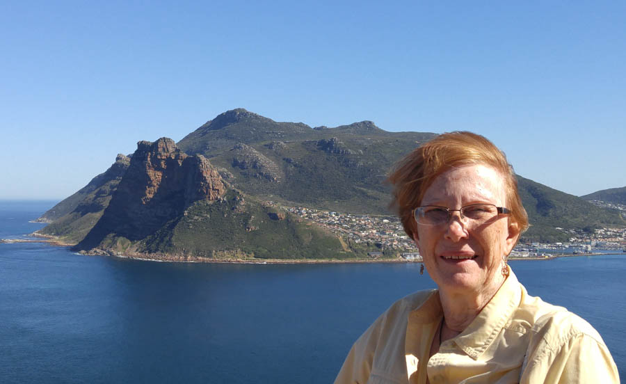
Quick scenic view stop... Note the wind!
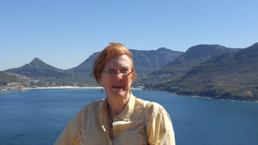
Hout Bay in the background

Getting in the act!

A nice bus ride to the next scenic viewpoint
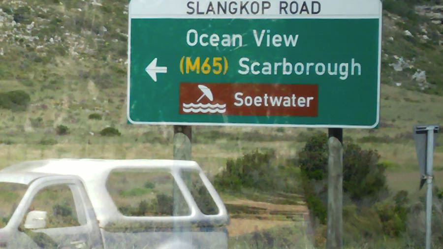
To the sea via the scenic route

Click for full sized image of Scarborough

Through the countryside

The ocean suddenly appears

Wildlife abounds

Seems they will eat anything!

What could it be? An ostrich farm?

Did You Know? - The Cape Town Ostrich Farm was established in 1996 and turned into an ostrich breeding farm by the vision of Angelika Coelle.
The 65ha* farm was undeveloped and only the ruins of the 19th century Cape Dutch style buildings were visible underneath the growth of many years.
Dr. Coelle and his wife Angelika had a vision and within the year they had accomplished to turn the dormant land into a natural landscape breeding farm.
The family run business has passed into the 2nd generation and is now managed by their daughter Catherina.
* Hectare (ha) more ... A hectare is a unit of area equal to 10,000 square meters. Usually used to measure land. A square 100 meters on each side has an area of 1 hectare.

You can go for an ostrich ride should you like

"Hello there"

A few more minutes and the sea appears!

Slangkop Point Lighthouse is almost 100 years old!
Did You Know? - Slangkop Point lighthouse near Kommetjie in Cape Town is the tallest cast-iron lighthouse along South African shores.
Before its lamp was officially lit in March 1919, many seafaring vessels had run afoul of the rocky coastline from Cape Town to Cape Point.
One of the most remarkable shipwrecks in the area was, however, possibly the gentlest of them all.
In May 1900, a 1000-ton steamer named the Kakapo (after a large, rare, nocturnal parrot found in New Zealand) was on her maiden voyage from Wales to Australia. After stopping over at Table Bay for fuel and supplies, it sailed down the Cape Peninsula coast in a blustering storm.
The Slangkop Point lighthouse became fully automated in 1979, but is still one of the few lighthouses in the world to be manned by a light-keeper – known these days as a ‘lighthouse officer’.

Did You Know? - Operational since 4 March 1919. This is the tallest cast iron tower on the South African Coast, 100 feet from base to its balcony. The lighthouse is equipped with a revolving electric light that emits four flashes very 30 seconds. Not all the flashes are visible with each revolution from any one point. It is one of 4 strongest lighthouses in Southern Africa with a range of 33 sea miles. The light has an approximate candlepower of 5,000, 000 C.D. The lighthouse is a 33 meter circular cast iron tower, painted white. The focal plane of the light is 41 meters above high water which means it often remains visible below dense mist.

The wind is getting more forceful as we drive
south to the end of the peninsula!

The wild brush is sturdy!

Lots of moisture form the sea
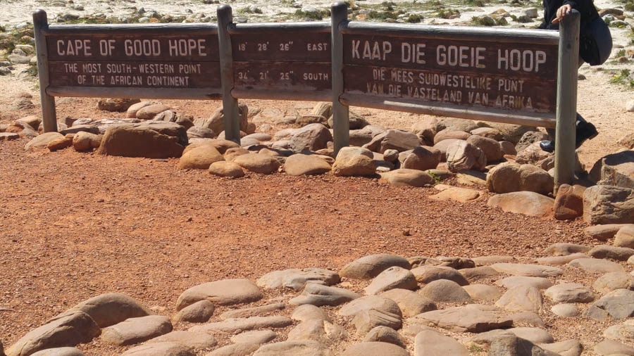
We made it!
Did You Know? - The Cape of Good Hope (Afrikaans: Kaap die Goeie Hoop, Dutch: Kaap de Goede Hoop , Portuguese: Cabo da Boa Esperança ) is a rocky headland on the Atlantic coast of the Cape Peninsula, South Africa.
A common misconception is that the Cape of Good Hope is the southern tip of Africa. This misconception was based on the misbelief that the Cape was the dividing point between the Atlantic and Indian Oceans. Contemporary scientific knowledge instead states the southernmost point of Africa is Cape Agulhas about 150 kilometres (90 mi) to the east-southeast. The currents of the two oceans meet at the point where the warm-water Agulhas current meets the cold water Benguela current and turns back on itself.

Did we say wind?
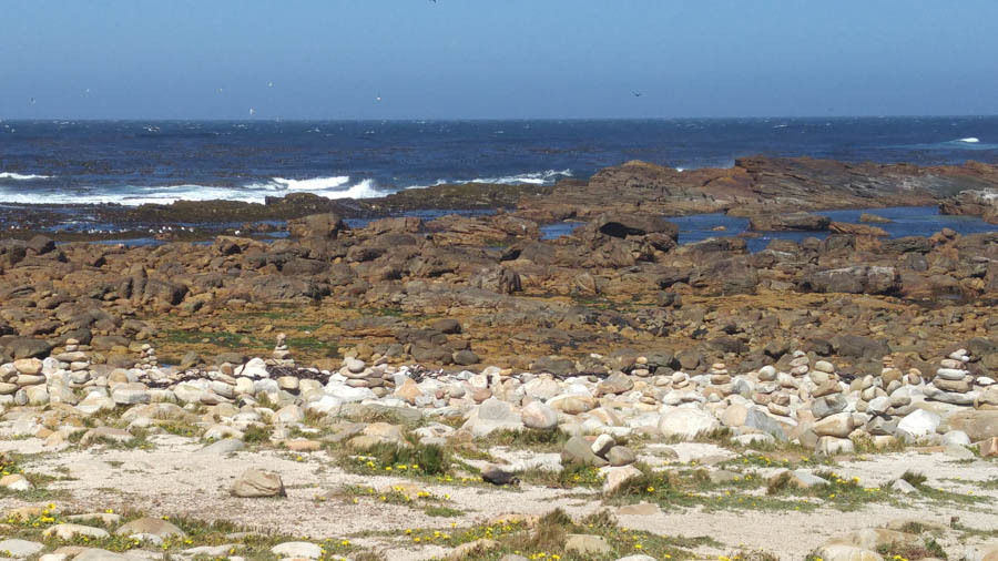
Rocky and desolate
Did You Know? - With its diverse habitat, ranging from rocky mountain tops to beaches and open sea, the Cape of Good Hope is home to at least 250 species of birds including one of the two mainland colonies of African penguins.
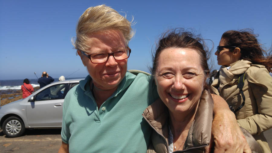
Hair going every which direction!

It's amazing how they survive
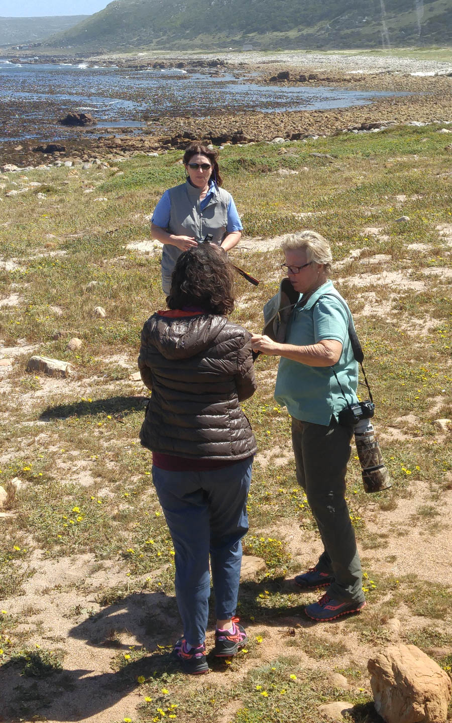
The brave ones
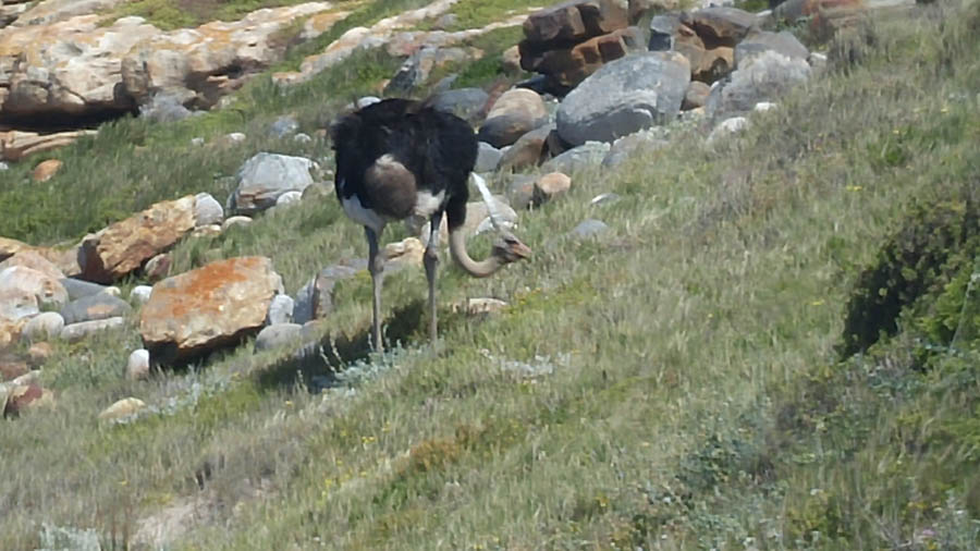
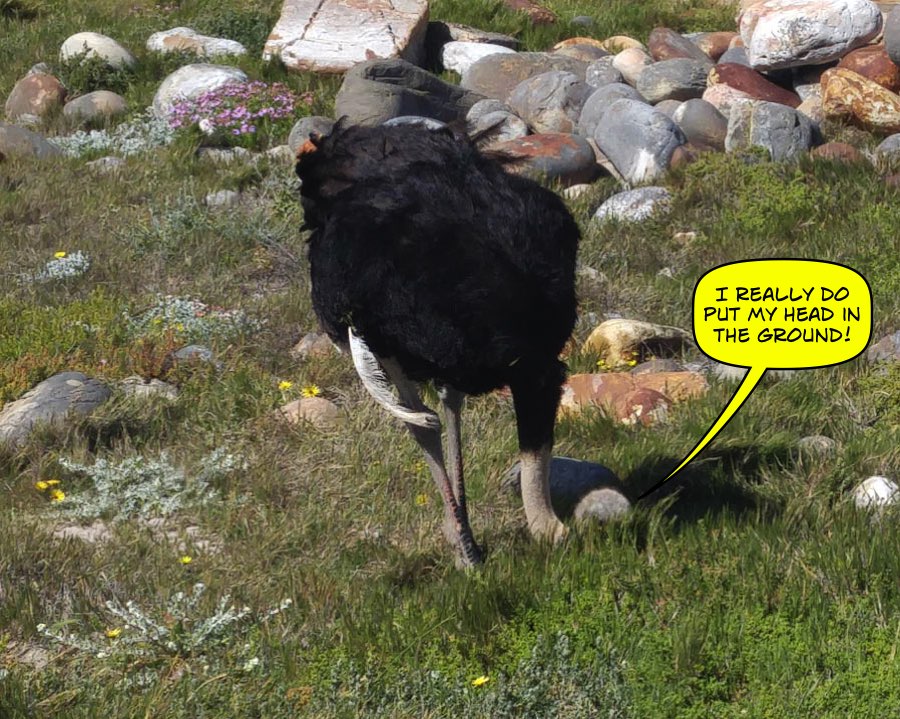
Wild ostriches are in the area looking for food!

Notice the rocks are smooth!
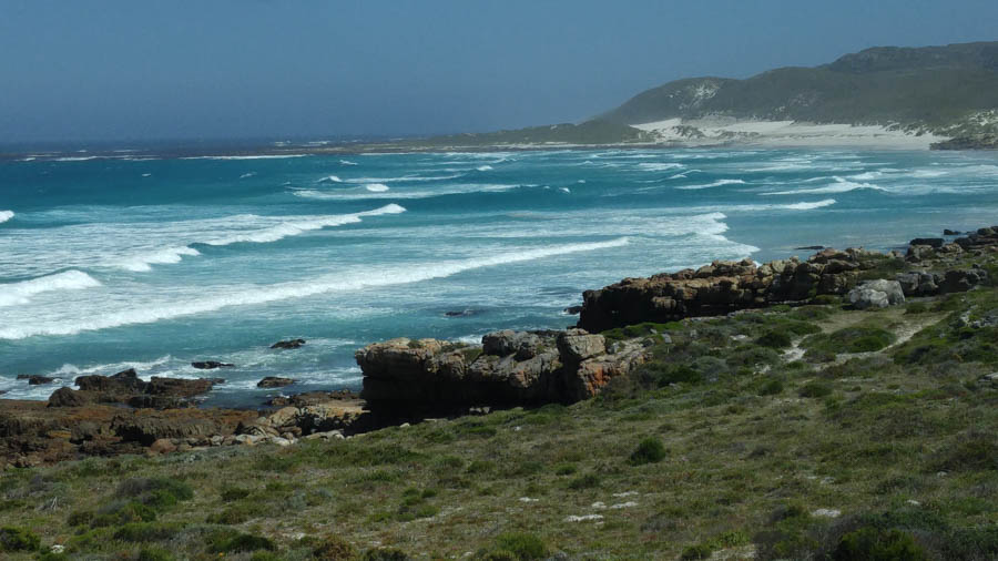
The water gets a good churning with the winds and currents
Did You Know? - The Cape of Good Hope is the legendary home of The Flying Dutchman. Crewed by tormented and damned ghostly sailors, it is doomed forever to beat its way through the adjacent waters without ever succeeding in rounding the headland.

Some folks live right on the cape...

Next stop - Cable Car


No kidding!
Did You Know? - Cape baboons have been eliminated from the majority of their range across the Cape Peninsula, and the Cape of Good Hope section of Table Mountain National Park provides a sanctuary for the troops that live within its boundaries. It provides relative safety from nearby towns, where people have killed many baboons after the baboons raid their houses looking for food.
Chacma baboons (Papio ursinus) are the mammals most intimately associated with the Cape of Good Hope. Baboons inside the Cape of Good Hope section of the park are a major tourist attraction. There are 11 troops consisting of about 375 individuals throughout the entire Cape Peninsula.

To the Funicular

Don't ask... Don't tell!

A modern car... These days Visit their website
Did You Know? - The Flying Dutchman Funicular, also known as the Cape Point Funicular, is a funicular railway located at Cape Point. It is believed to be the only commercial funicular of its type in Africa, and takes its name from the local legend of the Flying Dutchman ghost ship.
The line runs from a lower station at the Cape Point car park, up an incline through dense fynbos to the upper lighthouse. The funicular leaves from the lower station every three minutes, comfortably accommodates 40 passengers per car, and can transport 450 persons to the upper lighthouse per hour, making it the ideal way to whisk closer to the lighthouse even during peak times.

Here we go... Up to the lighthouse
Did You Know? - The ghostly galleon known as the Flying Dutchman has been immortalized by mariners’ accounts and by a number of sightings over the past three-and-a-half centuries. As legend has it, the Flying Dutchman was captained by a Dutchman, Hendrik van der Decken, and was headed home from Batavia (now Jakarta) to Holland in 1641. As Van der Decken approached the Cape, typically stormy weather shredded the ship’s sails and waves flooded the deck. The captain had rounded Cape Point on several occasions previously, but this time, a terrified crew implored him to turn back. He refused to submit to the elements and lashed himself to the wheel, swearing that he would sail around Cape Point, even if it took him until Doomsday.
One version of the story goes that an angel appeared on the deck and the enraged captain drew his pistol and shot her. Van der Decken’s wish to round the point was granted that night, but he and his crew were doomed to sail these waters for ever more. Over the past three-and-a-half centuries a ghostly sailing ship, that glows red in the night and has a mad, bald captain, has been sighted by a number of mariners. Those who have seen her say she lets down row-boats that approach with ghostly men aboard, desperately seeking a Good Samaritan to take their letters back home, where they haven’t been for more than 300 years. But those who entertain these approaches are doomed…

We are on our way! (Length of track: 585 meters)

The lower station is looking small! (Maximum Steepness: 16%)
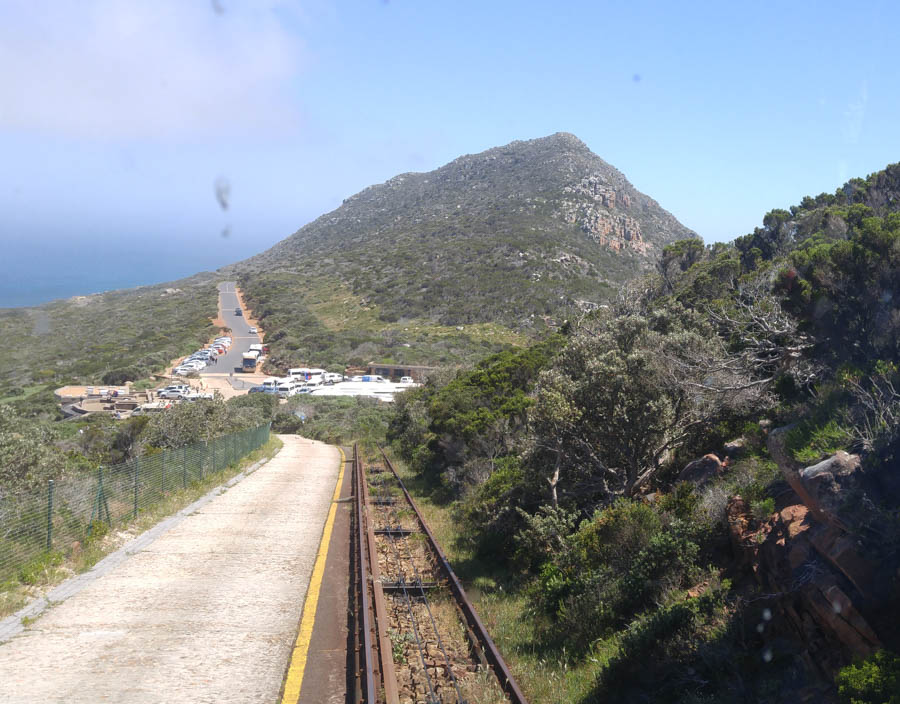
The tracks are in good shape (Travel time: 3 minutes each way)

An amazing view (Traction: Electricity)

All smiles... We are there! Time to explore!
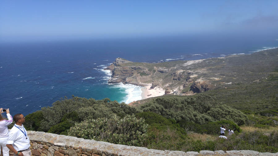
Quite a panorama of Cape Point
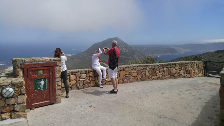
Just a few more feet to get to the lighthouse


The original (Old) lighthouse
Did You Know? - The new lighthouse is at a lower elevation (87 meters; 285.5 feet above sea level), for two reasons: the old lighthouse, located at 34°21′12″S 18°29′25.2″E (262 meters; 859.6 feet above sea level), could be seen 'too early' by ships rounding the point towards the east, causing them to approach too closely. Secondly, foggy conditions often prevail at the higher levels, making the older lighthouse invisible to shipping. On 18 April 1911, the Portuguese liner Lusitania was wrecked just south of Cape Point at 34°23′22″S 18°29′23″E on Bellows Rock for precisely this reason, prompting the relocation of the lighthouse.

"I can do it"

Today we also have radio beacons in case of bad weather

View from the top!

Static electricity or wind?

Didn't need to pack my hair dryer!
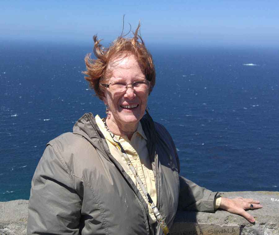
"Do you like my new doo" - Click for a short wind-blown movie

Still in good shape but not being used
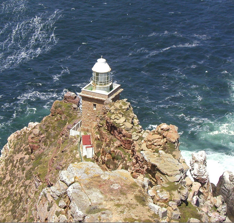
The new lighthouse is closer to the water and the brightest in all
of South Africa... 10,000,000 candle power on each flash!
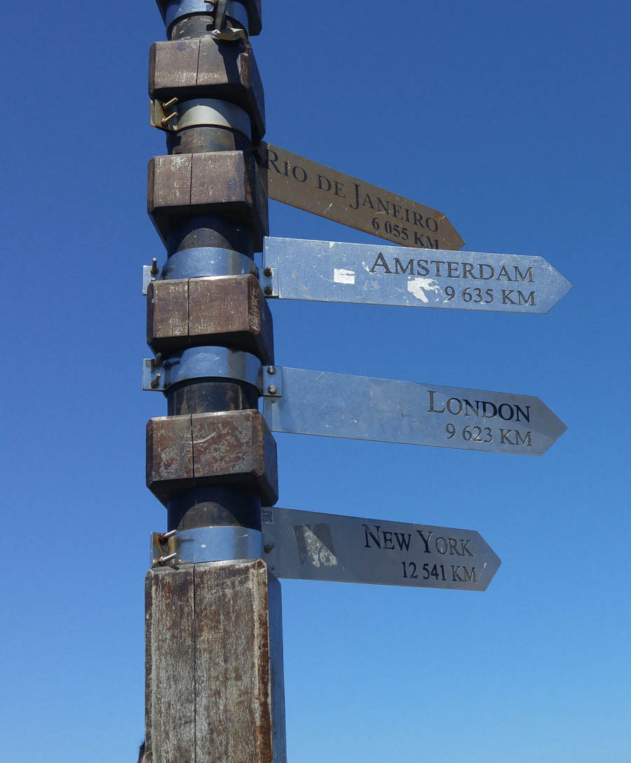
Home sweet home!

Not for sunbathing!
Did You Know? - The air at Cape Point is among the purest in the world, and thus it is home to one of Global Research Watch’s (GAW) atmospheric research stations. GAW is a global network established by the World Meteorological Organization to monitor trends and changes in the Earth’s atmosphere.


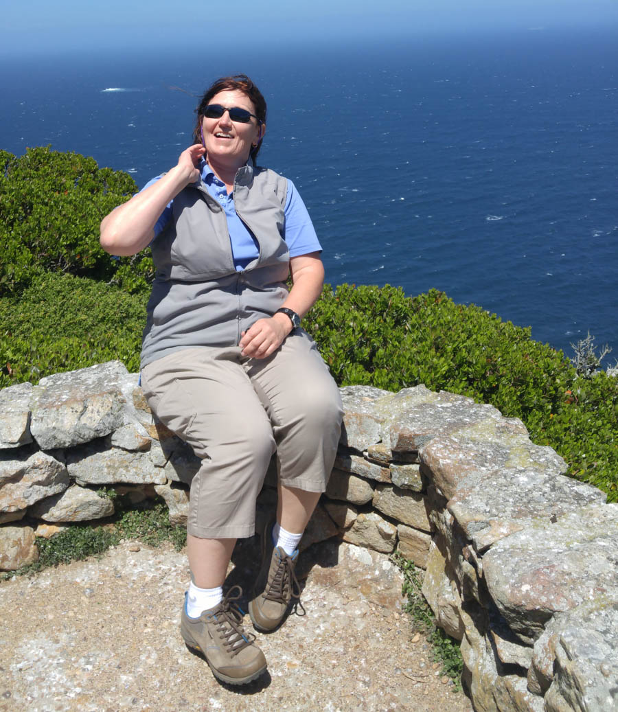

Friends enjoying the scenery
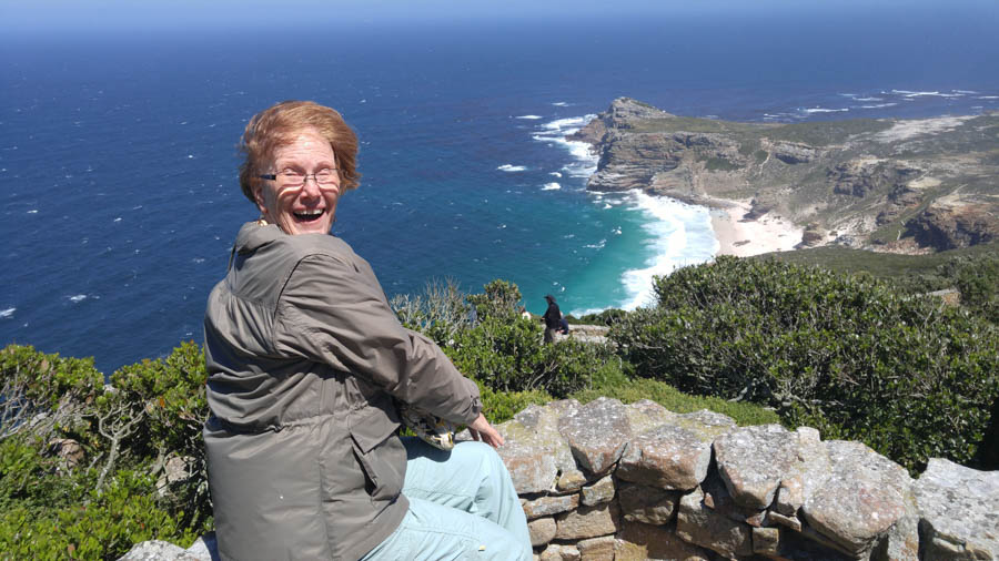
"It's really quite amazing"

"Am I having fun or what?"
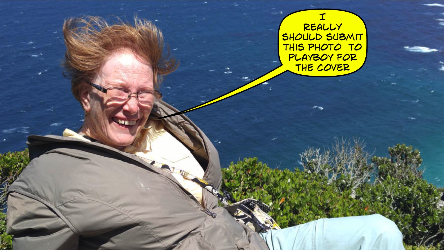

"Where is my kite when I need it?
Did You Know? - With shipping losses on the increase in 1942, the South African military erected two small aerials that projected a narrow radar beam capable of detecting German U-Boats rounding the peninsula. Remnants of these and other military structures – including a canon on Kanonkop used to warn Simon’s Town of approaching vessels – are still visible at locations throughout Cape Point.

Back down the mountain we go but his time we walked!!

"I was here!"


Lunch time... Delicious! We dined at the bottom of the funicular
Did You Know? - A funicular, also known as an inclined plane or cliff railway, is a type of cable railway in which a cable attached to a pair of tram-like vehicles on rails moves them up and down a steep slope, the ascending and descending vehicles counterbalancing each other. Funiculars of one type or another have existed for hundreds of years, and they continue to be used for moving both passengers and goods. The name “funicular” itself is derived from the Latin word funiculus, the diminutive of funis, which translates as “rope.”
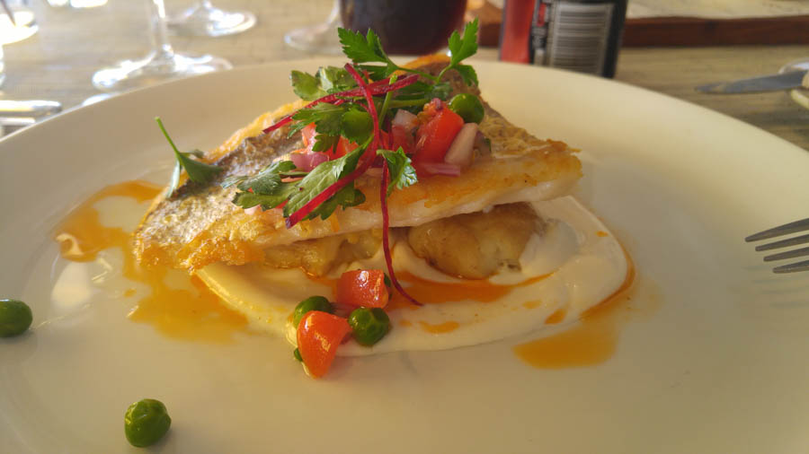
We were afraid to ask what it was!

The Day Trip Cntinues To Boulder Beach
Penguin Visitors Center (Page Ten)