Time To Set Sail For Oslo 9/17/2016 (Page Six)
Short journey to await our ship and we are off to Norway for a short visit before going back to Los Angeles.
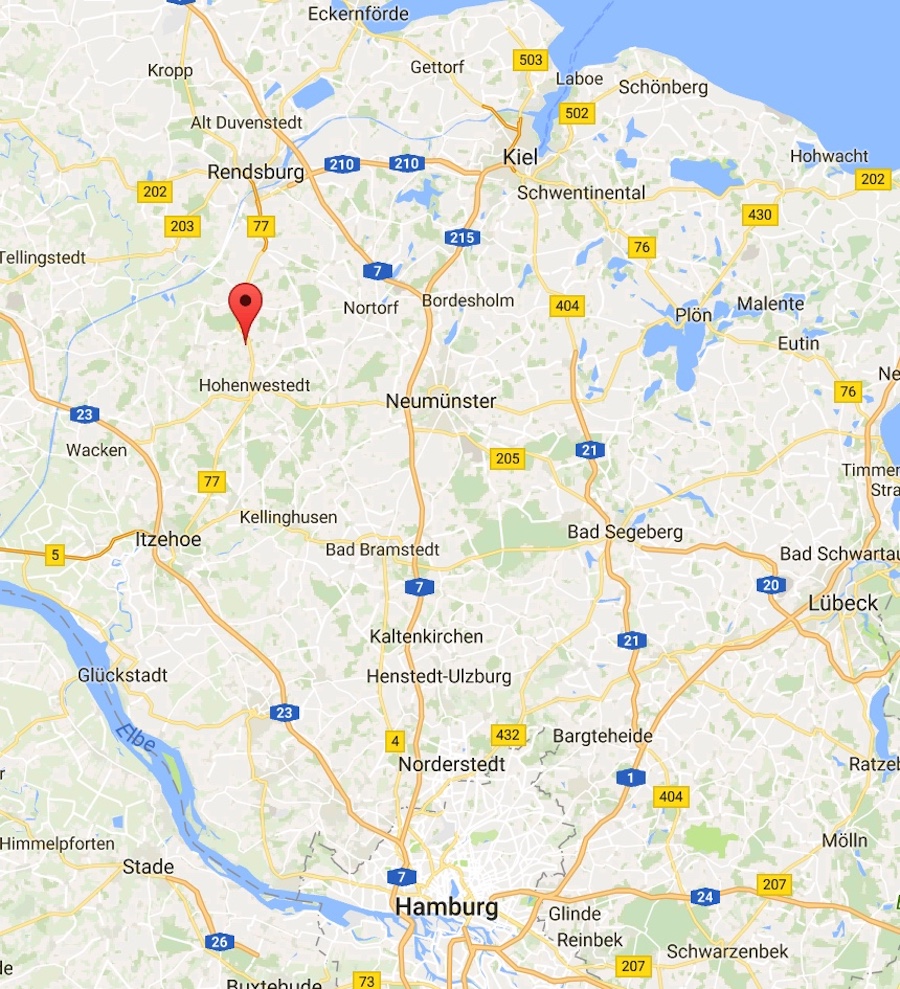
We went from Hamburg to Keil to catch the cruise
on September 16th

Did You Know? - Kiel is the capital and most populous city in the northern German state of Schleswig-Holstein, with a population of 240,832 (June 2014).
Kiel lies approximately 90 kilometres (56 mi) north of Hamburg. Due to its geographic location in the north of Germany, the southeast of the Jutland peninsula, and the southwestern shore of the Baltic Sea, Kiel has become one of the major maritime centres of Germany.
Kiel Fjord was probably first settled by Normans or Vikings who wanted to colonize the land which they had raided, and for many years they settled in German villages. This is evidenced by the geography and architecture of the fjord. The city of Kiel was originally founded in 1233 as Holstenstadt tom Kyle by Count Adolf IV of Holstein, and granted Lübeck city rights in 1242 by Adolf's eldest son, John I of Schauenburg. Being a part of Holstein, Kiel belonged to the Holy Roman Empire and was situated only a few kilometres south of the Danish border.
During World War II, Kiel remained one of the major naval bases and shipbuilding centres of the German Reich. There was also a slave labour camp for the local industry.[9] Because of its status as a naval port and as production site for submarines, Kiel was heavily bombed by the Allies during World War II. The bombing destroyed more than 80% of the remaining old town, 72% of the central residential areas, and 83% of the industrial areas.
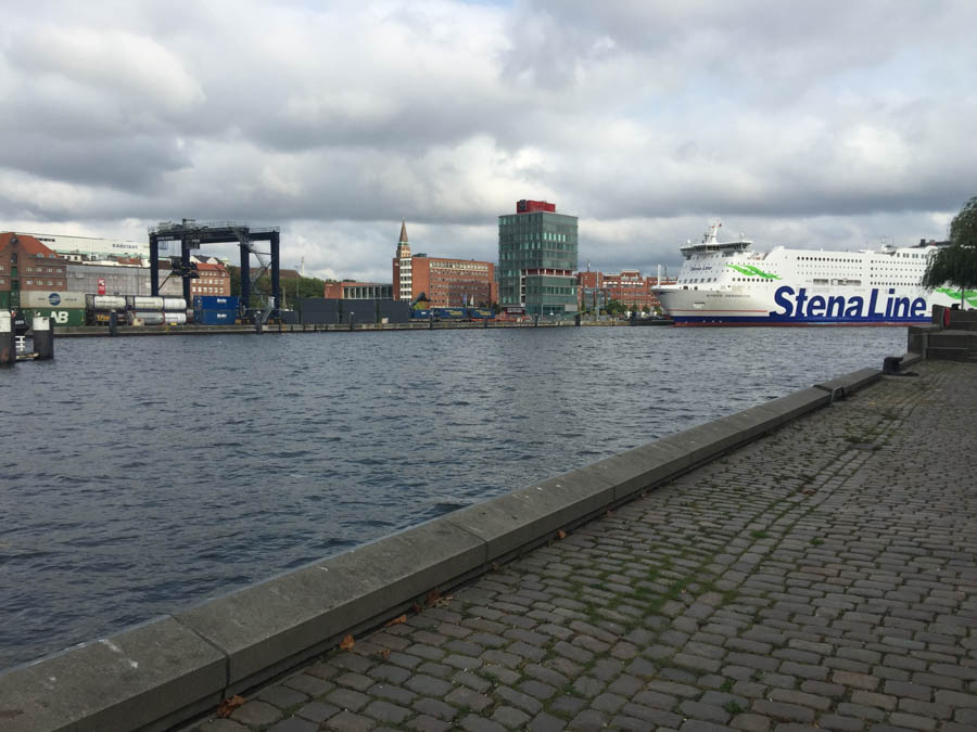
Many large passenger liners come into this port

The clouds remind us how far north we are

The train termional is right next to the port
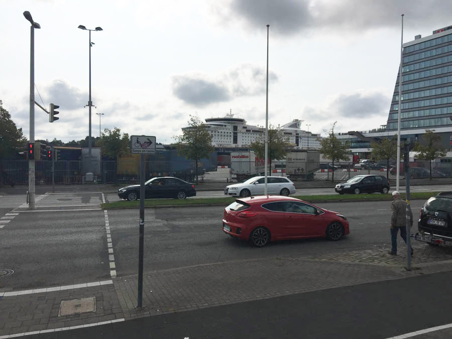
Color Fantasy waits for us
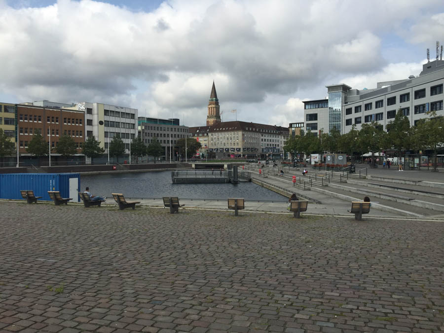
Kiel City Hall in the background

Berliner Platz

Kerstin makes on last land based shopping spree
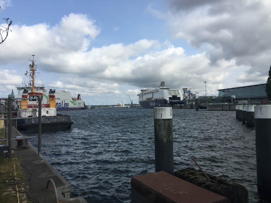
Stena Line and Color Line ships in dock
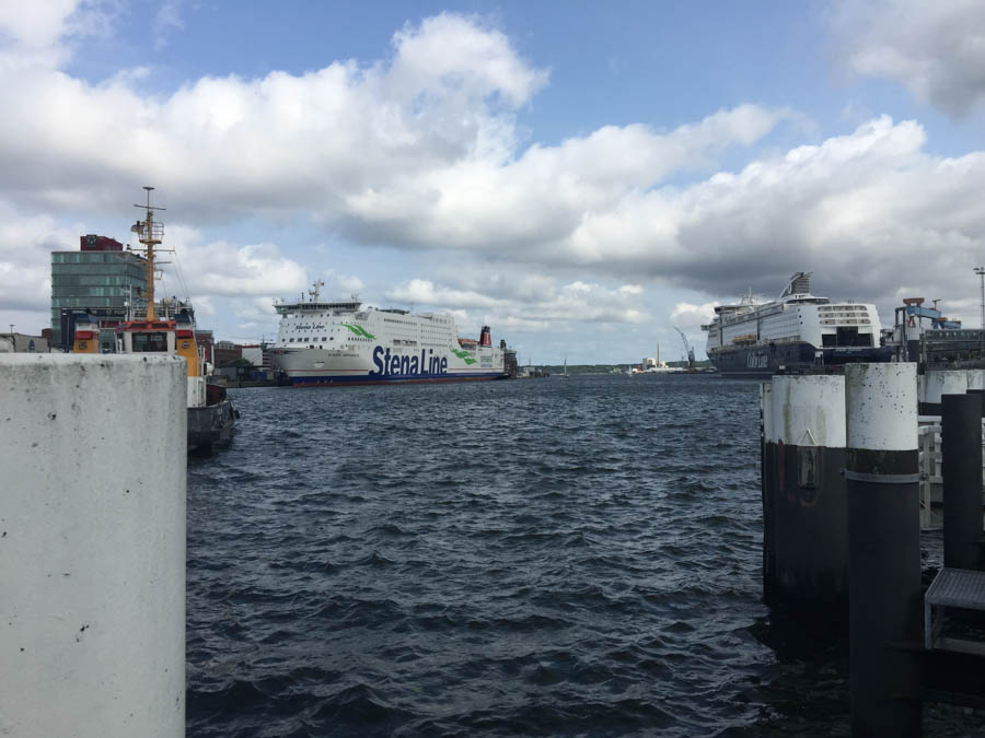
Stena goes to Sweden
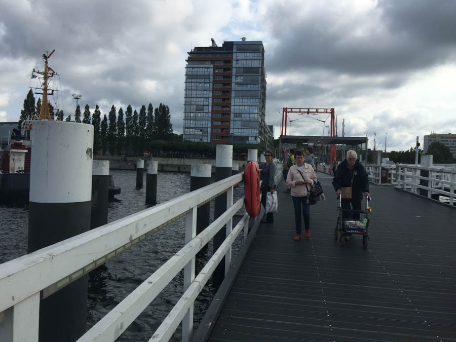
The famous folding bridge
Did You Know? - The Hörn Bridge is 5 metres (16 ft) wide and connects the city centre on the west bank of the Hörn with the Gaarden quarter on the east bank. The pedestrian bridge is especially important for passengers connecting between the Norway Ferry Terminal (Norwegenkai) and the main railway station.
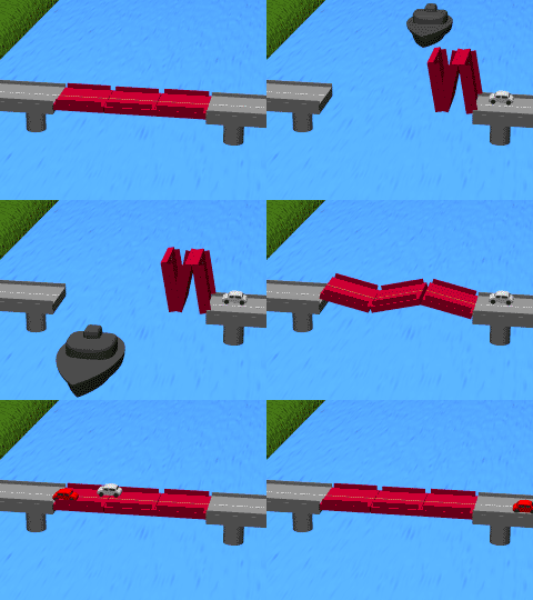
Usually the bridge opens once every hour in order to allow small- and medium-sized ships to travel in and out of the Hörn.
The bridge offers one of the best panoramic views of the city of Kiel. It is also at the beginning and terminating point of a scenic route: the tourist route from Bremervörde to the Kieler Förde connects approximately 50 different ferries, bridges, ship locks, tidal barriers and maritime museums and its landmarks of the Rendsburg and Osten transporter bridges.

We are about to board our ship

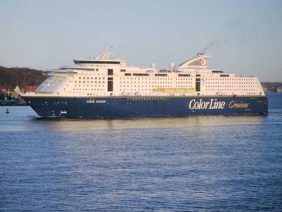
MS Color Fantasy will provide us a nineteen hour cruise to Oslo Norway
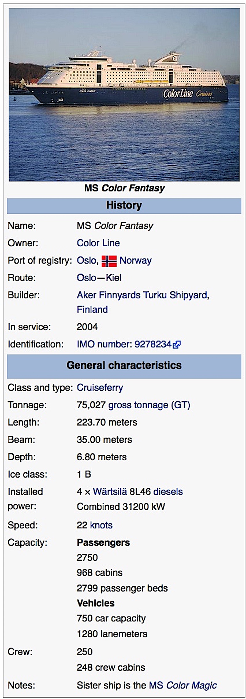
Did You Know? - MS Color Fantasy is a cruiseferry owned and operated by Color Line on their route between Oslo in Norway and Kiel in Germany. The ship was built in Finland at Aker Finnyards Turku Shipyard in 2004. Color Fantasy is currently the world's second largest cruiseferry, surpassed only by her sister ship, the MS Color Magic.

We are ready for the cruise
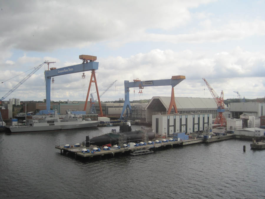
It used to be Wowaldt Werke
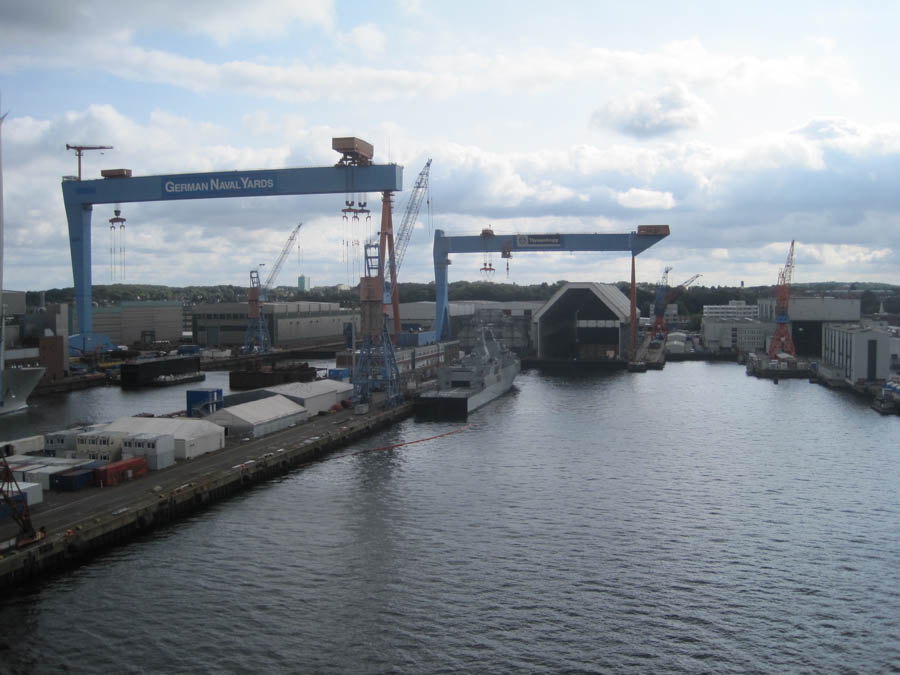
Former Deutsche Howaldtwerke

An amazing yacht...

Someone has a lot of money!
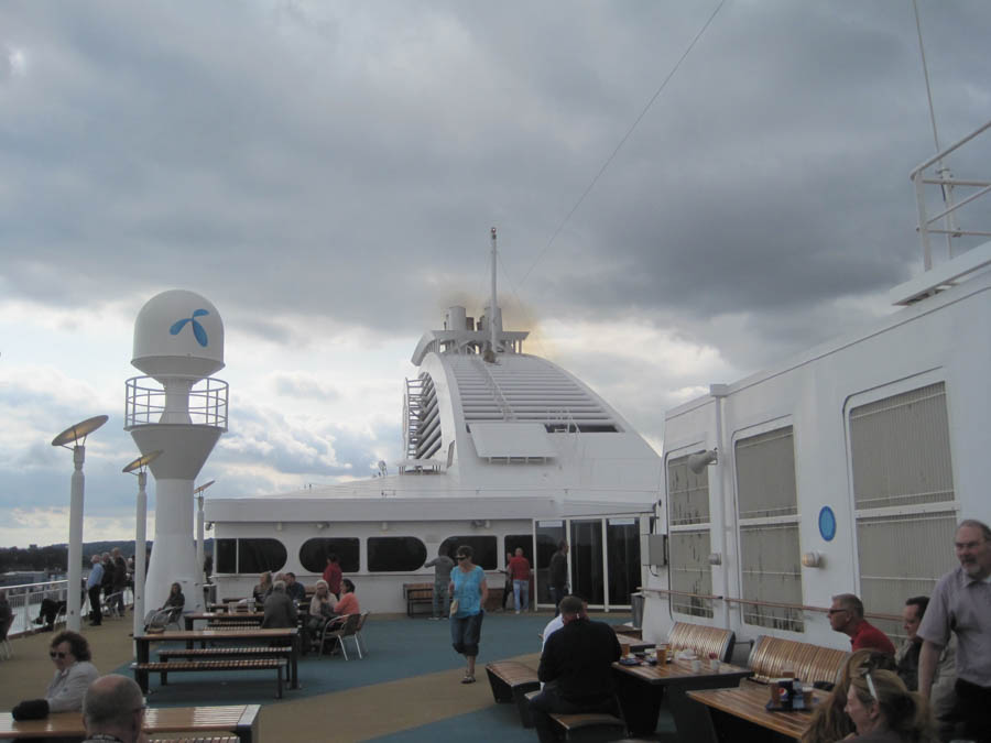
We are leaving

Mein Schiff 4 about to set sail
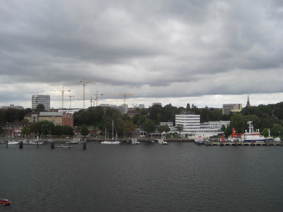
Kiel University Hospital
Did You Know? - The University Medical Center Schleswig-Holstein isone of the largest European centers for medical care the University Medical Center Schleswig-Holstein covers the entire spectrum of modern medical and health care in Kiel and Lübeck, its two locations with a rich tradition in medicine. The close connection between medical research and health care is a major benefit for patients and contributes to the constant high standard of health care provided by the center's 2,000 physicians, scientists and researchers, and 3,600 health staff in 80 clinics and institutes, guaranteeing excellent, highly individualized, multi-disciplinary clinical diagnostics and medical treatment.
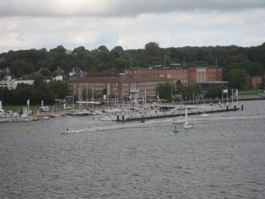
Landtag ... A seat of government
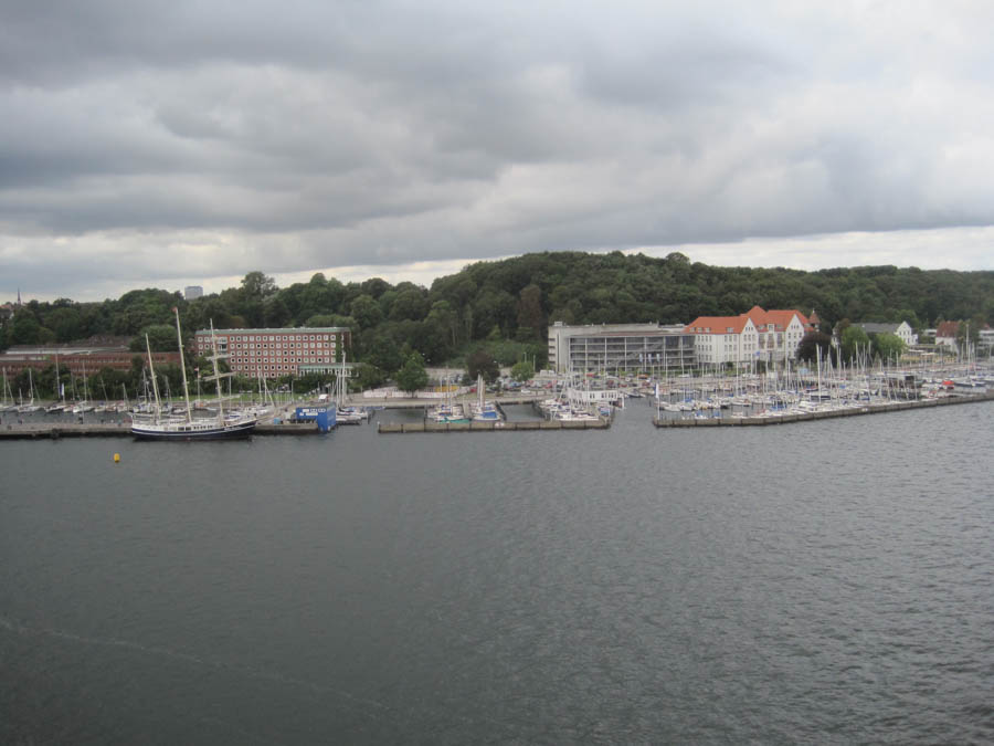
The Kiel Yachtclub

Tirpitzhafen Naval Base
Did You Know? - Kiel has been a naval base since 1864, when the Prussian fleet moved from Danzig to the Kiel Firth. The city was named as the "Reichskriegshafen" (Reich naval harbour) in 1871, which led to naval facilities being set up around the firth and to ultra-rapid development in the shipbuilding industry, which worked mainly on armaments.
Barracks and other military buildings also grew up on the Wik (Kiel district), by the strategically important Kiel Canal, and a naval harbour on the north Kiellinie (promenade), built on the initiative of Admiral of the Fleet Alfred von Tirpitz, and bearing his name. It was the home port for units of the Kaiserliche Marine, the Kriegsmarine, the Bundesmarine and now the Deutsche Marine (German navy).
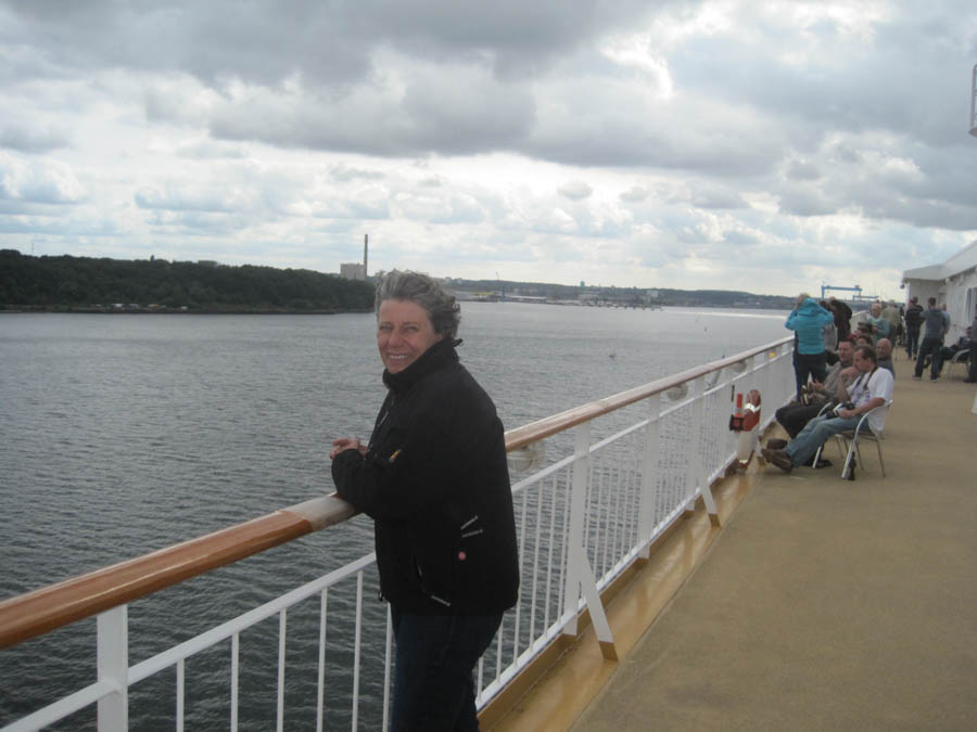
Kerstin is enjoying the voyage
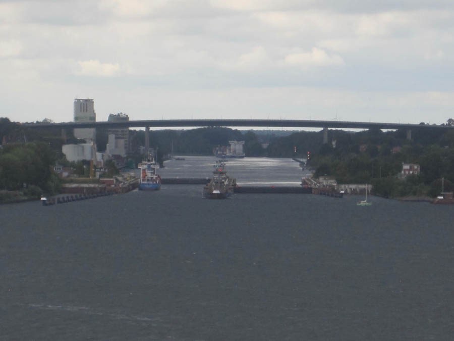
Locks to the Kiel Canal
Did You Know? - The Kiel Canal (German: Nord-Ostsee-Kanal, literally "North-[to]-Baltic Sea canal", formerly known as the Kaiser-Wilhelm-Kanal) is a 98-kilometre (61 mi) long freshwater canal in the German state of Schleswig-Holstein. The canal was finished in 1895, but later widened, and links the North Sea at Brunsbüttel to the Baltic Sea at Kiel-Holtenau. An average of 250 nautical miles (460 km) is saved by using the Kiel Canal instead of going around the Jutland Peninsula. This not only saves time but also avoids storm-prone seas.
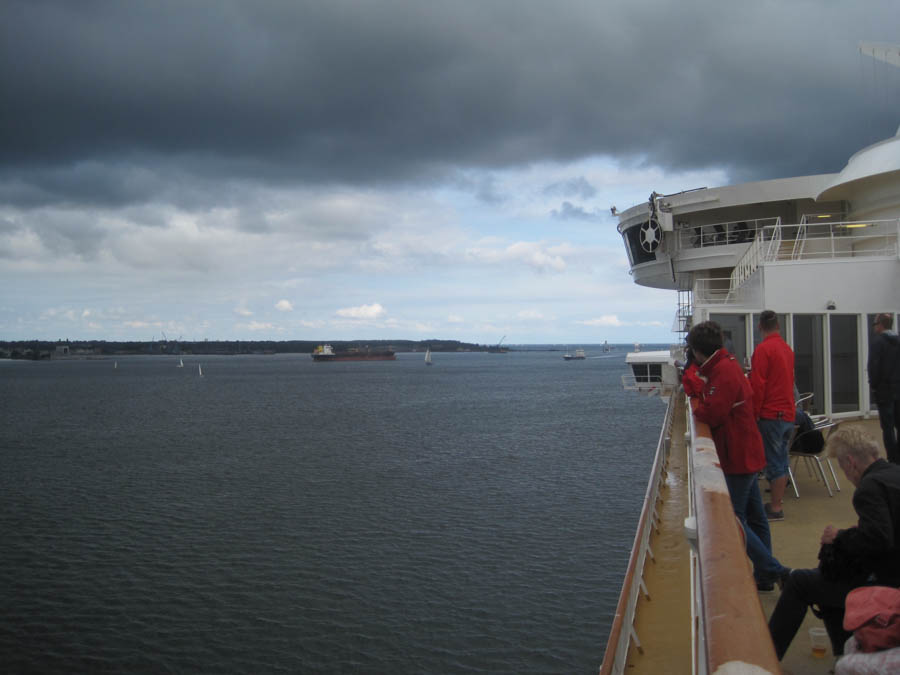
Looking at Friedrichsort
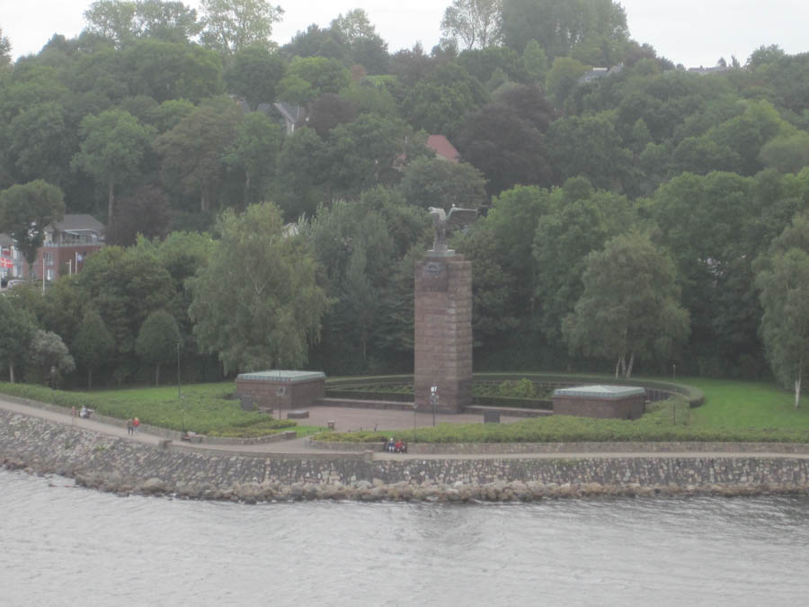
U-Boat Memorial on the shore
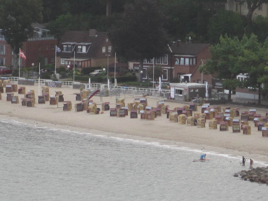
Strandkorbs along the beach
Did You Know? -
A strandkorb (from German, meaning: beach basket; Danish: strandkurv; English: hooded beach chair) is a special hooded windbreak seating furniture used at vacation and seaside resorts, constructed from wicker, wood panels and canvas, usually seating up to two persons, with reclining backrests. It was designed to provide comfort seating and shelter from wind, rain, sand gusts and sunburn on beach seafront resorts frequented by tourists. Other built-in details, like extendable footrests, sun awning, side folding tables and storage space, provide the user with several comforts.
Strandkorbs are found at nearly all beach seafront resorts of the North Sea and Baltic Sea in Lower Saxony, Schleswig-Holstein and Mecklenburg-Vorpommern, as well as other beach seafronts where sudden fluctuations in adverse weather conditions and wind gusts can prevail. The "strandkorb" beach-chair is considered a cult object of German Gemütlichkeit, which has survived two world wars, social and industrial revolutions and the East-West divide of Germany. From spring to autumn, they can usually be rented from beach-chair wardens (German Strandkorbwärtern). Two different shapes can be distinguished, the straight angular North Sea variety and the round rolling Baltic Sea variety.

Laboe with harbor and memorial
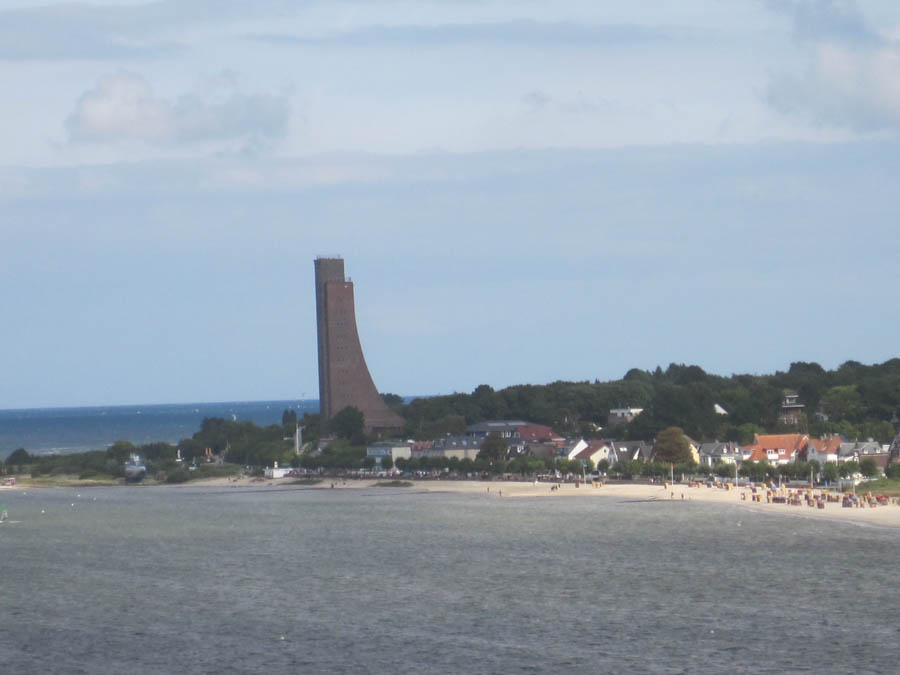
Laboe Memorial to the U-Boats
Did You Know? -
The Laboe Naval Memorial (aka Laboe Tower) is a memorial located in Laboe, near Kiel, in Schleswig-Holstein, Germany. Started in 1927 and completed in 1936, the monument originally memorialized the World War I war dead of the Kaiserliche Marine, with the Kriegsmarine dead of World War II being added after 1945. In 1954, it was rededicated to commemorate the sailors of all nationalities who died during the World Wars.
The monument consists of a 72-metre-high (236 ft) tower topped by an observation deck. The deck stands a total 85 m (279 ft) above sea level. A hall of remembrance and World War II-era German submarine U-995, which houses a technical museum, both sit near the foot of the monument, and the site is a popular tourist venue. U-995 is the world's only remaining Type VII U-boat.
The tower was designed by architect Gustav August Munzer, who stated that the form was not meant to represent anything specific but was to inspire positive feelings in those who look at it. It is frequently associated with the stem of a viking ship or the conning tower of a submarine.

The memorial stands tall

The sail surfers were very busy this afternoon
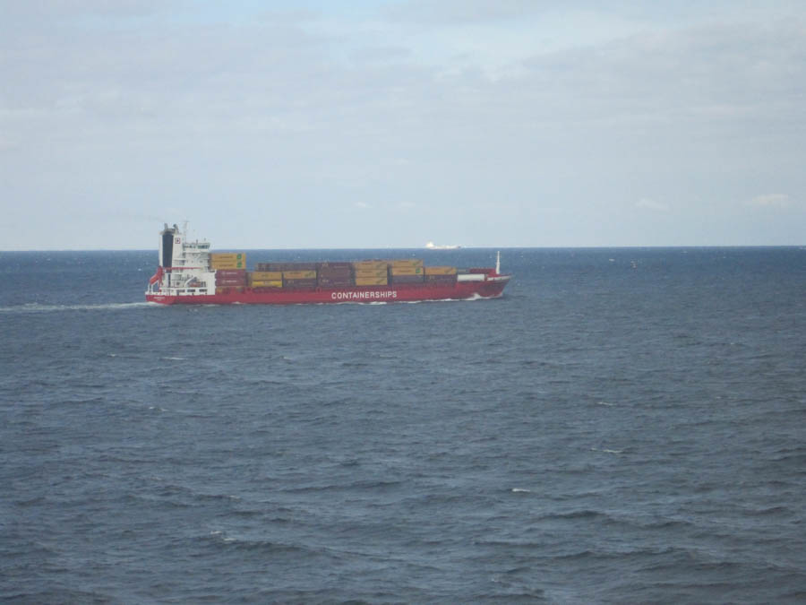
Coming out of the Kiel Kanal


Looks like a small city inside

Dining in elegance
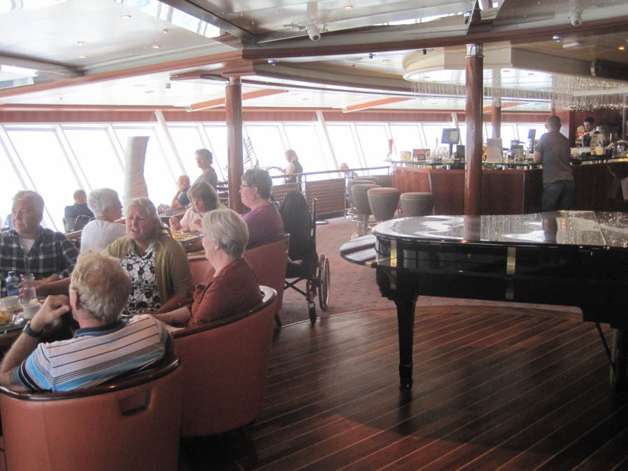
The Observation Bar
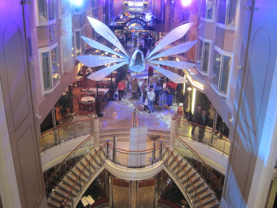
Shopping and dining
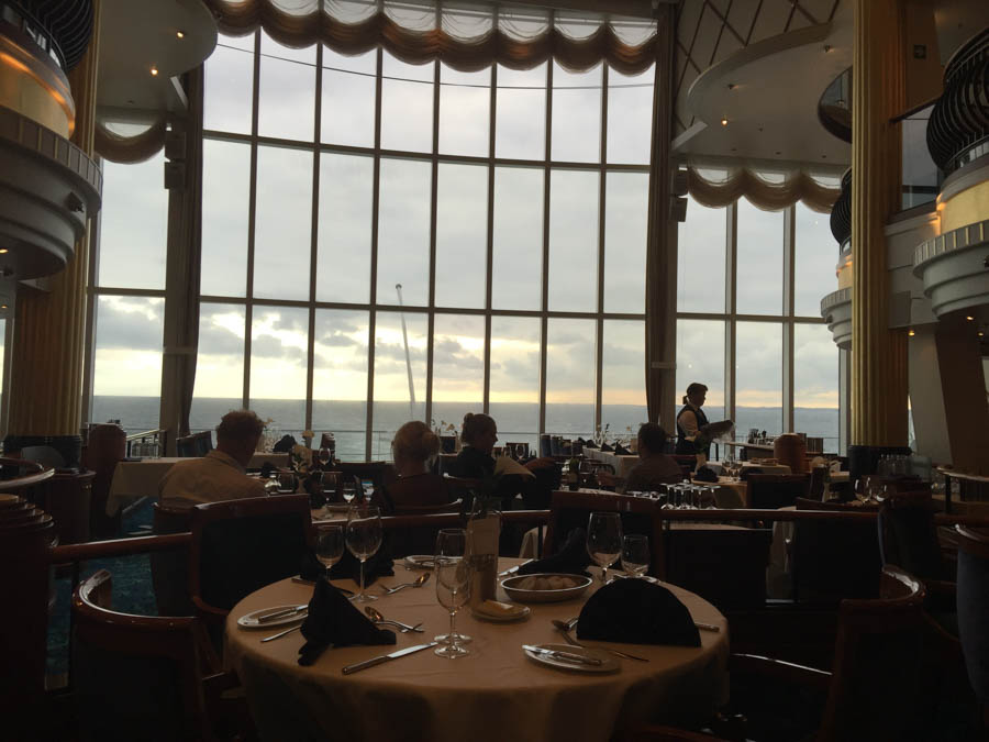
A spectacular view
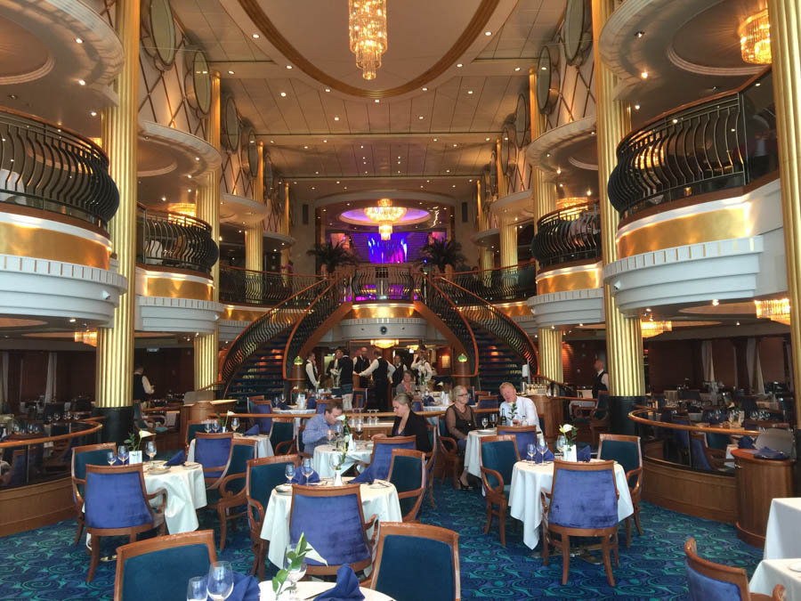
An elegant way to watch the world go by!

Goodbye Sun... See you tomorrow
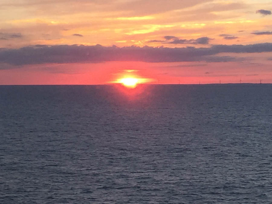
Simply beautiful!
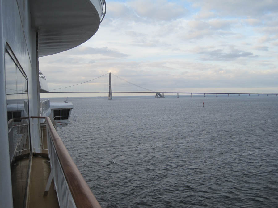
Store Belt Bridge
Did You Know? - The Great Belt Fixed Link (Danish: Storebæltsforbindelsen) runs between the Danish islands of Zealand and Funen. It consists of five structures: a road suspension bridge and a railway tunnel between Zealand and the small island Sprogø located in the middle of the Great Belt, and a box girder bridge for both road and rail traffic between Sprogø and Funen.
The "Great Belt Bridge" (Danish: Storebæltsbroen) commonly refers to the suspension bridge, although it may also be used to mean the box-girder bridge or the link in its entirety. The suspension bridge, officially known as the East Bridge, has the world's third longest main span (1.6 km), and the longest outside of Asia.
It was designed by the Danish engineering firms COWI and Ramboll. The link replaced the ferry service that had been the primary means of crossing the Great Belt. After more than five decades of speculation and debate, the decision to construct the link was made in 1986; the original intent was to complete the railway link three years before opening the road connection, but the link opened to rail traffic in 1997 and road traffic in 1998.
At an estimated cost of DKK 21.4 billion (1988 prices), the link is the largest construction project in Danish history.

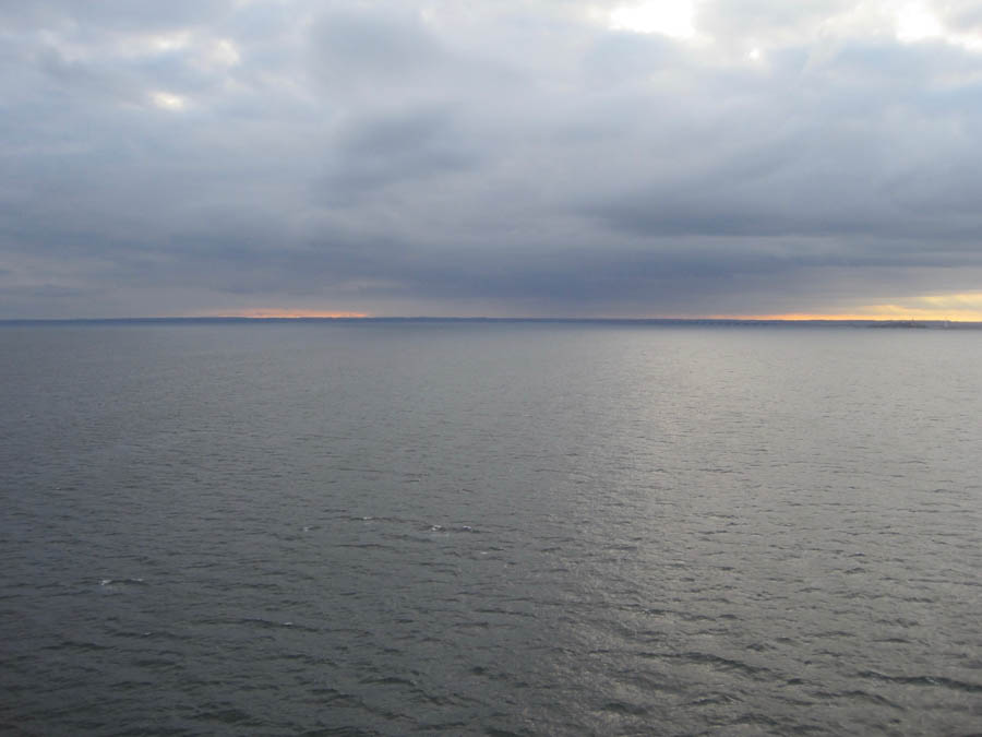
Maybe some rain ahead
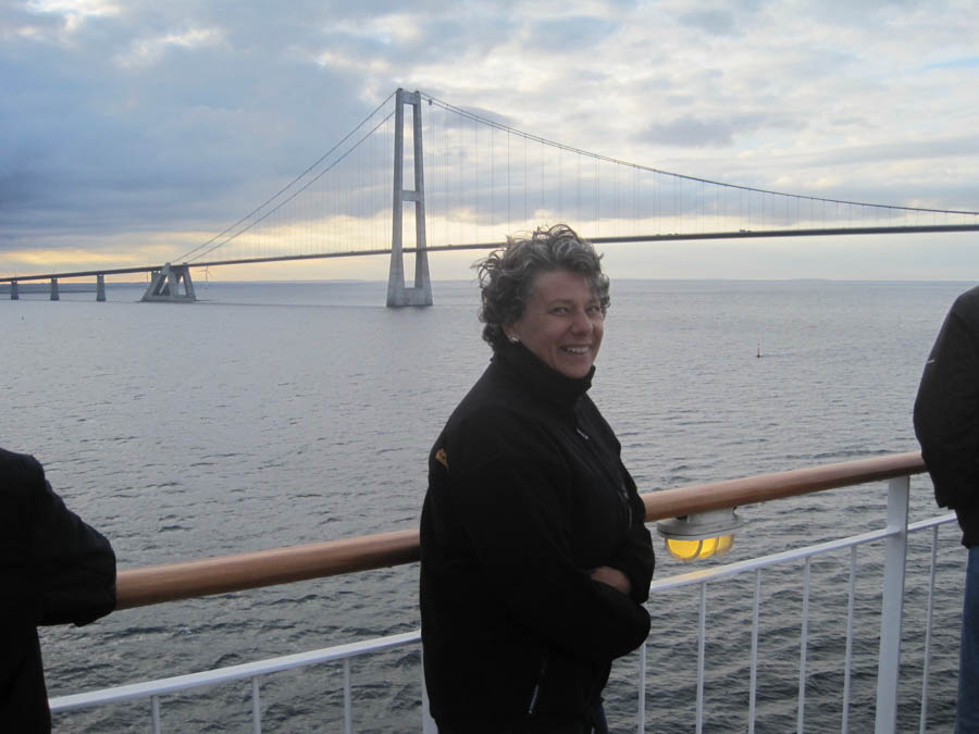
"We made it under the bridge and I did not have to duck!"
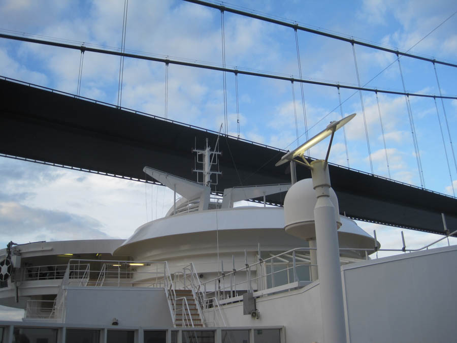
Made it by a few inches!

Time to rest!

Handsome devil!
Romance at sea!
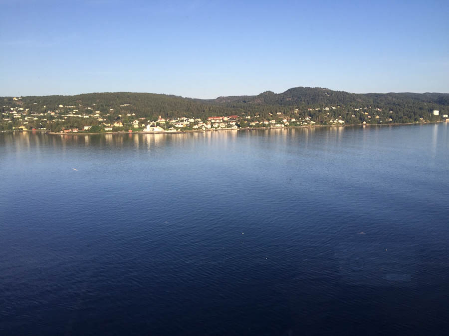
The beginning of the 100 km Oslo Fjord
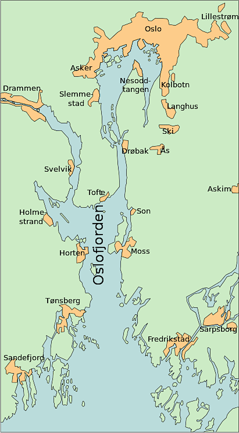
Did You Know? - The Oslofjord (Norwegian: Oslofjorden, English: Oslo Fjord) is an inlet in the south-east of Norway, stretching from an imaginary line between the Torbjørnskjær and Færder lighthouses and down to Langesund in the south to Oslo in the north.
It is part of the Skagerrak strait, connecting the North Sea and the Kattegat sea area, which leads to the Baltic Sea. The Oslofjord is not a fjord in the geological sense - in Norwegian the term "fjord" can refer to a wide range of waterways.
The bay is divided into the inner (indre) and outer (ytre) Oslofjord at the point of the 17 by 1 kilometre (10.56 by 0.62 mi) Drøbak Sound.
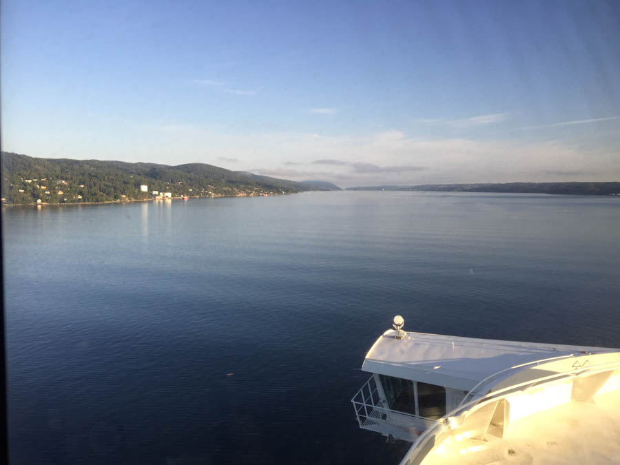
In we go!
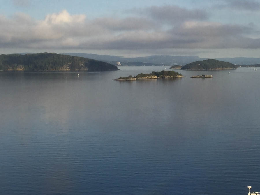
Islands dot the fjord
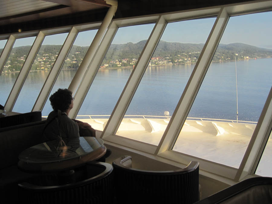
Kerstin enjoyes our voyage
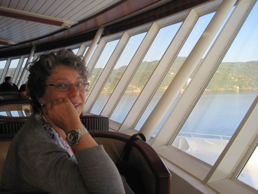
"Pass me a drink and I will steer the ship!"
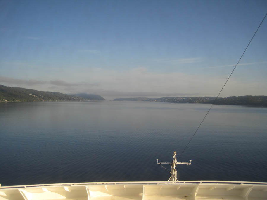
The fjord is huge
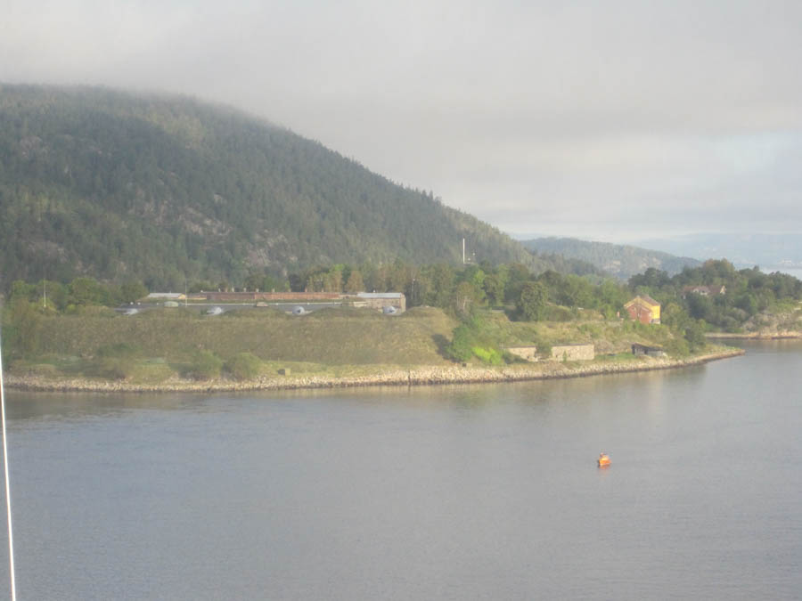
Small towns are on both sides of the fjord
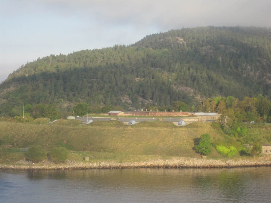
Oscarsborg Fortress
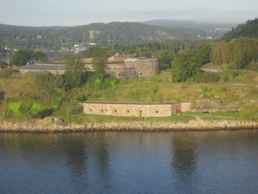
The fortress still stands today
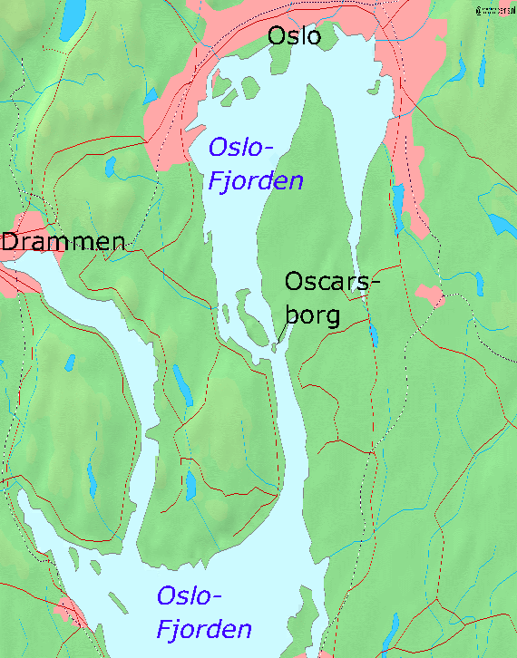
About half way down the fjord
Did You Know? - Oscarsborg Fortress (Norwegian: Oscarsborg festning) is a coastal fortress in the Oslofjord, close to the small town of Drøbak. The best known part is situated on two small islets. The main artillery batteries are on the island Håøya and smaller batteries on the mainland to the west and east in the fjord and was military territory until 2003 when it was made a publicly available resort island. The fortress is best known for sinking the German heavy cruiser Blücher on 9 April 1940.
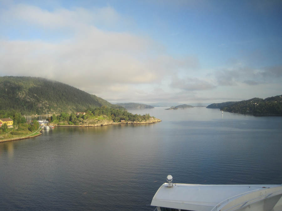
The straights get a little narrow in spots

:Lookout island, we we come"
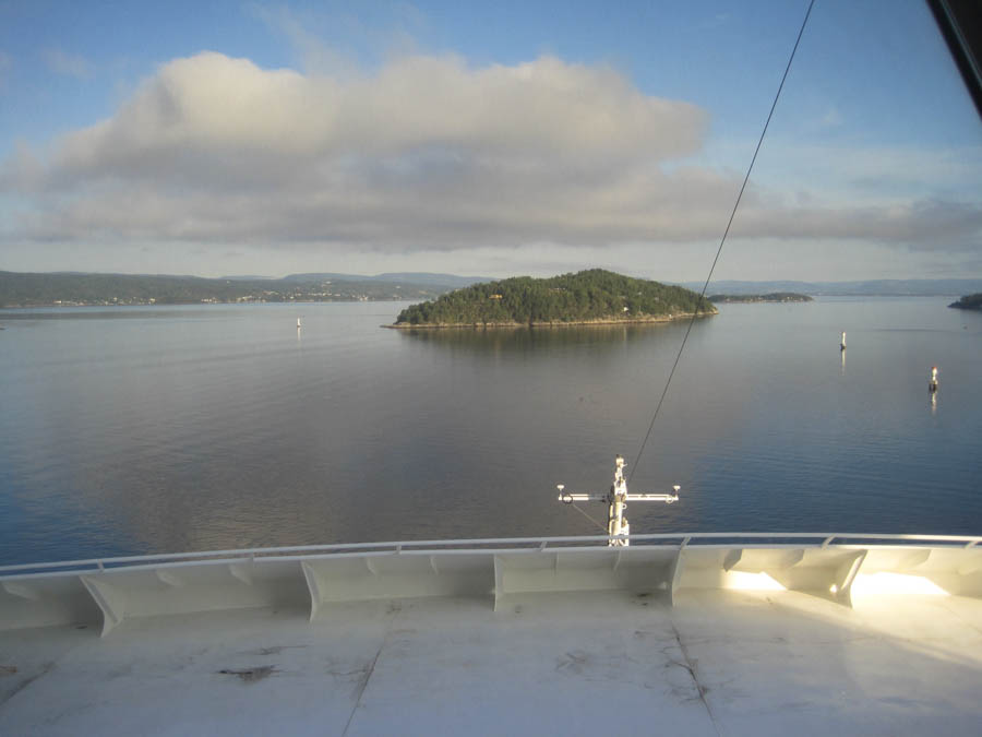
Oh oh... He did not move
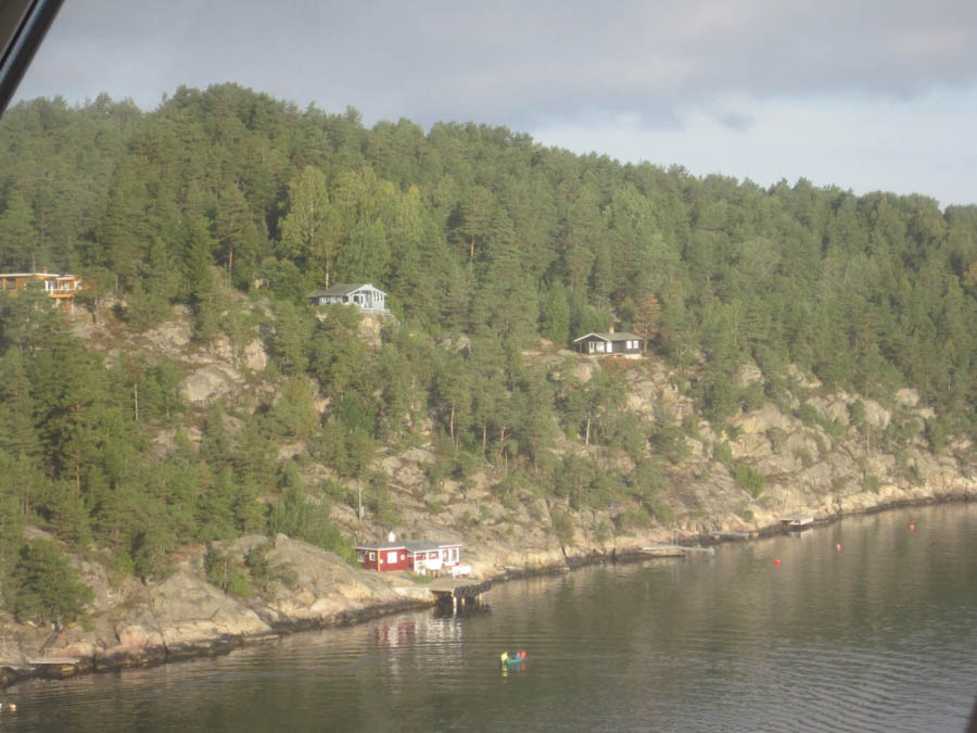
Small homes dot the banks

September 18th 2016
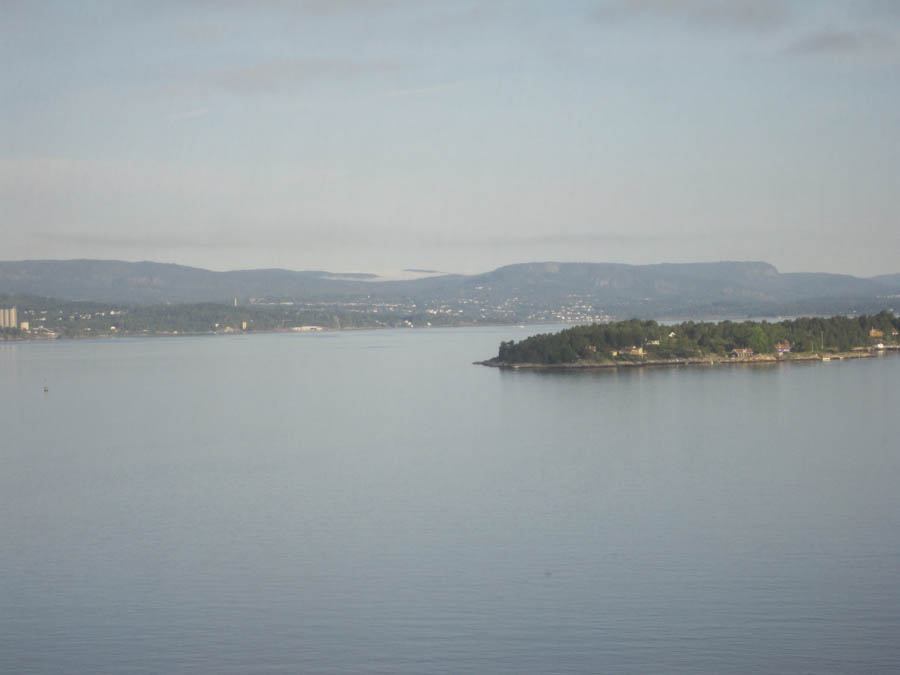
Oslo isin the distance
Did You Know? - Oslo (English pronunciation: /ˈɒzloʊ/, OZ-loh,[8] Norwegian pronunciation: [ˈuʂˈlu] ( listen) or, rarer [ˈusˈlu] or [ˈuʂlu]) is the capital and the most populous city in Norway.
Oslo constitutes both a county and a municipality. Founded in the year 1040, and established as a "kaupstad" or trading place in 1048 by King Harald III, the city was elevated to a bishopric in 1070 and a capital under Haakon V around 1300. Personal unions with Denmark from 1397 to 1523 and again from 1536 to 1814 and with Sweden from 1814 to 1905 reduced its influence. After being destroyed by a fire in 1624, the city was moved closer to Akershus Fortress during the reign of King Christian IV and renamed Christiania in his honour. It was established as a municipality (formannskapsdistrikt) on 1 January 1838. Following a spelling reform, it was known as Kristiania from 1877 to 1925, at which time its original Norwegian name was restored.
Oslo is the economic and governmental centre of Norway. The city is also a hub of Norwegian trade, banking, industry and shipping. It is an important centre for maritime industries and maritime trade in Europe. The city is home to many companies within the maritime sector, some of which are among the world's largest shipping companies, shipbrokers and maritime insurance brokers. Oslo is a pilot city of the Council of Europe and the European Commission intercultural cities programme.
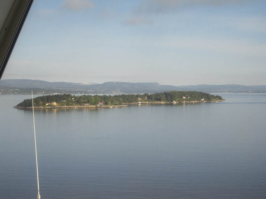
Beep Beep.... You ar ein our way!
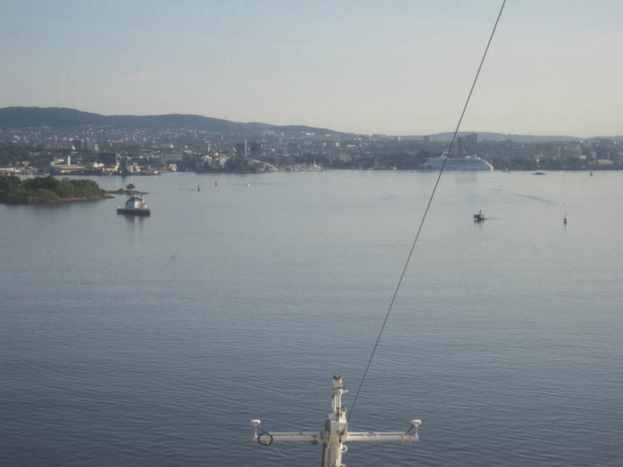
Coming into port

The Oslo Marina
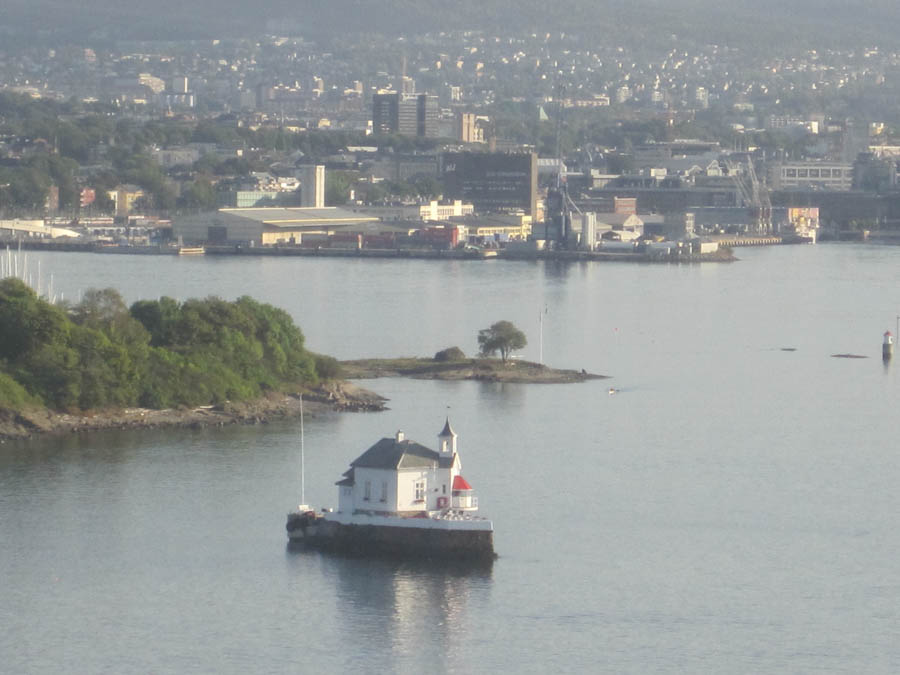
Littlr Lighthouse is a fine place to dine!
Did You Know? In addition to providing guidance in the harbor it:
• Dyna Lighthouse (Norwegian: Dyna fyr) is in Oslo harbor just off the Bygdøy peninsula.
• It was built in 1875 and automated in 1956. It stands 40.6 feet (12.4 meters) tall.
• It was built on a rock about 220 yards (200 meters) off the coast of Bygdøy, about 2 miles (3 km) west of downtown Oslo. Accessible only by boat.
• This is an active lighthouse with a focal plane of 6 m (20 ft). It has a white, red or green light depending on direction, occulting three times every 8 seconds.
• It consists of a wood keeper's house with a lantern in one corner and a fog bell in a steeple overhead. The building is painted white, lantern roof red.
• Surrounded by a stone seawall, this remarkable little lighthouse looks like a ship sailing down the Oslofjord.
• Originally, the keeper looking after Dyna Fyr, was also responsible for two other lighthouses – Kobbernaglen Lykt, between Dyna and Nakholmen, and Kavringen Fyr beside Hovedøya.
• In 1992 the light station was renovated as a private banqueting facility, available for rent. Site is open to guests with banquet reservations. Site manager: Dyna Fyr. Guests are picked up by boat from the City Hall Pier.
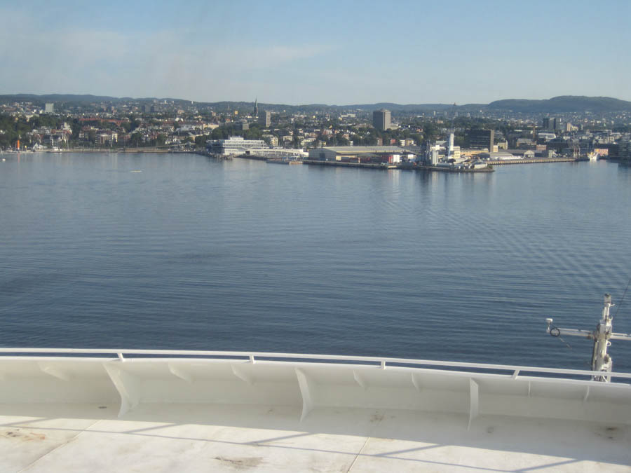
Our destination is directly ahead
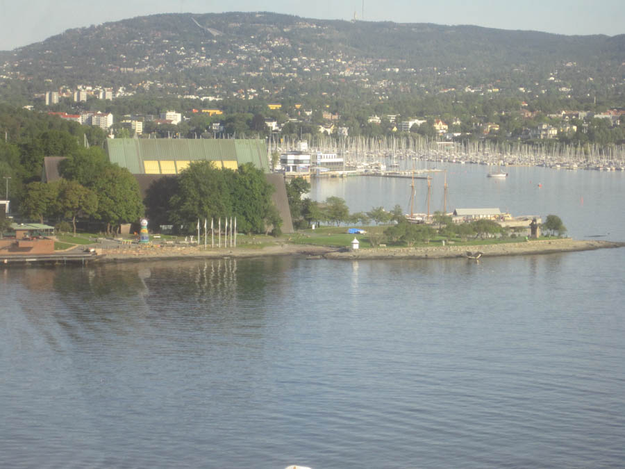
The yacht harbor
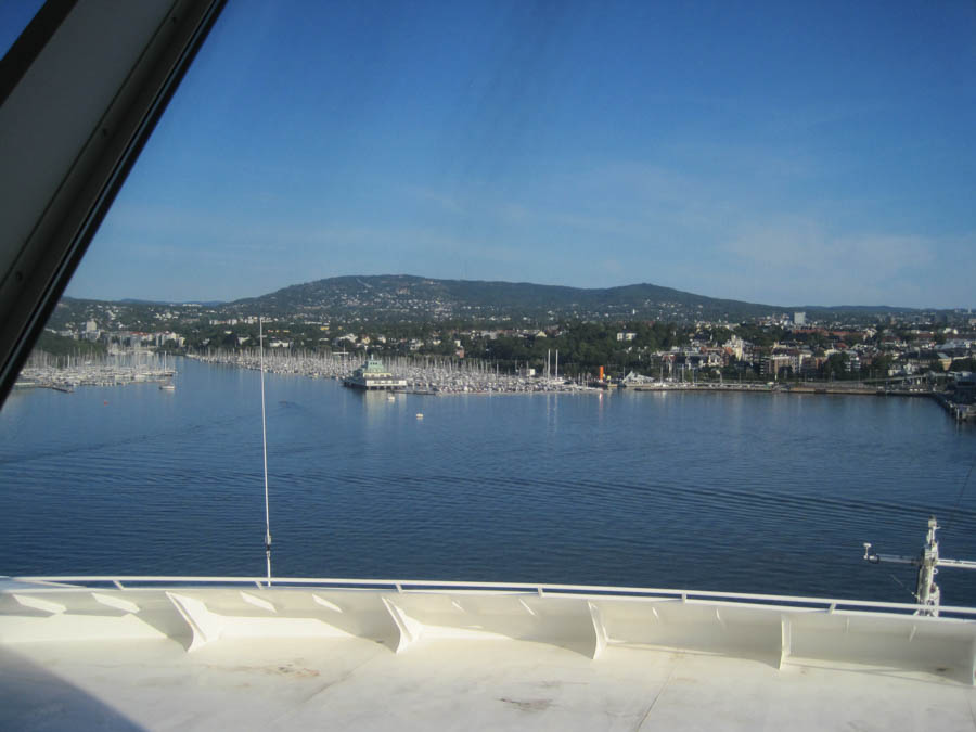
Almost there
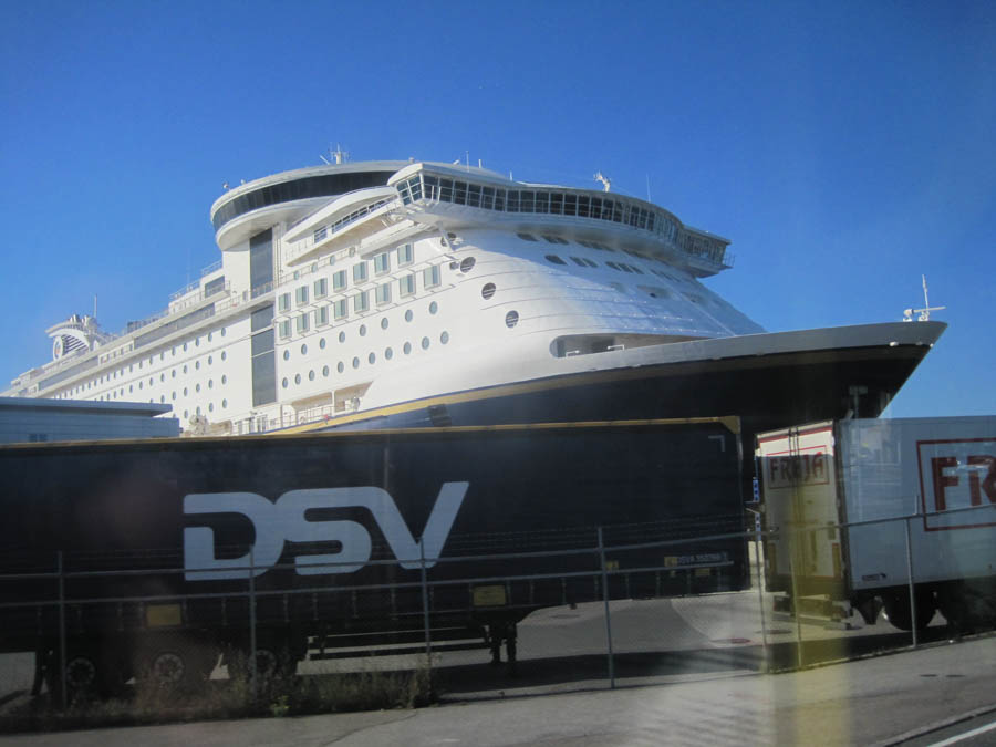
It is September 17th and ready to go home to see Archie
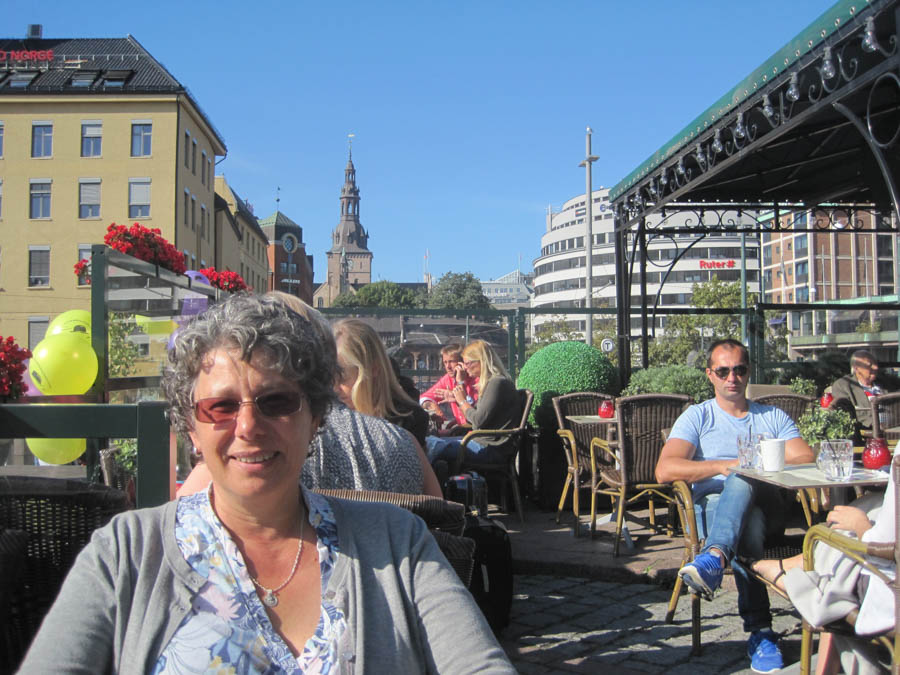
Kerstin at the Egon Cafe in Oslo
Goodbye Europe... See you later
Did You Know? -
Distance To Oslo From Los Angeles is:
5329 miles / 8576.19 km / 4630.77 nautical miles

We will be home in a few hours

Archie learned some new tricks while we were gone
