Entering The Panama Canal 10/21/2006 (Day 10 - Page 1)

The Panama Canal (Spanish: Canal de Panamá) is a major ship canal that traverses the Isthmus of Panama in Central America, connecting the Atlantic and Pacific Oceans. Construction of the canal was one of the largest and most difficult engineering projects ever undertaken. It has had an enormous impact on shipping between the two oceans, replacing the long and treacherous route via the Drake Passage and Cape Horn at the southernmost tip of South America. A ship sailing from New York to San Francisco via the canal travels 9,500 km (6,000 miles), well under half the 22,500 km (14,000 mi) route around Cape Horn.
Although the concept of a canal near Panama dates back to the early 16th century, the first attempt to construct a canal began in 1880 under French leadership. After this attempt failed and saw 22,000 workers die, the project of building a canal was attempted and completed by the United States in Panama in the early 1900s, with the canal opening in 1914. The building of the 77 km (48 mi) canal was plagued by problems, including disease (particularly malaria and yellow fever) and landslides. By the time the canal was completed, a total of 27,500 workers are estimated to have died in the French and U.S. attempts. Since opening, the canal has been enormously successful, and continues to be a key conduit for international shipping. Each year more than 14,000 ships pass through the canal, carrying more than 205 million tons of cargo. By 2002 about 800,000 ships had used the canal altogether
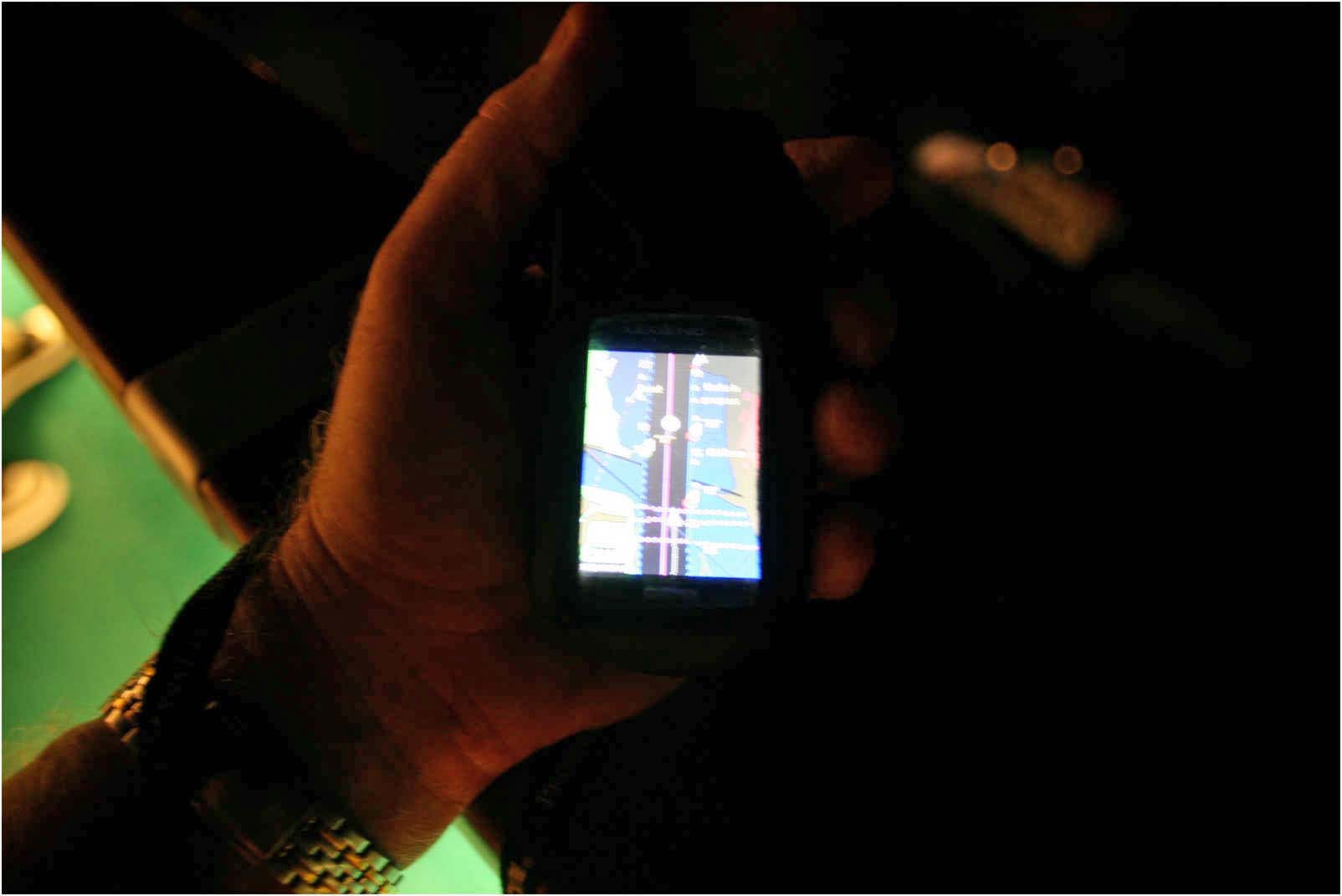
Using My Handheld GPS, We Helped Guide The Ship!
We entered the canal early early in the morning.. around 4 am. The traffic that day was heavy with almost 50 ships making the transition between oceans.

We assisted the Captain using our hand-help GPS

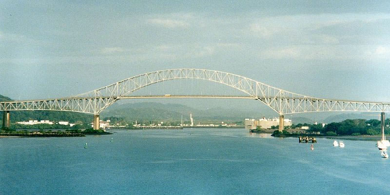
Bridge Of The Americas at 5:30 am
Did You Know? - The Bridge of the Americas crosses the Pacific approach to the Panama Canal at Balboa, near Panama City. It was built between 1959 and 1962 by the United States at a cost of 20 million U.S. dollars. From its completion in 1962 until the opening of the Centennial Bridge in 2004, the Bridge of the Americas was a key part of the Pan-American Highway. The Bridge of the Americas greatly increased road traffic capacity across the canal. There are two earlier bridges which cross the canal, but they use moveable designs and have limited traffic capacity. The earlier spans include a small swinging road bridge (built into the lock structure at Gatún) and a swinging road/rail bridge (constructed in 1942 at Miraflores.) The Centennial Bridge was constructed to eliminate this bottleneck and reduce traffic congestion on the Bridge of the Americas.
The bridge is a cantilever design where the suspended span is a tied arch. The bridge has a total length of 1,654 m (5,425 ft) in 14 spans, abutment to abutment. The main span measures 344 m (1,128 ft) and the tied arch (the center part of the main span) is 259 m (850 ft). The highest point of the bridge is 117 m (384 ft) above mean sea level; the clearance under the main span is 61.3 m (201 ft) at high tide. Ships must cross under this bridge when traversing the canal, and are subject to this height restriction. (The Centennial Bridge is also a fixed obstacle, but its clearance is much higher: 80.0 m (262 ft)).
The bridge is an impressive sight, and a good view can be obtained from the Balboa Yacht Club, where many small boats tie up before or after transiting the canal. Throughout the day and night numerous vessels pass under the bridge, either entering or departing from the Panama Canal. There are wide access ramps at each end, and pedestrian walkways on each side.

In the daylight

Barely made it under the bridge
 You are seeing the underneath of the Bridge Of The Americas as we pass under!
Lights Across The Water Was Amazing!


Remember, the ship was moving along and the camera lens was wide open to capture the light! Sleepy buildings which will be a bustle of energy in a few hours
The Entrance Is Quite Long Before The Initial Lock


Fairly long river ride before the first lock!

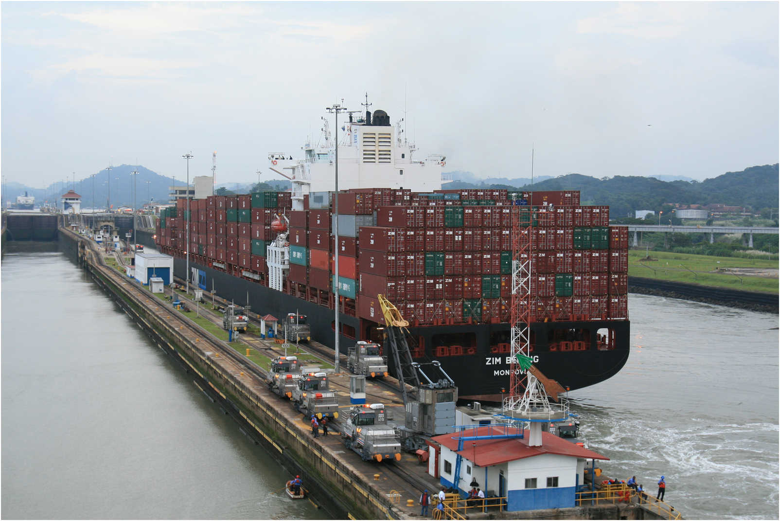
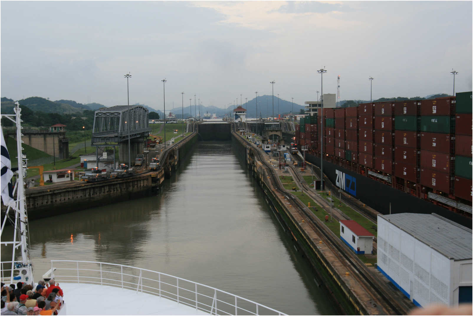
Miraflores Locks ahead... 30+ feet of upward motion! Miraflores is the name of one of the three locks that form part of the Panama Canal and the name of the small lake that separates these locks from the Pedro Miguel locks upstream.
In the Miraflores locks, vessels are lifted (or lowered) in three stages totaling 8 m, allowing them to transit to or from the Pacific Ocean port of Balboa (near Panama City).
Ships cross below the Puente de las Américas (Bridge of the Americas) which connects North and South America.
As of 2005, the following schedule was in effect for ship transit through the locks. From 06:00 to 15:15, ships travel from the Pacific towards the Atlantic.
From 15:45 to 23:00 ships travel from the Atlantic towards the Pacific. At any other time, travel is permitted in both directions.

Loaded and ready to go!

The Map Shows All

We are at the entrance to the Miraflores Locks
Ships Run 24/7
See it in operation with a You Tube Video!

Wonder where in the world he is going?

This guy was loaded with goodies


Good sized ship

We inch forward into the locks


One tight fit


Neck and neck... Who will win? They use movable bridges to enable trains/cars to pass over the canal.


The Panama Canal (Day 10 Page 2)
Entering The Canal Early in The Morning