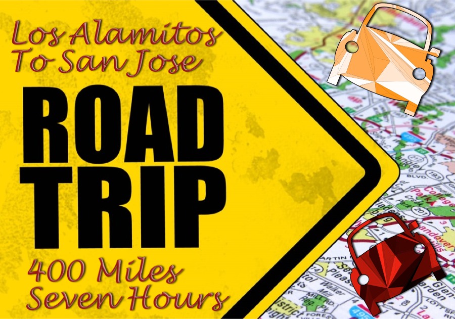
The Road Trip
From Saratoga, California
Zip Zip - Thursday Up And Friday Down.... 800+ Miles (Page Two)
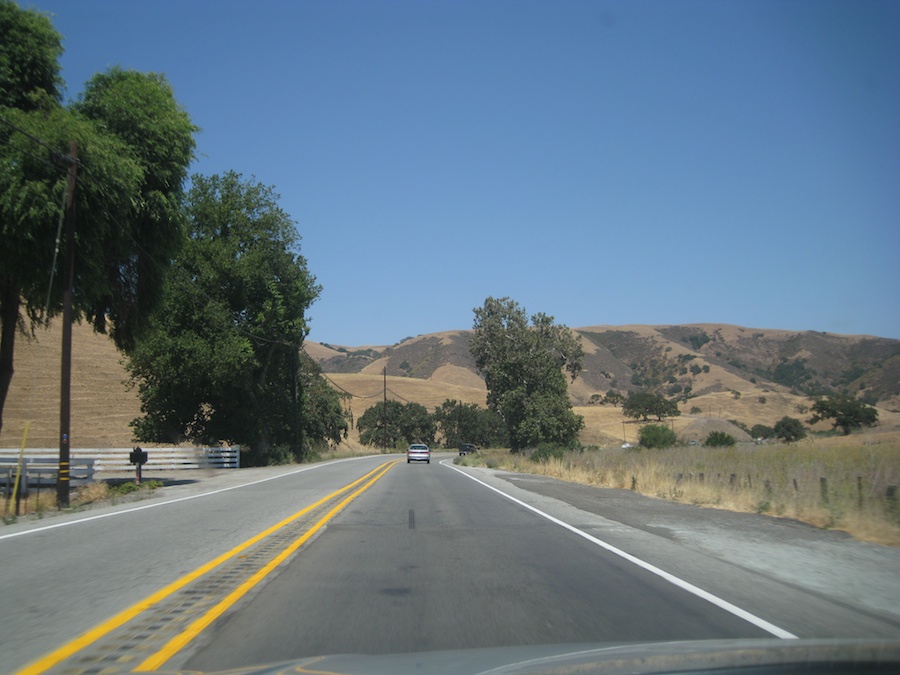
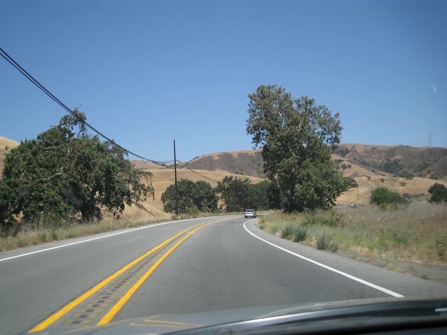
Going Up

398.83 miles
-
6 hrs 49 mins / 7 hrs 26 mins based on current traffic
(Mapquest)
Going Up!
The Sun finally shows itself

Lean to the left... Lean to the right
Time to stop
Coming in on a "Wing And A Prayer"
Off we go....

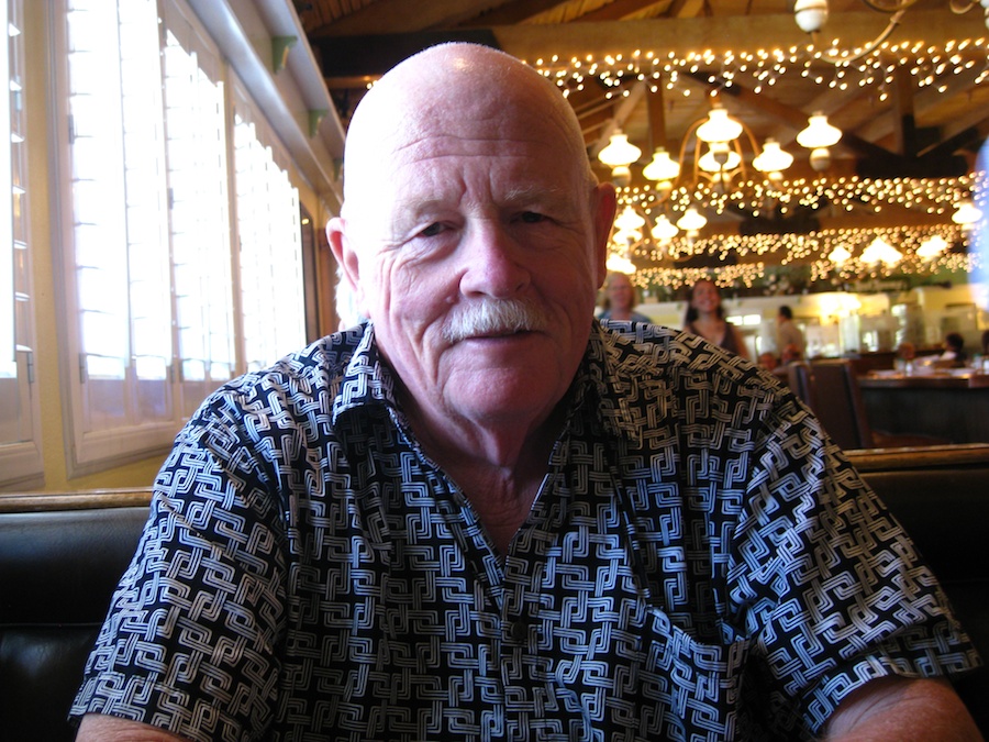
We sat by the entrance
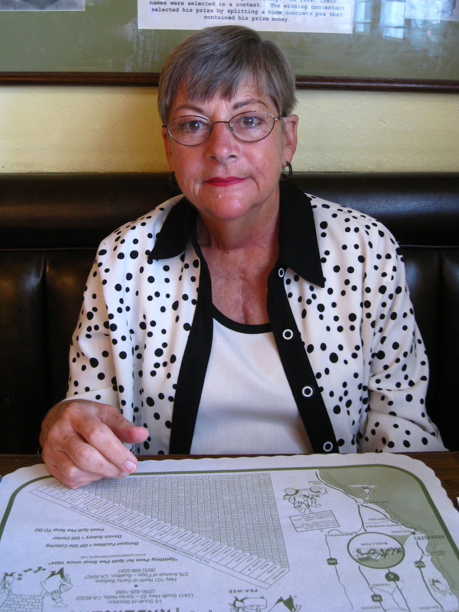
Sweet Sue
Ugly is as Ugly does....

Off on a VFR to Saratoga
Screeeeeeech,,, Tine to squeeze
Huh?
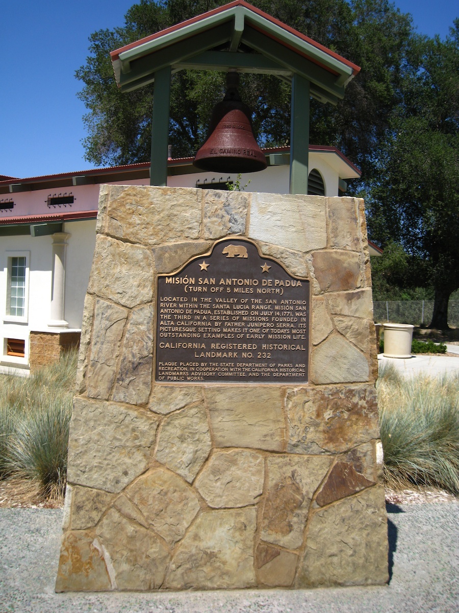
Did You Know? - Mission San Antonio de Padua is a Spanish mission established by the Franciscan order in present-day Monterey County, California, near the present-day town of Jolon. It was founded on July 14, 1771 and was the third mission founded in Alta California by Father Presidente Junípero Serra. The mission was also the site of the first Christian marriage and the first use of fired-tile roofing in Upper California. Today the mission is a parish church of the Diocese of Monterey.
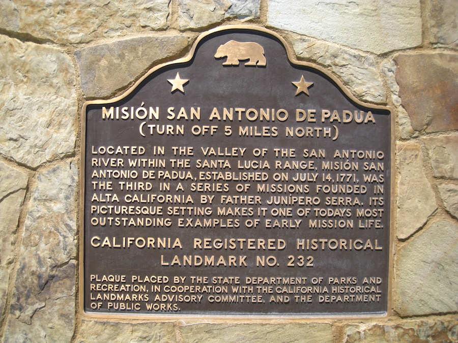
Did You Know? - Father Serra left Fathers Miguel Pieras and Buenaventura Sitjar behind to continue the building efforts, though the construction of the church proper did not actually begin until 1810. By that time, there were 178 Native Americans living at the Mission.
By 1805, the number had increased to 1,300, but in 1834, after the secularization laws went into effect, the total number of Mission Indians at the Mission San Antonio was only 150. No town grew up around the Mission, as many did at other installations.
In 1845, Mexican Governor Pío Pico declared all mission buildings in Alta California for sale, but no one bid for Mission San Antonio. After nearly 30 years, the Mission was returned to the Catholic Church. In 1894, roof tiles were salvaged from the property and installed on the Southern Pacific Railroad depot located in Burlingame, California, one of the first permanent structures constructed in the Mission Revival Style.
Going Home ... We Took The Fastest Way In Order to See Mitch
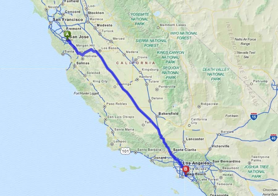
362.98 miles
- 5 hrs 52 mins
Did You Know? - State Route 152 (SR 152) is a state highway that runs near the latitudinal middle of the U.S. state of California from Watsonville to Route 99 southeast of Merced. Its western portion (which is also known as Pacheco Pass Road) provides the best access to and from Interstate 5 toward southern California for motorists in or near San Jose.
Did You Know? - Route 152 begins near Route 1 as a series of local streets that run through downtown Watsonville: East Lake Avenue carries it to the intersection of Casserly Road. This point marks the start of a winding two-lane highway that crosses the Santa Cruz Mountains through Hecker Pass to reach Gilroy. In Gilroy, it is again carried on a series of local streets, then overlapped onto U.S. Route 101 for a small stretch before it separates again a short distance to the south and returns to heading east/west on more local streets in Gilroy.
After exiting the large commercial developments near U.S. 101, Route 152 consists of a single lane in each direction, with narrow shoulders, rain ditches on either side of the road, no center dividers, and posted speed limit of 55 mph (89 km/h), making it prone to head-on collisions. Headlights are required at all times along this portion. This segment is a significant bottleneck for traffic traveling along Route 152 between the San Francisco Bay area and the Central Valley. Upon reaching Route 156 near Hollister, the road expands to two lanes in each direction, and climbs and curves along the valley of Pacheco Creek into the mountains of the Diablo Range, crossing them through the Pacheco Pass into the San Joaquin Valley.
Route 152 continues as a four-lane divided expressway, descending along the northern and eastern shore of the massive San Luis Reservoir. The route passes in between the San Luis Dam and the O'Neill Forebay. The route continues east and passes a large Path 15 substation and then meets Interstate 5 as an expressway. It becomes a speed-limited city street, Pacheco Blvd., while passing through Los Banos.
Zoom

Yes.; Those are bug splats
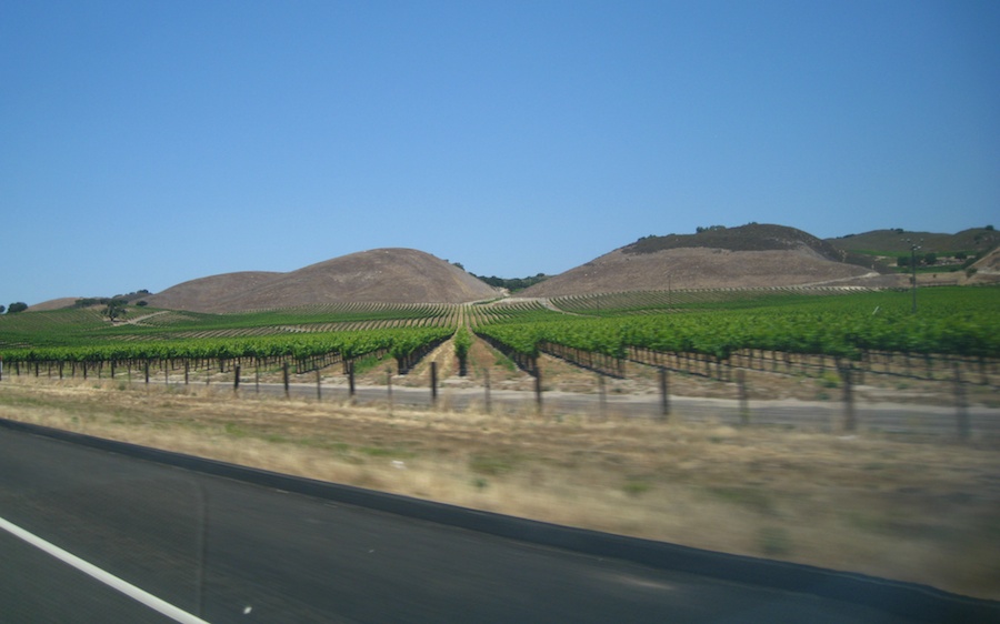
Brown and green... Amazing colors
Highway at 80 MPH

Snap shot at 70 MPH
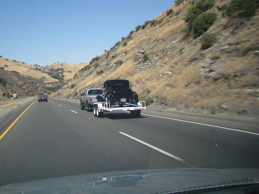
Another hot rod
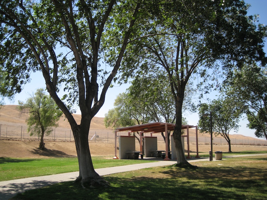
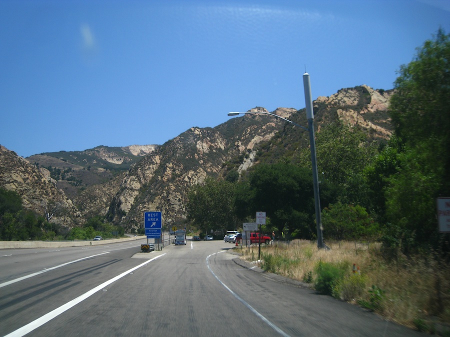
Rest Stop
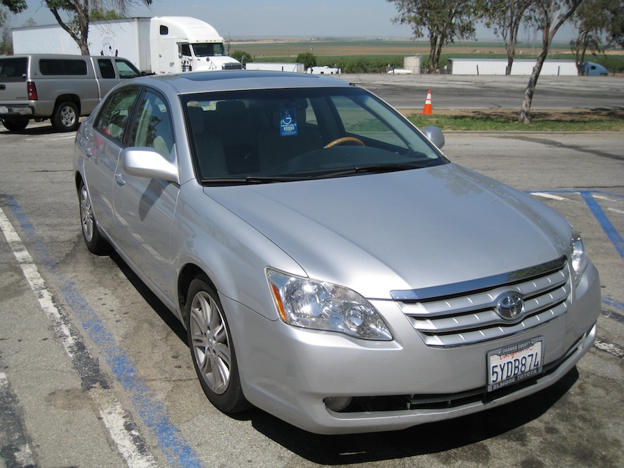
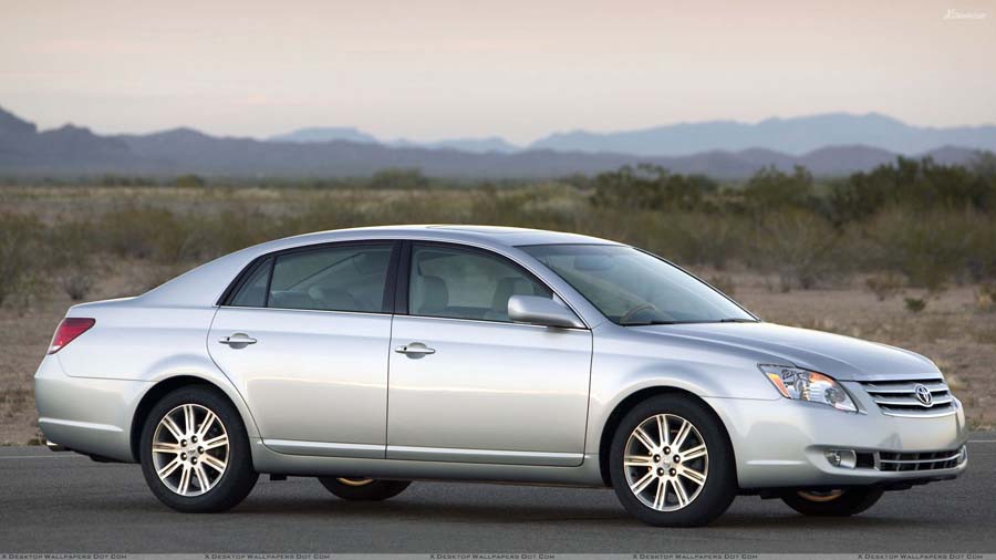
The "Silver Bullet"
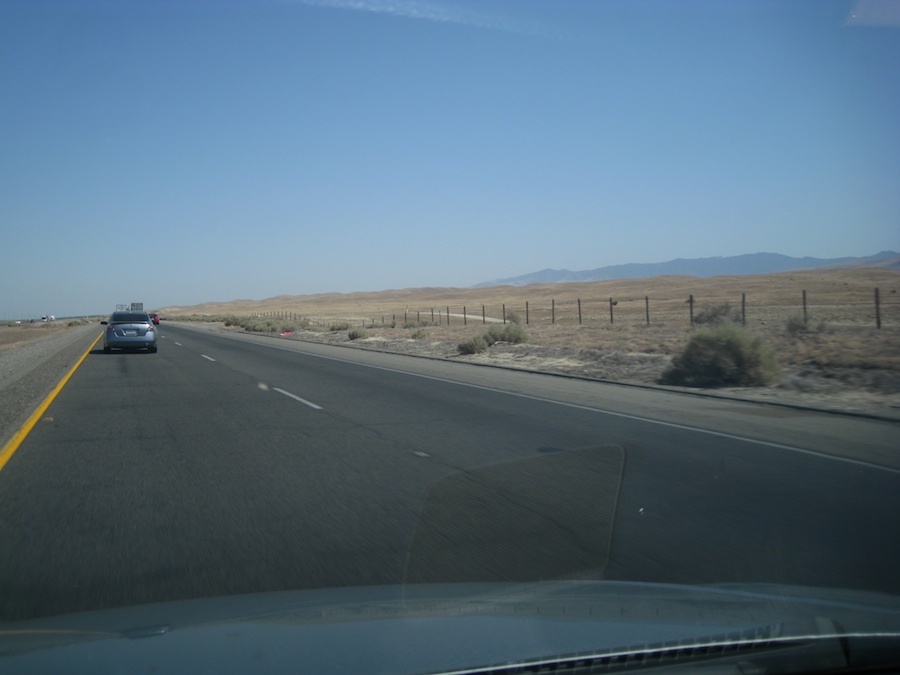
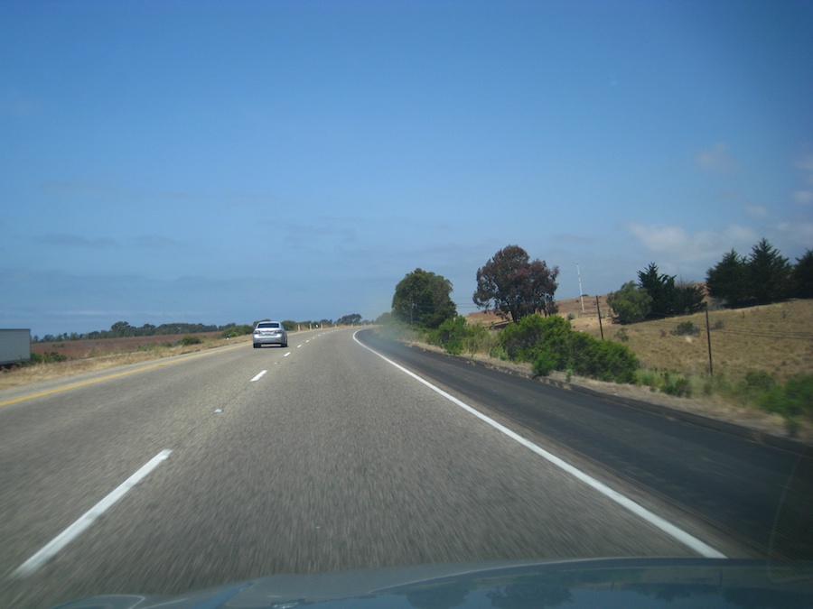
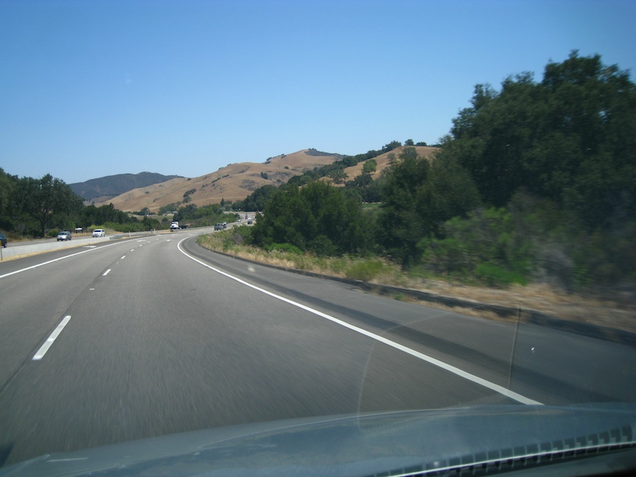
I-5 is empty

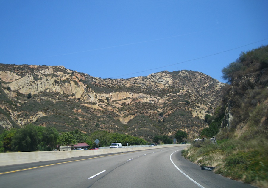
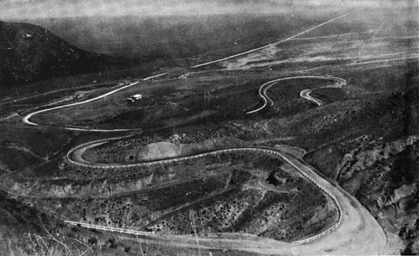
Yeah... We made the Grapevine
Wow....
It is a real grapevine